
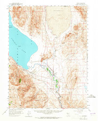
1957 Map of Nixon
USGS Topo · Published 1959About this map
Nixon serves as the central settlement on this late 1950s survey of the Pyramid Lake Indian Reservation. The geography is defined by the massive terminal basin of Pyramid Lake and the drying expanse of Winnemucca Lake to the northeast, separated by the Lake Range. Along the Truckee River, the map records essential infrastructure of the era, including a Southern Pacific rail line, a Landing Strip, and a Gaging Sta. The surrounding mountains—comprising the Pah Rah Range, Virginia Mountains, and Truckee Range—are marked with numerous Prospects and isolated water sources like Rosebush Spr and Creel Spring. This map documents the complex water management and land use within the reservation before modern shoreline changes altered the landscape of the Great Basin.
Find a feature on this map
40 named features on this map. Tap any name to fly to it.
Don’t see what you’re looking for? This feature index may not catch every label — zoom into the map to look around manually.
Map Details
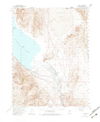
Editions of this 1957 Nixon Map
3 editions found
Other maps of this area

1886 · Granite Range
USGS Topo · 1:250,000

1890 · Wadsworth
USGS Topo · 1:125,000

1891 · Reno
USGS Topo · 1:125,000

1892 · Wadsworth
USGS Topo · 1:125,000

1893 · Reno
USGS Topo · 1:125,000

1894 · Granite Range
USGS Topo · 1:250,000

1894 · Wadsworth
USGS Topo · 1:125,000

1955 · Lovelock
USGS Topo · 1:250,000

1957 · Sutcliffe
USGS Topo · 1:62,500

1957 · Fireball Ridge
USGS Topo · 1:62,500