Old Maps of Preston, Nevada for Hiking & Exploration
Hike through history with 5 historic maps of Preston. Explore old trails, ghost towns, and forgotten backroads — perfect for outdoor adventurers and local explorers.
- Rediscover forgotten places: Map out old mining camps, roads, and footpaths that no longer exist on modern maps.
- Layer with modern tools: Combine with LiDAR or satellite views to plan hikes through historical terrain.
- Made for exploration: Popular among hikers, overlanders, and local history lovers.
Use these maps to find adventure and explore the hidden past of Preston.
Preston, NV maps
(5)- 1956 Map of Lund, 1963 Print
 1956 Lund1963 Print · USGSEastern Nevada and the Utah borderlands are mapped here during the mid-fifties, showing a landscape of high-desert ranches and mountain mining camps. Genealogists and historians can trace family locations through sites like Bristol Silver Mines, Lund, and the Sunnyside Whipple Ranch.2 unique versions available
 - 1960 Map of Lund
 1960 Lund1960 Print · USGSEastern Nevada and the Utah borderlands are mapped here during the mid-twentieth century, showing a landscape of high peaks and isolated ranching outposts. Researchers can locate remote mining sites like the Tungsten Queen Mine and early settlements including Lund and Shoshone.
 - 1979 Map of Preston
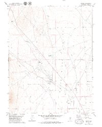 1979 Preston1979 Print · USGSThe rural community of Preston and the surrounding ranchlands are captured here during the late 1970s. Genealogists and local historians can trace family-named water sources like Arnoldson Spr and Nicholas Spr or locate the Ruins near Cold Spring.2 unique versions available
 - 1980 Map of Duckwater, 1981 Print
 1980 Duckwater1981 Print · USGSNye County and White Pine County are shown here in the early eighties as a landscape of isolated valleys and high mountain ranges. Genealogists and researchers can trace remote settlements like Duckwater, locate the Gold Point Mine, or find the unique Meteorite Crater.2 unique versions available
 - 2021 Map of Preston, 2021 Print
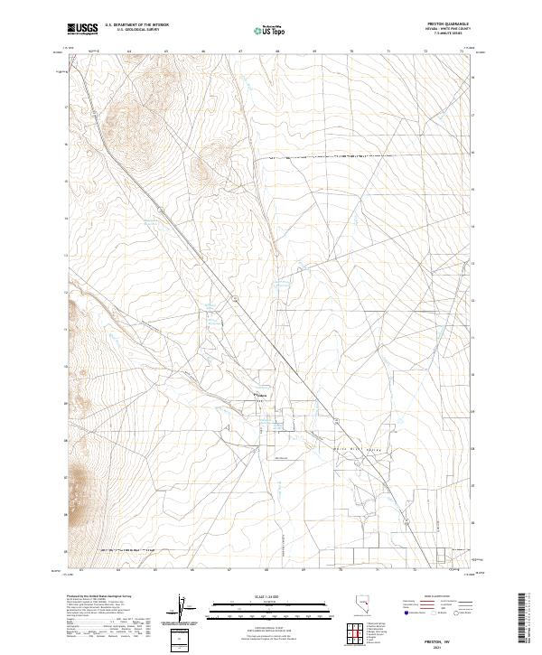 2021 Preston2021 Print · USGSThe White River Valley comes into focus in this recent survey of eastern Nevada. Researchers can trace the local water network through landmarks like Preston Big Spring, Blackjack Reservoir, and the streets of Preston.
End of results
Showing maps 1-5 of 5
Top cities near Preston
Frequently asked questions
- What are the different types of historical maps available for Preston?
- What is the oldest map of Preston?
- Where can I purchase historical maps of Preston for my home or office?
- Where can I download high-res historical maps of Preston?
- Are there historical topographic maps available for Preston?
- Is there historical aerial imagery available for Preston?
- Where are historical maps of Preston sourced from?