Old Maps of Shoshone, Nevada for Hiking & Exploration
Hike through history with 10 historic maps of Shoshone. Explore old trails, ghost towns, and forgotten backroads — perfect for outdoor adventurers and local explorers.
- Rediscover forgotten places: Map out old mining camps, roads, and footpaths that no longer exist on modern maps.
- Layer with modern tools: Combine with LiDAR or satellite views to plan hikes through historical terrain.
- Made for exploration: Popular among hikers, overlanders, and local history lovers.
Use these maps to find adventure and explore the hidden past of Shoshone.
Shoshone, NV maps
(10)- 1948 Map of Wheeler Peak, 1961 Print
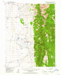 1948 Wheeler Peak1961 Print · USGSThe Snake Range and high desert flats of White Pine County come into focus shortly after the war, showing a landscape shaped by high-altitude mining and ranching. Researchers can trace historic family holdings like Yelton Ranch and locate remote operations including the Silver Bell Mine and Hub Mine.2 unique versions available
 - 1950 Map of Wheeler Peak
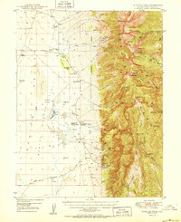 1950 Wheeler Peak1950 Print · USGSEastern Nevada's high-mountain terrain and valley floors come into focus during the late 1940s, showing a landscape shaped by mining and ranching. Genealogists and historians can trace family-held sites like Kirkeby Ranch, find the Shoshone PO Swallow Ranch, and locate various extraction sites including the Everett Mines.2 unique versions available
 - 1956 Map of Lund, 1963 Print
 1956 Lund1963 Print · USGSEastern Nevada and the Utah borderlands are mapped here during the mid-fifties, showing a landscape of high-desert ranches and mountain mining camps. Genealogists and historians can trace family locations through sites like Bristol Silver Mines, Lund, and the Sunnyside Whipple Ranch.2 unique versions available
 - 1960 Map of Lund
 1960 Lund1960 Print · USGSEastern Nevada and the Utah borderlands are mapped here during the mid-twentieth century, showing a landscape of high peaks and isolated ranching outposts. Researchers can locate remote mining sites like the Tungsten Queen Mine and early settlements including Lund and Shoshone.
 - 1979 Map of Garrison, 1980 Print
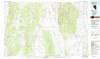 1979 Garrison1980 Print · USGSThe high desert borderlands of Utah and Nevada come into focus in the late seventies, showing the rugged mining and ranching outposts of the Snake Range. Trace old mining operations like the Tungsten Queen Mine or find remote water stops such as Parker Station and Lund Group Well.
 - 1986 Map of Minerva, 1987 Print
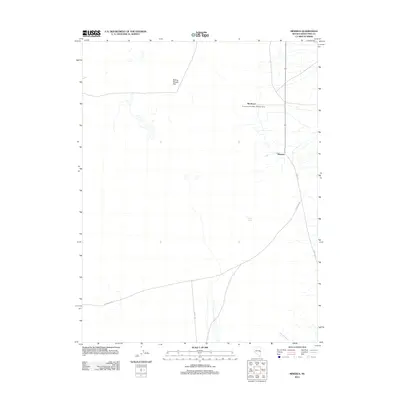
 1986 Minerva1987 Print · USGSWhite Pine County in the mid-1980s reveals a landscape of high-desert springs and mining remnants. Researchers can trace the layout of Minerva and Shoshone or locate features like Scottys Meadow and the tailings near the valley edge.
 - 2012 Map of Minerva, 2012 Print
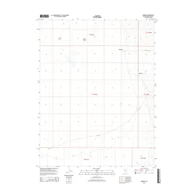
 2012 Minerva2012 Print · USGSCovers Shoshone, including White Pine County, United States, and other nearby areas
 - 2014 Map of Minerva, 2014 Print
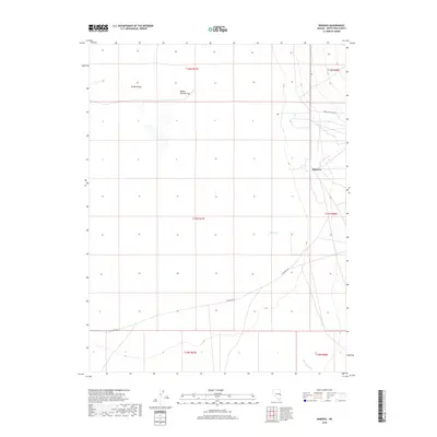
 2014 Minerva2014 Print · USGSCovers Shoshone, including White Pine County, United States, and other nearby areas
 - 2018 Map of Minerva, 2018 Print
 2018 Minerva2018 Print · USGSCovers Shoshone, including White Pine County, United States, and other nearby areas
 - 2021 Map of Minerva, 2021 Print
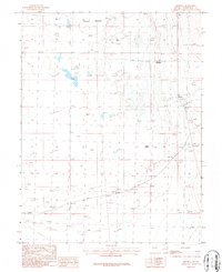
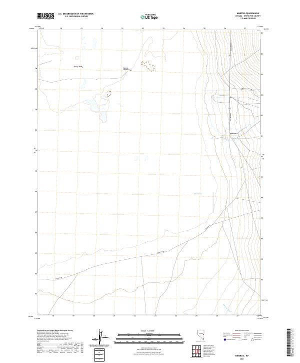 2021 Minerva2021 Print · USGSIn the Great Basin's eastern reaches during the early 2020s, this area showcases the isolated settlement of Minerva against the vast Spring Valley. Researchers can trace old desert routes like Shoshone Rd and locate vital water points like Blind Spring.
End of results
Showing maps 1-10 of 10
Frequently asked questions
- What are the different types of historical maps available for Shoshone?
- What is the oldest map of Shoshone?
- Where can I purchase historical maps of Shoshone for my home or office?
- Where can I download high-res historical maps of Shoshone?
- Are there historical topographic maps available for Shoshone?
- Is there historical aerial imagery available for Shoshone?
- Where are historical maps of Shoshone sourced from?