Old Maps of Willow Grove, Nevada for Genealogy
Trace your family roots with 11 historic maps of Willow Grove. These high-res maps reveal old neighborhoods, homesites, landmarks, and streets — helping you uncover where your ancestors lived and how the area evolved over time.
- Explore historic neighborhoods: Identify where your relatives may have lived in the 1800s or 1900s.
- Compare maps over time: Trace the changes in streets, buildings, and landmarks for multi-generational research.
- Perfect for genealogy & ancestry research: Used by family historians and researchers to map out lineage and migration.
These maps are an incredible resource for exploring your personal connection to Willow Grove's past.
Willow Grove, NV maps
(11)- 1949 Map of Treasure Hill, 1960 Print
 1949 Treasure Hill1960 Print · USGSMining operations and remote desert outposts define the White Pine landscape in the late 1940s. Genealogists and historians can trace the legacy of the silver boom through sites like Eberhardt, the Hidden Treasure Mine, and Ellison Ranger Station.2 unique versions available
 - 1950 Map of Treasure Hill
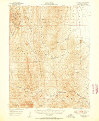 1950 Treasure Hill1950 Print · USGSThe White Pine mining district is captured here at mid-century, revealing the legacy of Nevada's silver boom. Genealogists and historians can trace the foundations of Eberhardt (Site), the Treasure Cem, and various tunnels like the Icehouse Tunnel.2 unique versions available
 - 1956 Map of Ely, 1968 Print
 1956 Ely1968 Print · USGSEastern Nevada in the mid-fifties is a land of massive mountain ranges and silver-boom history. Trace the legacy of mining ruins at Hamilton and Treasure City or follow the path of the Nevada Northern RR through Ely.5 unique versions available
 - 1959 Map of Ely
 1959 Ely1959 Print · USGSEastern Nevada's high desert reveals its mining heart and pioneer ranching outposts during the late fifties. Genealogists and historians can trace family-named outposts like Goicoechea Ranch or explore the ruins of former silver-mining hubs like Hamilton and Treasure City.2 unique versions available
 - 1963 Map of Ely
 1963 Ely1963 Print · USGSEastern Nevada's high basins and mountain ranges are captured here in the early sixties, showing a landscape defined by mining and ranching. Trace family roots at the Thompson Ranch or follow the Nevada Northern Railroad through Steptoe Valley.
 - 1979 Map of Mt. Hamilton
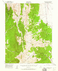
 1979 Mt. Hamilton1979 Print · USGSWhite Pine County's high-desert mining and ranching corridors are captured in the late 1970s, from the basins of Newark Valley to the Egan Range. Researchers can trace the legacies of the silver boom at Hamilton and locate operations like the Treasure Hill Mine or the Belmont Mill.2 unique versions available
 - 1990 Map of Willow Grove
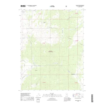
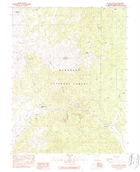 1990 Willow Grove1990 Print · USGSWhite Pine County's high desert peaks and forest lands are documented here in the late twentieth century. Researchers can trace forest management and water sources through the Ellison Ranger Station, Willow Grove, and numerous mountain springs like Mustang Spring.
 - 2012 Map of Willow Grove, 2012 Print
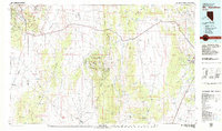
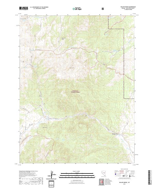
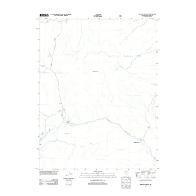 2012 Willow Grove2012 Print · USGSCovers Willow Grove, including White Pine County, United States, and other nearby areas
 - 2014 Map of Willow Grove, 2014 Print
 2014 Willow Grove2014 Print · USGSCovers Willow Grove, including White Pine County, United States, and other nearby areas
 - 2018 Map of Willow Grove, 2018 Print
 2018 Willow Grove2018 Print · USGSCovers Willow Grove, including White Pine County, United States, and other nearby areas
 - 2021 Map of Willow Grove, 2021 Print
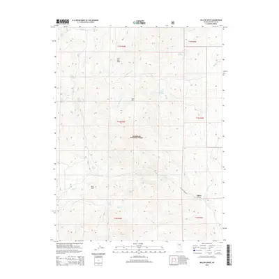
 2021 Willow Grove2021 Print · USGSWhite Pine County's high-country terrain is captured here in the early twenty-first century as it appeared within the Humboldt National Forest. Researchers can trace old trails and water sources from Willow Grove to landmarks like Deadman Reservoir and Bald Mtn.
End of results
Showing maps 1-11 of 11
Top cities near Willow Grove
Frequently asked questions
- What are the different types of historical maps available for Willow Grove?
- What is the oldest map of Willow Grove?
- Where can I purchase historical maps of Willow Grove for my home or office?
- Where can I download high-res historical maps of Willow Grove?
- Are there historical topographic maps available for Willow Grove?
- Is there historical aerial imagery available for Willow Grove?
- Where are historical maps of Willow Grove sourced from?