2010s Maps of Effingham, New Hampshire
Explore 18 historic maps of Effingham from the 2010s. These maps offer a rare glimpse into what life looked like during the 2010s — showing old roads, neighborhoods, homes, and landmarks that have changed or disappeared over time.
Whether you're researching your family's past, planning a metal detecting trip, or studying how Effingham's landscape evolved across the 2010s, these high-resolution maps are a powerful tool for exploring the history of this region.
- Focus on a specific era: All maps on this page are from the 2010s, giving you a focused view of this time period.
- See what’s changed: Compare century-old streets, trails, and buildings to today's modern landscape using overlays and satellite layers.
- Research with precision: Use these maps for genealogy, historical research, land use analysis, or educational projects.
- View, download, or print: Maps are fully viewable online in high resolution, and can be downloaded or printed for your own records.
Start exploring Effingham's history through authentic maps from the 2010s. This is your window into the past.
Effingham, NH maps
(18)- 2011 Map of Kezar Falls, 2011 Print
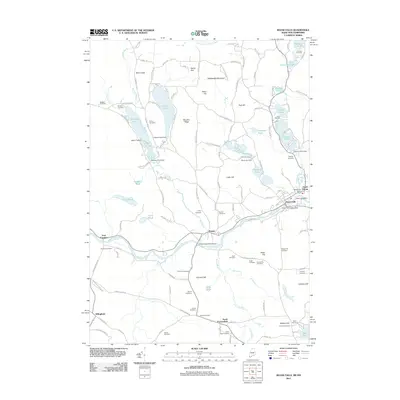 2011 Kezar Falls2011 Print · USGSThe Ossipee River valley and the hills of York County come into focus during the early twenty-first century. Genealogists can trace family lineages through more than a dozen burial sites like Huntress Cemetery and Collomy Cemetery, or locate landmarks such as the Kezar Falls Dam.
 - 2011 Map of West Newfield, 2011 Print
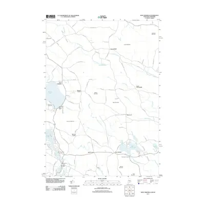 2011 West Newfield2011 Print · USGSThe Maine and New Hampshire borderlands come into focus in this 2011 survey of rural crossroads and lakes. Genealogists and historians can locate family landmarks like the Reed Cemetery or trace old routes through Parsonsfield, Mee Corners, and South Effingham.
 - 2012 Map of Tuftonboro, 2012 Print
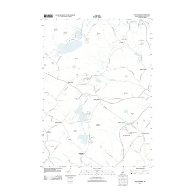 2012 Tuftonboro2012 Print · USGSCarroll County’s rural interior is documented here in the early twenty-first century, showing a landscape of upland peaks and valley settlements. Genealogists can trace family roots through hubs like Water Village, Federal Corner, and the Carroll County Farm.
 - 2012 Map of Freedom, 2012 Print
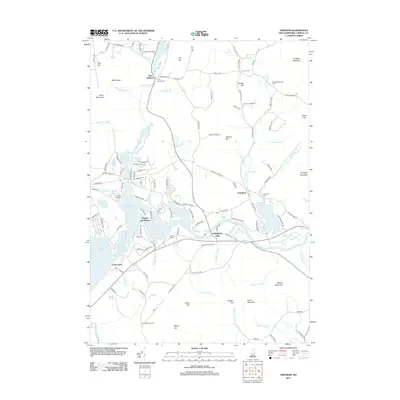 2012 Freedom2012 Print · USGSThe villages and summer camps of eastern Carroll County are captured here in the early twenty-first century. Researchers can trace family history at the Davis Meetinghouse or locate specific lakeside properties near Ossipee Lake Shores and Freedom.
 - 2012 Map of Ossipee Lake, 2012 Print
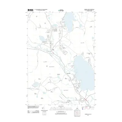 2012 Ossipee Lake2012 Print · USGSThe Carroll County lakes region comes into focus during the early twenty-first century, showing a landscape shaped by the Ossipee Lake basin. Researchers can trace the layout of West Ossipee, locate the Whittier Bridge, and find historic camps like Camp Calumet.
 - 2012 Map of Ossipee, 2012 Print
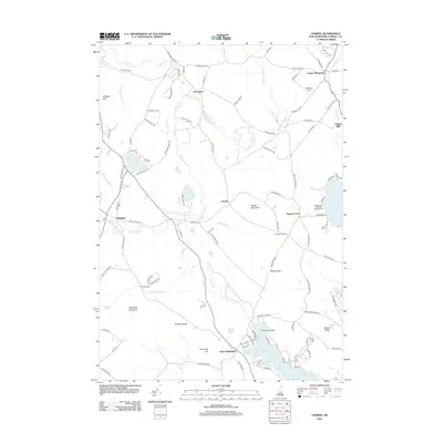 2012 Ossipee2012 Print · USGSThe Carroll County lake district is captured here in the early twenty-first century, showing the established communities of Ossipee and North Wakefield. Genealogists and locals can trace family-named landmarks like Ballard Ridge or find old centers at Chases Mill and Leighton Corners.
 - 2014 Map of Kezar Falls, 2014 Print
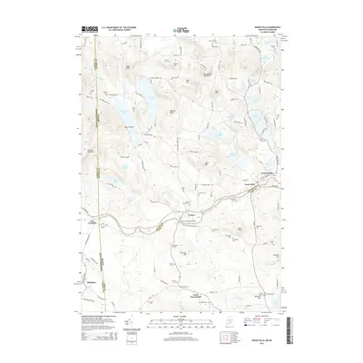 2014 Kezar Falls2014 Print · USGSThe Ossipee River valley and the borderlands of Maine and New Hampshire appear here in a period of quiet rural continuity. Genealogists can locate dozens of family burial sites like Churchill Cem and Merrill Cem, or trace the crossing at the Porter-Parsonsfield Bridge.
 - 2014 Map of West Newfield, 2014 Print
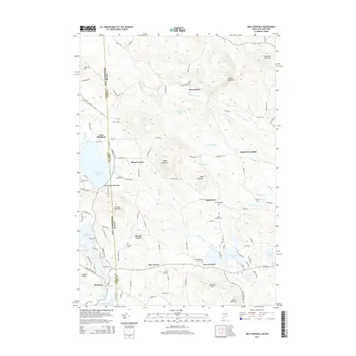 2014 West Newfield2014 Print · USGSThe Maine and New Hampshire borderlands come into focus in this recent survey of rural settlements and family homesteads. Genealogists can trace historic burial sites like Libby Cem and Carleton Ham Cem across the hills of Parsonsfield.
 - 2015 Map of Freedom, 2015 Print
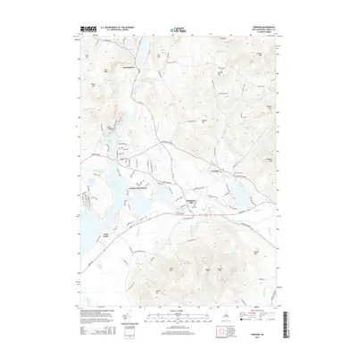 2015 Freedom2015 Print · USGSThe Ossipee Lake region in the mid-2010s shows a landscape where historic villages meet lakeside development. Trace the local topography from Freedom to Effingham Falls, including landmarks like Lakeview Cem and the heights of Green Mtn.
 - 2015 Map of Ossipee Lake, 2015 Print
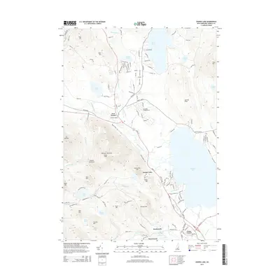 2015 Ossipee Lake2015 Print · USGSThe eastern edges of the White Mountains meet the expansive waters of Ossipee Lake in this 2015 survey. Researchers can trace the development of lakeside communities like Center Ossipee and West Ossipee or locate landmarks like Whittier Bridge and Windsock Village Airport.
 - 2015 Map of Tuftonboro, 2015 Print
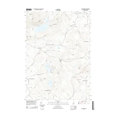 2015 Tuftonboro2015 Print · USGSTucked against the southeastern edge of the Ossipee Mountains, this area near the turn of the 21st century remains a network of traditional New England hamlets and mountain ponds. Genealogists and historians can trace family locations through well-preserved junctions like Stockbridge Corner, Pollys Crossing, and Water Village.
 - 2015 Map of Ossipee, 2015 Print
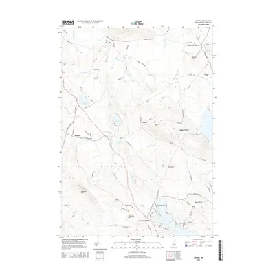 2015 Ossipee2015 Print · USGSCarroll County comes into focus in this mid-2010s survey of the lake-strewn foothills of eastern New Hampshire. Genealogists and local historians can trace family land and rural crossroads from Center Effingham to Chases Mill and the shores of Pine River Pond.
 - 2018 Map of Ossipee Lake, 2018 Print
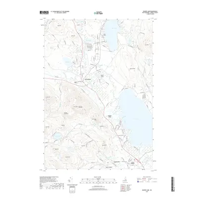 2018 Ossipee Lake2018 Print · USGSThe Ossipee Lake region in the late 2010s shows a classic New Hampshire balance between village life and mountain wilderness. Researchers can trace the legacy of local travel and industry from the Whittier Covered Bridge to Windsock Village Airport and the streets of Center Ossipee.
 - 2018 Map of Freedom, 2018 Print
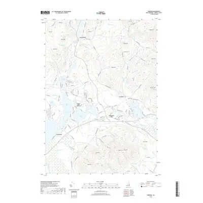 2018 Freedom2018 Print · USGSThe Ossipee Lake region is captured here in the late 2010s, showing the intricate shoreline and surrounding peaks of Carroll County. Genealogists and historians can locate established sites like Lakeview Cem, the village of Freedom, and the shores of Broad Bay.
 - 2018 Map of Kezar Falls, 2018 Print
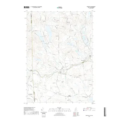 2018 Kezar Falls2018 Print · USGSThe Maine and New Hampshire borderlands are defined by the Ossipee River and its riverside villages during this era. Researchers can trace ancestral roots through numerous burial sites like Porter Village Cem and Huntress Cem, or locate landmarks such as the Porter-Parsonsfield Bridge.
 - 2018 Map of West Newfield, 2018 Print
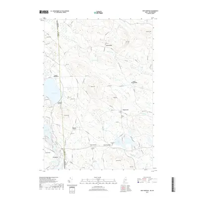 2018 West Newfield2018 Print · USGSThe Maine and New Hampshire borderlands are captured here in 2018, showing the rural communities of West Newfield and Parsonsfield. Genealogists can locate family burial sites like Tuck Family Cem and the Congregational Church.
 - 2018 Map of Ossipee, 2018 Print
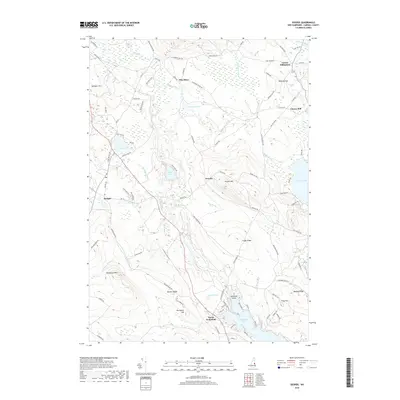 2018 Ossipee2018 Print · USGSEastern Carroll County is documented here during the late 2010s, showcasing the region's complex network of rivers and ponds. Researchers can trace family-named landmarks and old settlements like Center Effingham, Chases Mill, and North Wakefield.
 - 2018 Map of Tuftonboro, 2018 Print
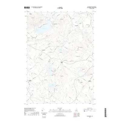 2018 Tuftonboro2018 Print · USGSThe southern Ossipee Mountains and the rural settlements of Carroll County are shown here in the late twenty-teens. Genealogists and hikers can trace the terrain between Water Village and Roland Park, or locate landmarks like Chickville Airport and Lower Beech Pond.
End of results
Showing maps 1-18 of 18
Top cities near Effingham
- Bridgton historical maps
- Wakefield historical maps
- Moultonborough historical maps
- Milton historical maps
- Ossipee historical maps
- Conway historical maps
See more
Top neighborhoods of Effingham
- Grape Corner historical maps
- Pine River historical maps
- Chases Mill historical maps
- Effingham Falls historical maps
- Center Effingham historical maps
- South Effingham historical maps
Frequently asked questions
- What are the different types of historical maps available for Effingham?
- What is the oldest map of Effingham?
- Where can I purchase historical maps of Effingham for my home or office?
- Where can I download high-res historical maps of Effingham?
- Are there historical topographic maps available for Effingham?
- Is there historical aerial imagery available for Effingham?
- Where are historical maps of Effingham sourced from?