2020s Maps of Tuftonboro, New Hampshire
Explore 12 historic maps of Tuftonboro from the 2020s. These maps offer a rare glimpse into what life looked like during the 2020s — showing old roads, neighborhoods, homes, and landmarks that have changed or disappeared over time.
Whether you're researching your family's past, planning a metal detecting trip, or studying how Tuftonboro's landscape evolved across the 2020s, these high-resolution maps are a powerful tool for exploring the history of this region.
- Focus on a specific era: All maps on this page are from the 2020s, giving you a focused view of this time period.
- See what’s changed: Compare century-old streets, trails, and buildings to today's modern landscape using overlays and satellite layers.
- Research with precision: Use these maps for genealogy, historical research, land use analysis, or educational projects.
- View, download, or print: Maps are fully viewable online in high resolution, and can be downloaded or printed for your own records.
Start exploring Tuftonboro's history through authentic maps from the 2020s. This is your window into the past.
Tuftonboro, NH maps
(12)- 2021 Map of West Alton, 2021 Print
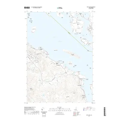 2021 West Alton2021 Print · USGSCovers Tuftonboro, including Gilford, Gilmanton, and other nearby areas
 - 2021 Map of Melvin Village, 2021 Print
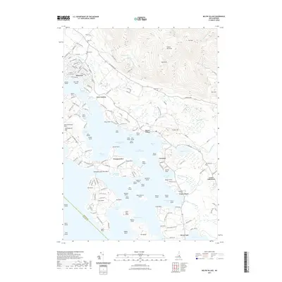 2021 Melvin Village2021 Print · USGSCovers Tuftonboro, including Gilford, Moultonborough, and other nearby areas
 - 2021 Map of Ossipee Lake, 2021 Print
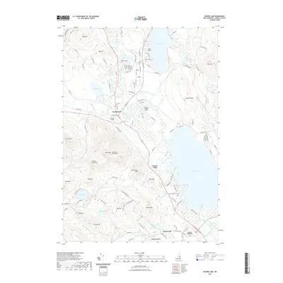 2021 Ossipee Lake2021 Print · USGSCovers Tuftonboro, including Moultonborough, Ossipee, and other nearby areas
 - 2021 Map of Wolfeboro, 2021 Print
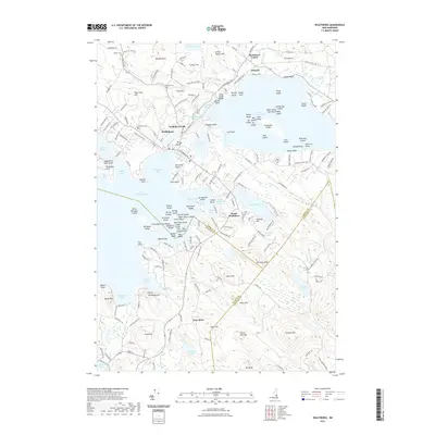 2021 Wolfeboro2021 Print · USGSCovers Tuftonboro, including Wolfeboro, New Durham, and other nearby areas
 - 2021 Map of Tuftonboro, 2021 Print
 2021 Tuftonboro2021 Print · USGSCovers Tuftonboro, including Ossipee, Wolfeboro, and other nearby areas
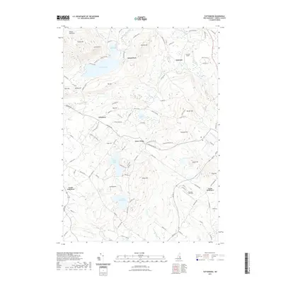
 - 2021 Map of Tamworth, 2021 Print
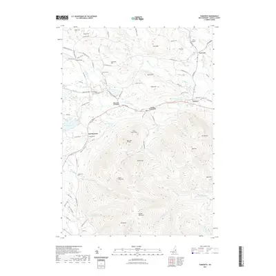 2021 Tamworth2021 Print · USGSCovers Tuftonboro, including Moultonborough, Ossipee, and other nearby areas
 - 2024 Map of Tamworth, 2024 Print
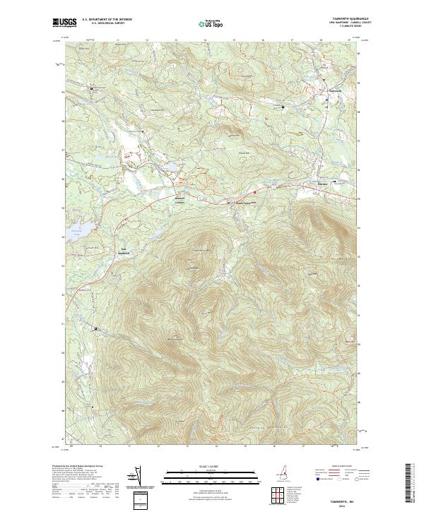 2024 Tamworth2024 Print · USGSThe foothills of the New Hampshire White Mountains meet the lowlands of the Bearcamp River valley in this recent 2024 survey. Family historians can trace local landmarks from Ordination Rock Cem to the rural crossroads of Bennett Corners and East Sandwich.
 - 2024 Map of Tuftonboro, 2024 Print
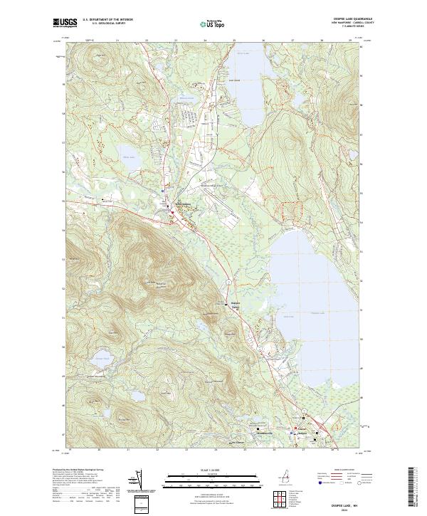
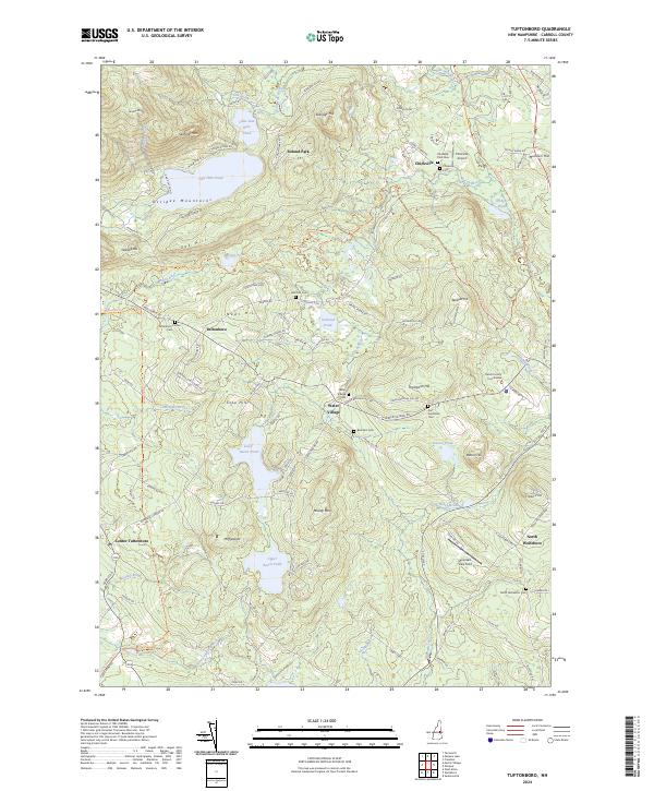 2024 Tuftonboro2024 Print · USGSTuftonboro and the surrounding New Hampshire highlands are captured here in the early twenty-first century, showing a landscape defined by the Ossipee Mountains. Researchers can trace local heritage through sites like the Carroll County Courthouse and several family burial grounds, including the Pray-Goldsmith Cem and Bickford Cem.
 - 2024 Map of Ossipee Lake, 2024 Print
 2024 Ossipee Lake2024 Print · USGSThe Lakes Region of New Hampshire is captured here in 2024, showing the established communities and shoreline developments near Ossipee Lake. Researchers can locate numerous local burial sites like Ham Cem and trace the path of the Inactive RR Trl through West Ossipee.
 - 2024 Map of West Alton, 2024 Print
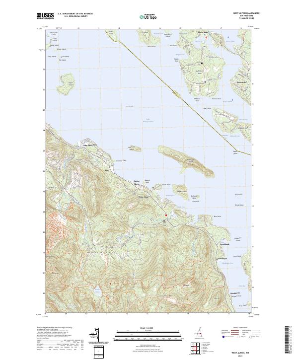 2024 West Alton2024 Print · USGSThe western shores of Lake Winnipesaukee come into focus in this contemporary study of New Hampshire's lake district. Genealogists and historians can locate family burial plots at Thomas Graveyard and West Alton Cem or trace the peaks of Mount Major.
 - 2024 Map of Wolfeboro, 2024 Print
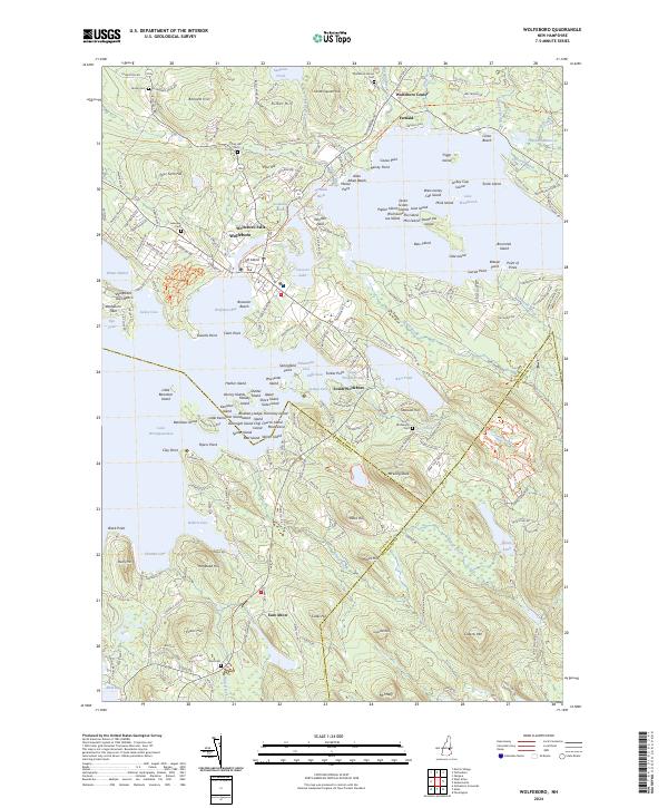 2024 Wolfeboro2024 Print · USGSThe eastern shores of Lake Winnipesaukee come into focus in this recent survey of the Carroll County waterfront. Genealogists and local historians can trace legacy burial sites like Pine Hill Cem or follow the path of the Inactive RR Trl past Fernald.
 - 2024 Map of Melvin Village, 2024 Print
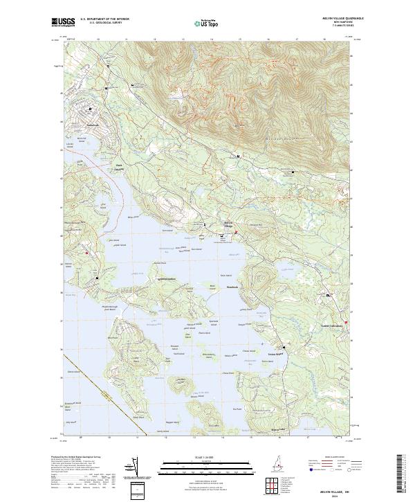 2024 Melvin Village2024 Print · USGSThe northern reaches of Lake Winnipesaukee come into focus during this contemporary survey of the New Hampshire lakes region. Genealogists can locate several family burial sites including Ambrose Cem and Edgerly Cem, alongside historic points like Union Wharf.
End of results
Showing maps 1-12 of 12
Top cities near Tuftonboro
- Laconia historical maps
- Gilford historical maps
- Belmont historical maps
- Wakefield historical maps
- Northfield historical maps
- Moultonborough historical maps
See more
Top neighborhoods of Tuftonboro
- Federal Corner historical maps
- Haley Point historical maps
- Hersey Point historical maps
- Melvin Village historical maps
- Millstone Point historical maps
- Mirror Lake historical maps
See more
Frequently asked questions
- What are the different types of historical maps available for Tuftonboro?
- What is the oldest map of Tuftonboro?
- Where can I purchase historical maps of Tuftonboro for my home or office?
- Where can I download high-res historical maps of Tuftonboro?
- Are there historical topographic maps available for Tuftonboro?
- Is there historical aerial imagery available for Tuftonboro?
- Where are historical maps of Tuftonboro sourced from?