2020s Maps of Stoddard, New Hampshire
Explore 8 historic maps of Stoddard from the 2020s. These maps offer a rare glimpse into what life looked like during the 2020s — showing old roads, neighborhoods, homes, and landmarks that have changed or disappeared over time.
Whether you're researching your family's past, planning a metal detecting trip, or studying how Stoddard's landscape evolved across the 2020s, these high-resolution maps are a powerful tool for exploring the history of this region.
- Focus on a specific era: All maps on this page are from the 2020s, giving you a focused view of this time period.
- See what’s changed: Compare century-old streets, trails, and buildings to today's modern landscape using overlays and satellite layers.
- Research with precision: Use these maps for genealogy, historical research, land use analysis, or educational projects.
- View, download, or print: Maps are fully viewable online in high resolution, and can be downloaded or printed for your own records.
Start exploring Stoddard's history through authentic maps from the 2020s. This is your window into the past.
Stoddard, NH maps
(8)- 2021 Map of Marlow, 2021 Print
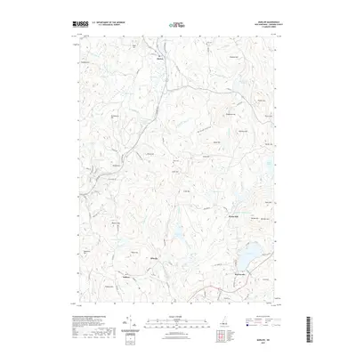 2021 Marlow2021 Print · USGSCovers Stoddard, including Keene, Alstead, and other nearby areas
 - 2021 Map of Stoddard, 2021 Print
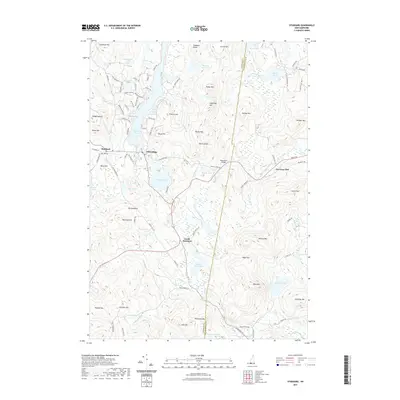 2021 Stoddard2021 Print · USGSCovers Stoddard, including Antrim, Hillsborough, and other nearby areas
 - 2021 Map of Washington, 2021 Print
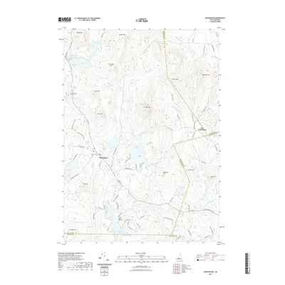 2021 Washington2021 Print · USGSCovers Stoddard, including Hillsborough, Washington, and other nearby areas
 - 2021 Map of East Lempster, 2021 Print
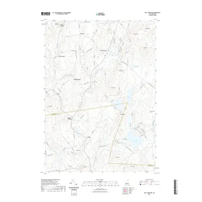 2021 East Lempster2021 Print · USGSCovers Stoddard, including Washington, Lempster, and other nearby areas
 - 2024 Map of Stoddard, 2024 Print
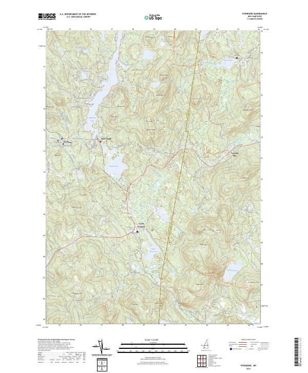 2024 Stoddard2024 Print · USGSThe upland terrain of Cheshire County is documented here in the early twenty-first century, showing a region defined by its water-powered past and high ridges. Researchers can locate family burial sites at Dow Hill Cem and Robb Cem or trace old mill sites near Loverens Mill.
 - 2024 Map of East Lempster, 2024 Print
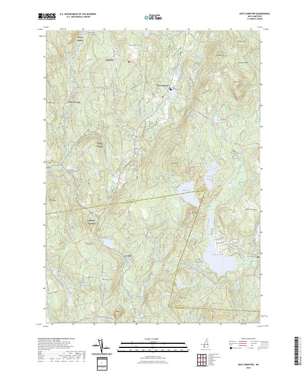 2024 East Lempster2024 Print · USGSSullivan and Cheshire counties meet in this upland region during the 2020s, showing a landscape of high peaks and historic hollows. Genealogists and hikers can locate the East Lempster Cem, the old crossroads at Marlow Junction, and the waters of Ashuelot Pond.
 - 2024 Map of Marlow, 2024 Print
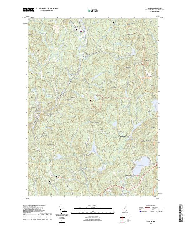 2024 Marlow2024 Print · USGSCheshire County, New Hampshire, is shown here in the contemporary era as a landscape of river-fed villages and upland trails. Genealogists can trace family roots through several local burial sites, including Marlow Village Cemetery, Munsonville Cemetery, and Joslin Cemetery.
 - 2024 Map of Washington, 2024 Print
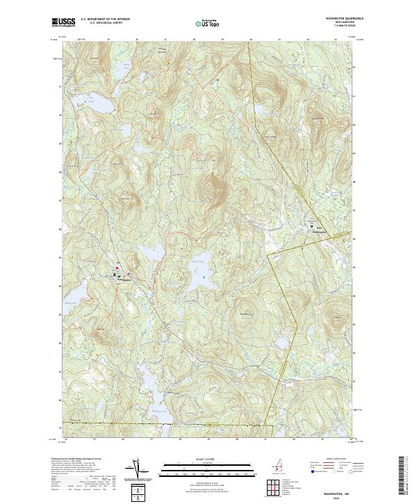 2024 Washington2024 Print · USGSThe hills of Sullivan County are mapped here in the modern era, showing a landscape defined by granite peaks and a high density of glacial ponds. Genealogists can trace family plots at Old Center Cem or East Washington Cem, while hikers can follow the Monadnock-Sunapee Greenway Trl past Island Pond.
End of results
Showing maps 1-8 of 8
Top cities near Stoddard
- Keene historical maps
- Swanzey historical maps
- Peterborough historical maps
- Winchester historical maps
- Henniker historical maps
- Jaffrey historical maps
See more
Top neighborhoods of Stoddard
- Woods Mill historical maps
- Leominster Corner historical maps
- Mill Village historical maps
- South Stoddard historical maps
Frequently asked questions
- What are the different types of historical maps available for Stoddard?
- What is the oldest map of Stoddard?
- Where can I purchase historical maps of Stoddard for my home or office?
- Where can I download high-res historical maps of Stoddard?
- Are there historical topographic maps available for Stoddard?
- Is there historical aerial imagery available for Stoddard?
- Where are historical maps of Stoddard sourced from?