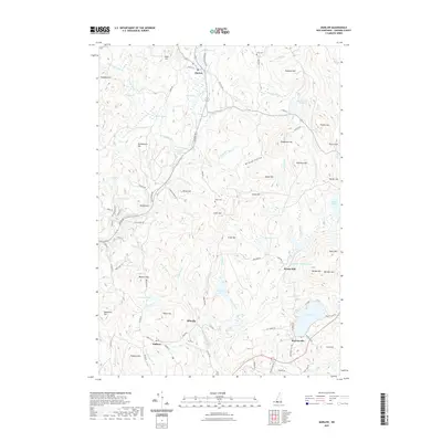
2021 Map of Marlow
USGS Topo · Published 2021About this map
Marlow sits at a geographic crossroads in Cheshire County, where the Ashuelot River flows near the northern boundary. This upland landscape is defined by its water systems and scattered 19th-century settlements, including Sullivan, Munsonville, and Ellisville. The map captures a high-elevation terrain where numerous ponds like Gould Pond and Bolster Pond drain through brooks into the larger river valleys.
Find a feature on this map
98 named features on this map. Tap any name to fly to it.
Don’t see what you’re looking for? This feature index may not catch every label — zoom into the map to look around manually.
Map Details
Editions of this 2021 Marlow Map
This is the sole edition of this map. No revisions or reprints were ever made.
Other maps of this area

1898 · Monadnock
USGS Topo · 1:62,500

1898 · Keene
USGS Topo · 1:62,500

1927 · Bellows Falls
USGS Topo · 1:48,000

1930 · Lovewell Mountain
USGS Topo · 1:62,500

1930 · Bellows Falls
USGS Topo · 1:62,500

1932 · Keene
USGS Topo · 1:62,500
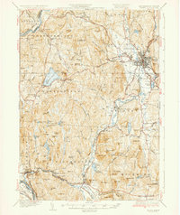
1935 · Keene
USGS Topo · 1:62,500

1936 · Monadnock
USGS Topo · 1:62,500

1942 · Keene
USGS Topo · 1:125,000

1942 · Lovewell Mountain
USGS Topo · 1:62,500