
1930 Map of Lovewell Mountain
USGS Topo · Published 1930About this map
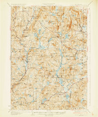
Lempster and Washington anchor this 1930 study of the southwestern New Hampshire highlands, an area defined by its intricate network of ponds and steep ridge lines. The Dartmouth College Highway serves as the primary corridor through the western valley, passing through Marlow and Marlow Junction while the Ashuelot River winds southward. The landscape reflects an era of early recreational development alongside traditional upland agriculture, evidenced by the presence of the YMCA Camp on Millen Lake and Windsor Mtn Camp near Black Pond.
Find a feature on this map
195 named features on this map. Tap any name to fly to it.
Don’t see what you’re looking for? This feature index may not catch every label — zoom into the map to look around manually.
Map Details
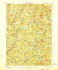
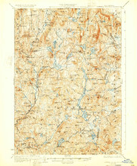
Editions of this 1930 Lovewell Mountain Map
4 editions found
Other maps of this area

1898 · Monadnock
USGS Topo · 1:62,500

1898 · Keene
USGS Topo · 1:62,500

1900 · Peterboro
USGS Topo · 1:62,500

1902 · Sunapee
USGS Topo · 1:62,500

1905 · Sunapee
USGS Topo · 1:62,500

1907 · Sunapee
USGS Topo · 1:62,500

1926 · Hillsboro
USGS Topo · 1:62,500

1926 · Claremont
USGS Topo · 1:62,500

1927 · Bellows Falls
USGS Topo · 1:48,000

1928 · Mount Kearsarge
USGS Topo · 1:62,500