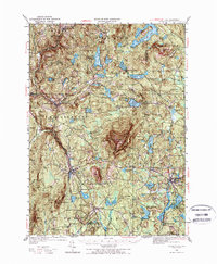
1949 Map of Monadnock
USGS Topo · Published 1973About this map
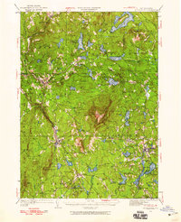
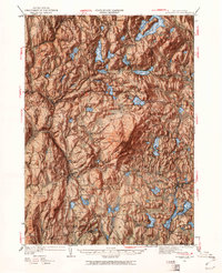
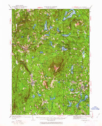
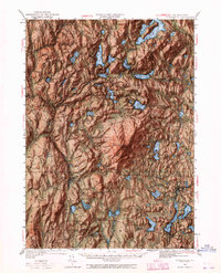
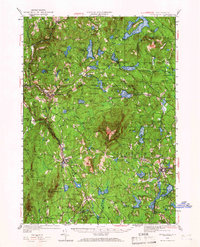
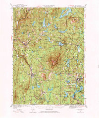
Monadnock Mtn dominates this mid-century New Hampshire landscape, a prominent landmark surrounded by a network of upland villages and glacial ponds. Compiled in part from Army Air Corps photographs and revised just after the war, the map documents the traditional settlement patterns of Cheshire County. Large bodies of water like Nubanusit Lake and Silver Lake are central features, while the Contoocook River drains the southeastern reaches of the quadrangle. Small railway-oriented hubs and industrial nodes are evident at Fitzwilliam Depot and Harrisville, contrasting with the more dispersed residential clusters at Bonds Corner and Beechwood Corners. The terrain is characterized by numerous named peaks including Gap Mtn and Little Monadnock Mtn, reflecting the area's transition from a hardscrabble agricultural past toward a recreational and scenic character. Cultural details include the distinct village centers of Jaffrey Center, Nelson, and Troy, showing the density of New England town life before modern suburbanization.
Find a feature on this map
58 named features on this map. Tap any name to fly to it.
Don’t see what you’re looking for? This feature index may not catch every label — zoom into the map to look around manually.
Map Details
Editions of this 1949 Monadnock Map
10 editions found
Other maps of this area

1887 · Warwick
USGS Topo · 1:62,500

1887 · Winchendon
USGS Topo · 1:62,500

1887 · Fitchburg
USGS Topo · 1:62,500

1889 · Fitchburg
USGS Topo · 1:62,500

1889 · Warwick
USGS Topo · 1:62,500

1890 · Winchendon
USGS Topo · 1:62,500

1893 · Fitchburg
USGS Topo · 1:62,500

1894 · Winchendon
USGS Topo · 1:62,500

1894 · Warwick
USGS Topo · 1:62,500

1898 · Monadnock
USGS Topo · 1:62,500