
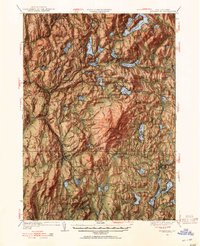
1949 Map of Monadnock
USGS Topo · Published 1949About this map
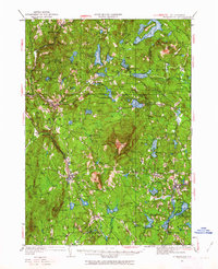
Monadnock Mtn dominates the center of this landscape, its slopes crisscrossed by a network of footpaths including the Pumpelly Trail, White Dot Trail, and Marlboro Trail. This 1949 revision of a 1932 survey captures the region as a hub of early 20th-century New England recreation and transit. The Boston and Maine railroad snakes through the valleys, connecting industrial and residential centers like Troy, Fitzwilliam, and Marlborough.
Find a feature on this map
136 named features on this map. Tap any name to fly to it.
Don’t see what you’re looking for? This feature index may not catch every label — zoom into the map to look around manually.
Map Details
Editions of this 1949 Monadnock Map
10 editions found

Other maps of this area

1887 · Warwick
USGS Topo · 1:62,500

1887 · Winchendon
USGS Topo · 1:62,500

1887 · Fitchburg
USGS Topo · 1:62,500

1889 · Fitchburg
USGS Topo · 1:62,500

1889 · Warwick
USGS Topo · 1:62,500

1890 · Winchendon
USGS Topo · 1:62,500

1893 · Fitchburg
USGS Topo · 1:62,500

1894 · Winchendon
USGS Topo · 1:62,500

1894 · Warwick
USGS Topo · 1:62,500

1898 · Monadnock
USGS Topo · 1:62,500