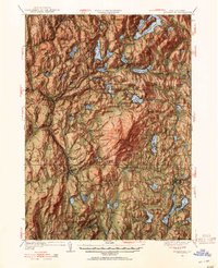
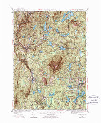
1949 Map of Monadnock
USGS Topo · Published 1955About this map
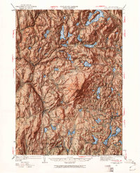
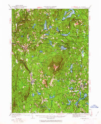
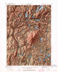
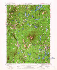
Monadnock MTN dominates the central landscape of this survey, surrounded by a complex network of recreational paths including the Pumpelly Trail and White Dot Trail. The topography is marked by the presence of landmarks like the Halfway House and a Fire Lookout, reflecting the area's mid-century role as a prominent destination for hiking and outdoor leisure. Settlements such as Harrisville, Dublin, and Jaffrey are connected by the winding routes of the Boston and Maine railroad, which threads through the valleys between numerous summits like Skatutakee Mtn and Mt Huggins.
Find a feature on this map
112 named features on this map. Tap any name to fly to it.
Don’t see what you’re looking for? This feature index may not catch every label — zoom into the map to look around manually.
Map Details
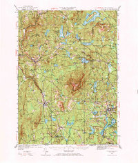
Editions of this 1949 Monadnock Map
10 editions found
Other maps of this area

1887 · Warwick
USGS Topo · 1:62,500

1887 · Winchendon
USGS Topo · 1:62,500

1887 · Fitchburg
USGS Topo · 1:62,500

1889 · Fitchburg
USGS Topo · 1:62,500

1889 · Warwick
USGS Topo · 1:62,500

1890 · Winchendon
USGS Topo · 1:62,500

1893 · Fitchburg
USGS Topo · 1:62,500

1894 · Winchendon
USGS Topo · 1:62,500

1894 · Warwick
USGS Topo · 1:62,500

1898 · Monadnock
USGS Topo · 1:62,500