
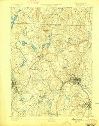
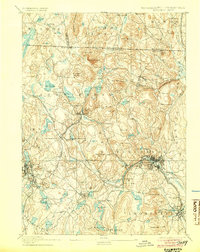
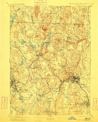
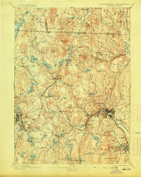
1893 Map of Fitchburg
USGS Topo · Published 1893About this map
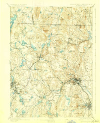
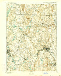
Industrial hubs and transit corridors define the landscape of northern Worcester County in the late nineteenth century. Fitchburg sits as the primary center of activity, its urban grid tightly packed along the banks of the Nashua River and shadowed by Rollstone Hill. The map captures a sophisticated rail network in its prime, showing how the Cheshire Railroad, Fitchburg Railroad, and Old Colony Railroad intersected to move goods and people through rugged Massachusetts terrain.
Find a feature on this map
135 named features on this map. Tap any name to fly to it.
Don’t see what you’re looking for? This feature index may not catch every label — zoom into the map to look around manually.
Map Details
Editions of this 1893 Fitchburg Map
7 editions found
Other maps of this area

1885 · Worcester
USGS Topo · 1:62,500

1886 · Worcester
USGS Topo · 1:62,500

1887 · Winchendon
USGS Topo · 1:62,500

1887 · Marlboro
USGS Topo · 1:62,500

1887 · Barre
USGS Topo · 1:62,500

1887 · Fitchburg
USGS Topo · 1:62,500

1889 · Marlboro
USGS Topo · 1:62,500

1889 · Fitchburg
USGS Topo · 1:62,500

1889 · Barre
USGS Topo · 1:62,500

1890 · Winchendon
USGS Topo · 1:62,500