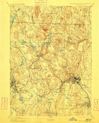
1893 Map of Fitchburg
USGS Topo · Published 1909About this map
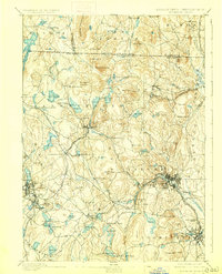
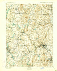
The industrial and transit hubs of North-Central Massachusetts and Southern New Hampshire are captured here as they stood in the late nineteenth century. A complex rail network, including the Fitchburg Railroad and the Cheshire Railroad, converges at critical junctions like Ashburnham Junction, reflecting the region's importance as a nineteenth-century manufacturing corridor. The city of Fitchburg dominates the Nashua River valley, surrounded by smaller industrial and residential satellites such as South Fitchburg and West Fitchburg.
Find a feature on this map
130 named features on this map. Tap any name to fly to it.
Don’t see what you’re looking for? This feature index may not catch every label — zoom into the map to look around manually.
Map Details
Editions of this 1893 Fitchburg Map
7 editions found

Other maps of this area

1885 · Worcester
USGS Topo · 1:62,500

1886 · Worcester
USGS Topo · 1:62,500

1887 · Winchendon
USGS Topo · 1:62,500

1887 · Marlboro
USGS Topo · 1:62,500

1887 · Barre
USGS Topo · 1:62,500

1887 · Fitchburg
USGS Topo · 1:62,500

1889 · Marlboro
USGS Topo · 1:62,500

1889 · Fitchburg
USGS Topo · 1:62,500

1889 · Barre
USGS Topo · 1:62,500

1890 · Winchendon
USGS Topo · 1:62,500