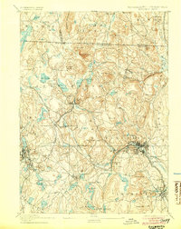
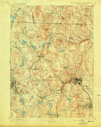
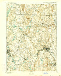
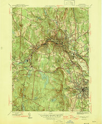
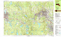
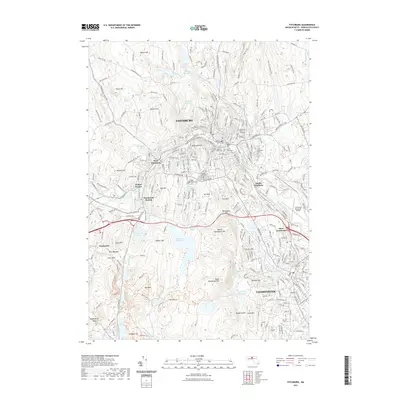
1893 Map of Fitchburg
USGS Topo · Published 1904About this map
Industrial nodes and railroad junctions define this northern Massachusetts and southern New Hampshire landscape at the end of the 19th century. Fitchburg serves as the primary hub, where the Fitchburg Railroad and the Old Colony Railroad Fitchburg Branch converge near the Nashua River. This transportation network supported a dense series of mill towns and villages, including Leominster, Gardner, and Ashburnham. The intricate topography is marked by several significant peaks, such as Watatic Mountain and Barrett Mountain, which overlook numerous reservoirs and ponds that provided critical water power for local industry.
Find a feature on this map
115 named features on this map. Tap any name to fly to it.
Don’t see what you’re looking for? This feature index may not catch every label — zoom into the map to look around manually.
Map Details
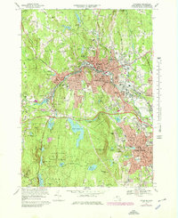
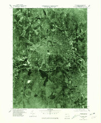
Editions of this 1893 Fitchburg Map
7 editions found

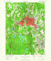
Historical Maps of Leominster Through Time
18 maps found

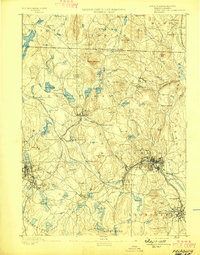
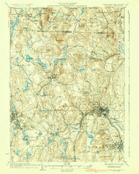
1887 Fitchburg
Worcester County, MA

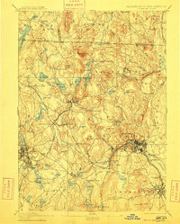
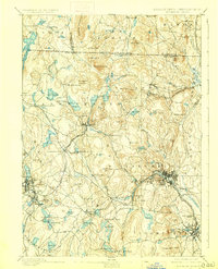
1889 Fitchburg
Worcester County, MA
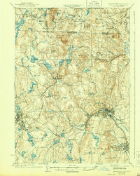
1893 Fitchburg
Worcester County, MA

1931 Fitchburg
Worcester County, MA
1935 Fitchburg
Worcester County, MA
1936 Fitchburg
Worcester County, MA

1943 Fitchburg
Worcester County, MA
1946 Fitchburg
Worcester County, MA

1953 Fitchburg
Worcester County, MA
1954 Fitchburg
Worcester County, MA
1969 Fitchburg
Worcester County, MA
1975 Fitchburg
Worcester County, MA
1988 Fitchburg
Worcester County, MA
2012 Fitchburg
Worcester County, MA
2015 Fitchburg
Worcester County, MA
2018 Fitchburg
Worcester County, MA
2021 Fitchburg
Worcester County, MA
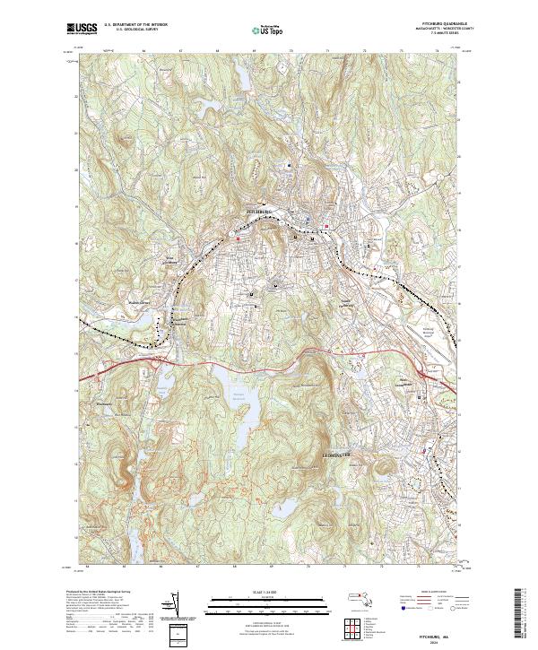
2024 Fitchburg
Worcester County, MA