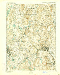
1893 Map of Fitchburg
USGS Topo · Published 1927About this map
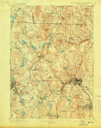
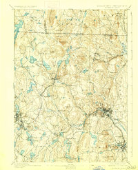
Fitchburg stands as a bustling industrial center along the Nashua River in this late 19th-century survey. The landscape is defined by its deep connectivity to the regional rail network, with the Fitchburg Railroad, Old Colony Railroad, and the Cheshire Railroad all converging to move goods and people through the Worcester County hills. Beyond the urban centers of Gardner and Leominster, the map reveals a collection of smaller manufacturing hamlets and rail-stop villages such as Whitmanville, Mill Village, and South Ashburnham. The topography is notably marked by family-named landmarks and distinct peaks like Rollstone Hill and Watatic Mountain. This era captures the transition from agrarian life to a rail-driven economy, evidenced by the numerous stations like Wachusett Station and Westminster Station serving isolated rural pockets.
Find a feature on this map
128 named features on this map. Tap any name to fly to it.
Don’t see what you’re looking for? This feature index may not catch every label — zoom into the map to look around manually.
Map Details
Editions of this 1893 Fitchburg Map
7 editions found

Other maps of this area

1885 · Worcester
USGS Topo · 1:62,500

1886 · Worcester
USGS Topo · 1:62,500

1887 · Winchendon
USGS Topo · 1:62,500

1887 · Marlboro
USGS Topo · 1:62,500

1887 · Barre
USGS Topo · 1:62,500

1887 · Fitchburg
USGS Topo · 1:62,500

1889 · Marlboro
USGS Topo · 1:62,500

1889 · Fitchburg
USGS Topo · 1:62,500

1889 · Barre
USGS Topo · 1:62,500

1890 · Winchendon
USGS Topo · 1:62,500