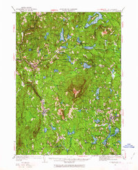
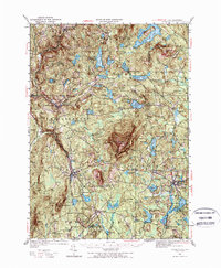
1949 Map of Monadnock
USGS Topo · Published 1963About this map
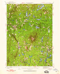
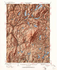
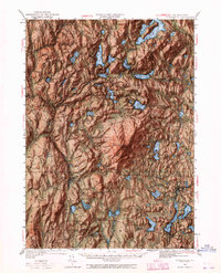
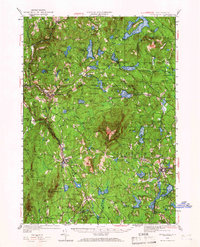
Monadnock Mountain dominates the center of this 1949 topographic survey, marked by its Fire Lookout and the Halfway House along its southern slopes. The landscape is a network of highland lakes and hiking routes, including the Ashuelot Trail and Marlboro Trail, reflecting a region deeply defined by early recreational tourism and conservation. To the southeast, the town of Jaffrey serves as a local hub near Gilmore Pond, while smaller hamlets like Fitzwilliam Depot and Chesham follow the winding path of the Boston and Maine RR.
Find a feature on this map
132 named features on this map. Tap any name to fly to it.
Don’t see what you’re looking for? This feature index may not catch every label — zoom into the map to look around manually.
Map Details
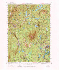
Editions of this 1949 Monadnock Map
10 editions found
Other maps of this area

1887 · Warwick
USGS Topo · 1:62,500

1887 · Winchendon
USGS Topo · 1:62,500

1887 · Fitchburg
USGS Topo · 1:62,500

1889 · Fitchburg
USGS Topo · 1:62,500

1889 · Warwick
USGS Topo · 1:62,500

1890 · Winchendon
USGS Topo · 1:62,500

1893 · Fitchburg
USGS Topo · 1:62,500

1894 · Winchendon
USGS Topo · 1:62,500

1894 · Warwick
USGS Topo · 1:62,500

1898 · Monadnock
USGS Topo · 1:62,500