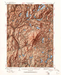
1949 Map of Monadnock
USGS Topo · Published 1961About this map
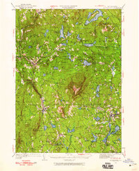
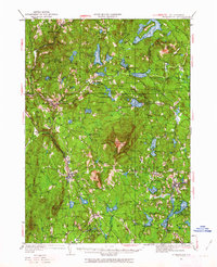
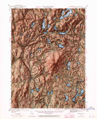
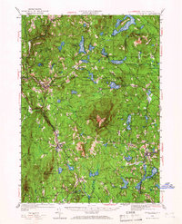
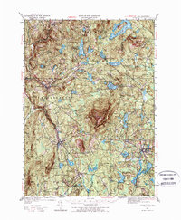
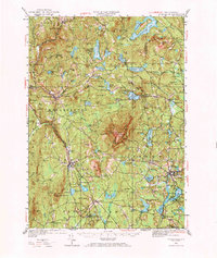
Monadnock Mtn dominates the center of this landscape, its peaks and ridges defining the topography of Cheshire County during the late 1940s. The mountain is a focal point for recreation and travel, marked by the Fire Lookout and the Halfway House along the trail. The surrounding region shows a transition from agricultural roots to a modernizing rural landscape, with local gathering places like the Dublin Golf Club and the Fitchburg Boy Scout Camp indicating the area's growing appeal for summer visitors and youth organizations.
Find a feature on this map
83 named features on this map. Tap any name to fly to it.
Don’t see what you’re looking for? This feature index may not catch every label — zoom into the map to look around manually.
Map Details
Editions of this 1949 Monadnock Map
10 editions found
Other maps of this area

1887 · Warwick
USGS Topo · 1:62,500

1887 · Winchendon
USGS Topo · 1:62,500

1887 · Fitchburg
USGS Topo · 1:62,500

1889 · Fitchburg
USGS Topo · 1:62,500

1889 · Warwick
USGS Topo · 1:62,500

1890 · Winchendon
USGS Topo · 1:62,500

1893 · Fitchburg
USGS Topo · 1:62,500

1894 · Winchendon
USGS Topo · 1:62,500

1894 · Warwick
USGS Topo · 1:62,500

1898 · Monadnock
USGS Topo · 1:62,500