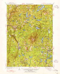
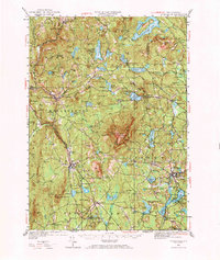
1949 Map of Monadnock
USGS Topo · Published 1955About this map
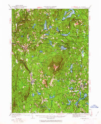
Monadnock Mtn serves as the central landmark for this Cheshire County landscape, which by the late 1940s was defined by a mix of established villages and seasonal recreation. The mountain is crisscrossed by established footpaths like the White Dot Trail and White Cross Trail, leading from the Halfway House towards the summit lookout. In the valleys below, the Boston and Maine railroad corridor connects industrial and transit nodes such as Fitzwilliam Depot and West Rindge. Local civic life is recorded through features like the Roxbury Sch and St Francis Ch, alongside leisure sites like the Dublin Golf Club and Fitchburg Boy Scout Camp. The map details a sophisticated water management and natural network including Nubanusit Lake, Silver Lake, and the Babbidge Res, supporting both the small mill towns and the growing summer populations of the mid-century.
Find a feature on this map
138 named features on this map. Tap any name to fly to it.
Don’t see what you’re looking for? This feature index may not catch every label — zoom into the map to look around manually.
Map Details
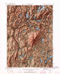
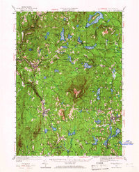
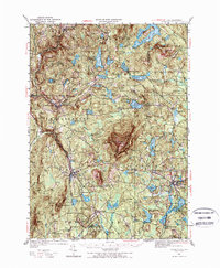
Editions of this 1949 Monadnock Map
10 editions found

Other maps of this area

1887 · Warwick
USGS Topo · 1:62,500

1887 · Winchendon
USGS Topo · 1:62,500

1887 · Fitchburg
USGS Topo · 1:62,500

1889 · Fitchburg
USGS Topo · 1:62,500

1889 · Warwick
USGS Topo · 1:62,500

1890 · Winchendon
USGS Topo · 1:62,500

1893 · Fitchburg
USGS Topo · 1:62,500

1894 · Winchendon
USGS Topo · 1:62,500

1894 · Warwick
USGS Topo · 1:62,500

1898 · Monadnock
USGS Topo · 1:62,500