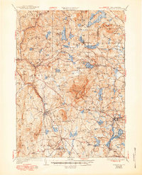
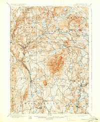
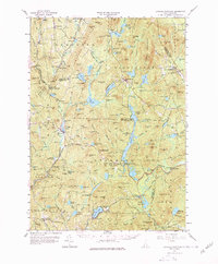
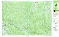
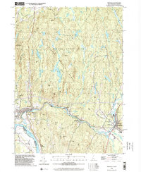
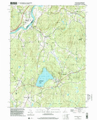
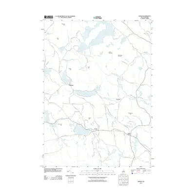
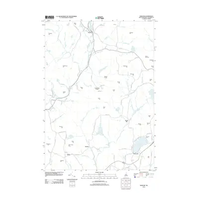
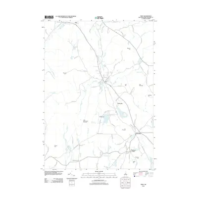
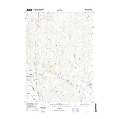
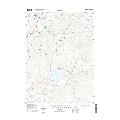
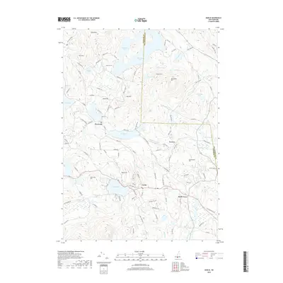
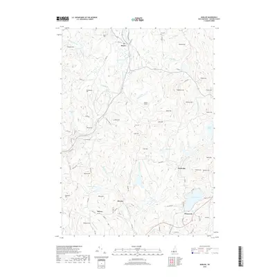
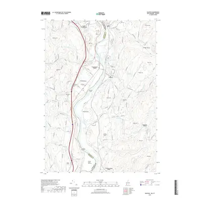
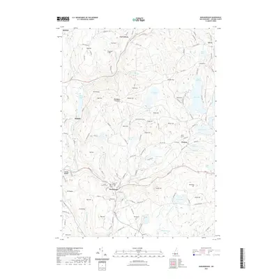
1936 Map of Monadnock
USGS Topo · Published 1950About this map
Monadnock Mtn dominates the central landscape of Cheshire County, serving as the topographical anchor for a network of early 20th-century hiking routes including the White Dot Trail and Cascade Link. This 1932 survey, updated with 1949 revisions, captures the region's transition into a seasonal recreation destination, evidenced by the Dublin Golf Club and several youth camps like the Fitchburg Boy Scout Camp on Gilmore Pond.
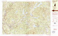
Find a feature on this map
131 named features on this map. Tap any name to fly to it.
Don’t see what you’re looking for? This feature index may not catch every label — zoom into the map to look around manually.
Map Details
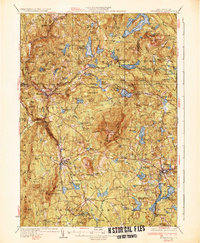
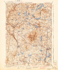
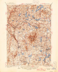
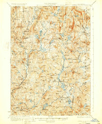
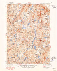
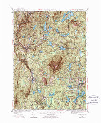
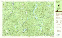
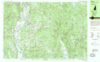
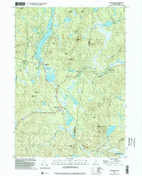
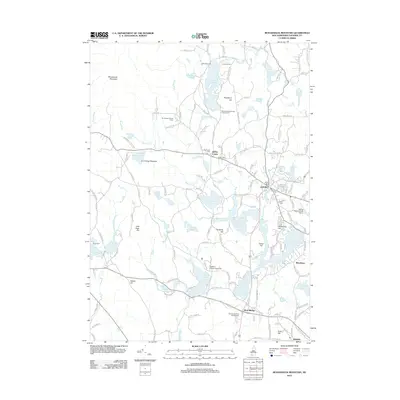
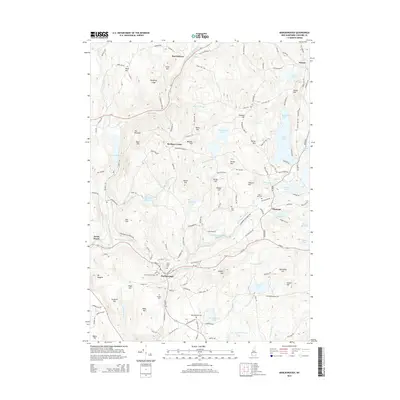
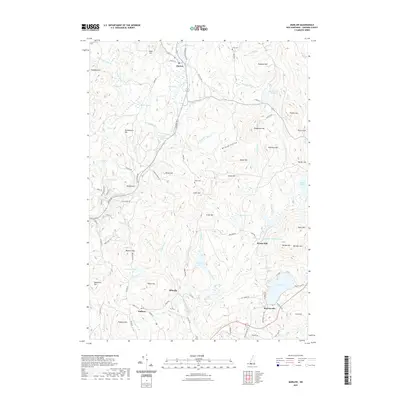
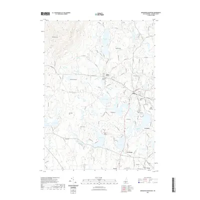
Editions of this 1936 Monadnock Map
4 editions found
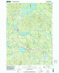
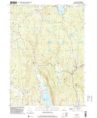
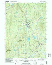
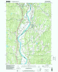
Historical Maps of Keene Through Time
71 maps found
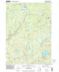
1898 Monadnock
Cheshire County, NH
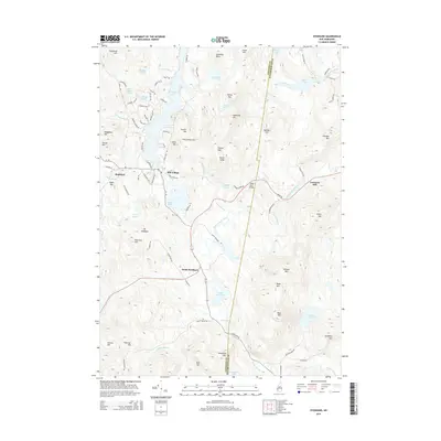
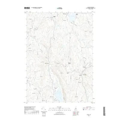
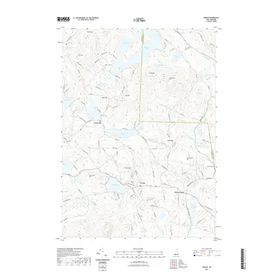
1930 Lovewell Mountain
Cheshire County, NH
1936 Monadnock
Cheshire County, NH
1942 Lovewell Mountain
Cheshire County, NH
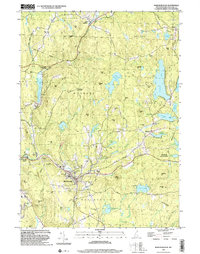
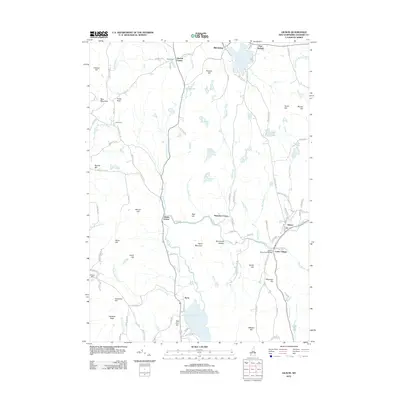
1949 Monadnock
Cheshire County, NH
1957 Lovewell Mountain
Cheshire County, NH
1984 Marlborough
Cheshire County, NH
1984 Monadnock Mountain
Cheshire County, NH
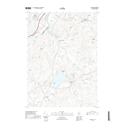
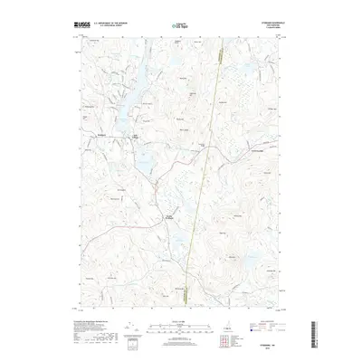
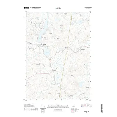
1984 Stoddard
Cheshire County, NH
1984 Winchester
Cheshire County, NH
1985 Walpole
Cheshire County, NH
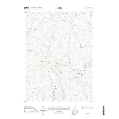
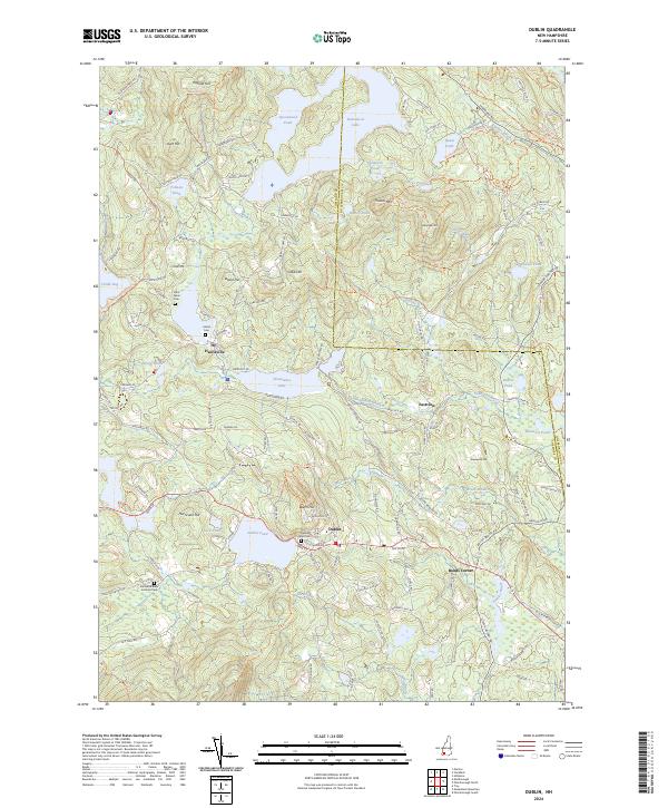
1998 Dublin
Cheshire County, NH
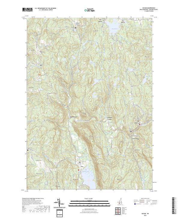
1998 Gilsum
Cheshire County, NH
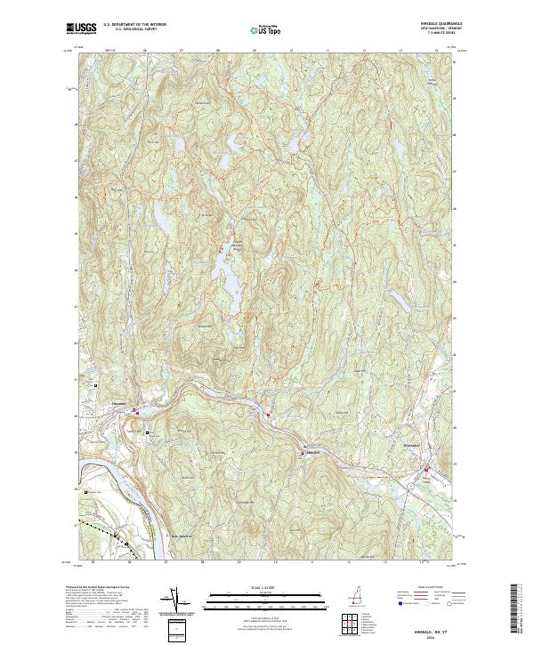
1998 Hinsdale
Cheshire County, NH
1998 Marlborough
Cheshire County, NH
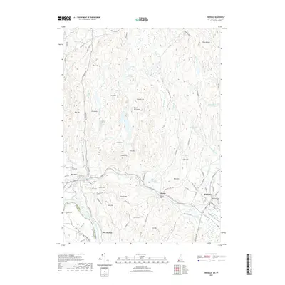
1998 Marlow
Cheshire County, NH
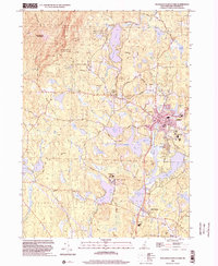
1998 Monadnock Mountain
Cheshire County, NH
1998 Spofford
Cheshire County, NH
1998 Stoddard
Cheshire County, NH
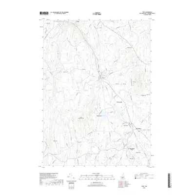
1998 Troy
Cheshire County, NH
1998 Walpole
Cheshire County, NH
2012 Dublin
Cheshire County, NH
2012 Gilsum
Cheshire County, NH
2012 Hinsdale
Cheshire County, NH
2012 Marlborough
Cheshire County, NH
2012 Marlow
Cheshire County, NH
2012 Monadnock Mountain
Cheshire County, NH
2012 Spofford
Cheshire County, NH
2012 Stoddard
Cheshire County, NH
2012 Troy
Cheshire County, NH
2012 Walpole
Cheshire County, NH
2015 Dublin
Cheshire County, NH
2015 Gilsum
Cheshire County, NH
2015 Hinsdale
Cheshire County, NH
2015 Marlborough
Cheshire County, NH
2015 Marlow
Cheshire County, NH
2015 Monadnock Mountain
Cheshire County, NH
2015 Spofford
Cheshire County, NH
2015 Stoddard
Cheshire County, NH
2015 Troy
Cheshire County, NH
2015 Walpole
Cheshire County, NH
2018 Dublin
Cheshire County, NH
2018 Gilsum
Cheshire County, NH
2018 Hinsdale
Cheshire County, NH
2018 Marlborough
Cheshire County, NH
2018 Marlow
Cheshire County, NH

2018 Monadnock Mountain
Cheshire County, NH
2018 Spofford
Cheshire County, NH
2018 Stoddard
Cheshire County, NH
2018 Troy
Cheshire County, NH
2018 Walpole
Cheshire County, NH
2021 Dublin
Cheshire County, NH
2021 Gilsum
Cheshire County, NH
2021 Hinsdale
Cheshire County, NH
2021 Marlborough
Cheshire County, NH
2021 Marlow
Cheshire County, NH
2021 Monadnock Mountain
Cheshire County, NH
2021 Spofford
Cheshire County, NH
2021 Stoddard
Cheshire County, NH
2021 Troy
Cheshire County, NH
2021 Walpole
Cheshire County, NH
2024 Dublin
Cheshire County, NH
2024 Gilsum
Cheshire County, NH
2024 Hinsdale
Cheshire County, NH
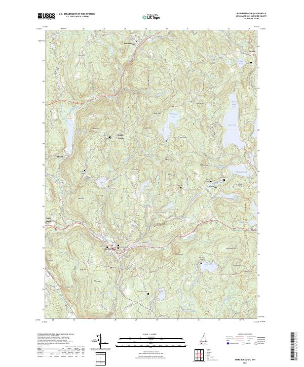
2024 Marlborough
Cheshire County, NH
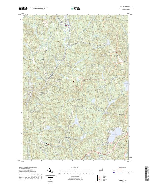
2024 Marlow
Cheshire County, NH
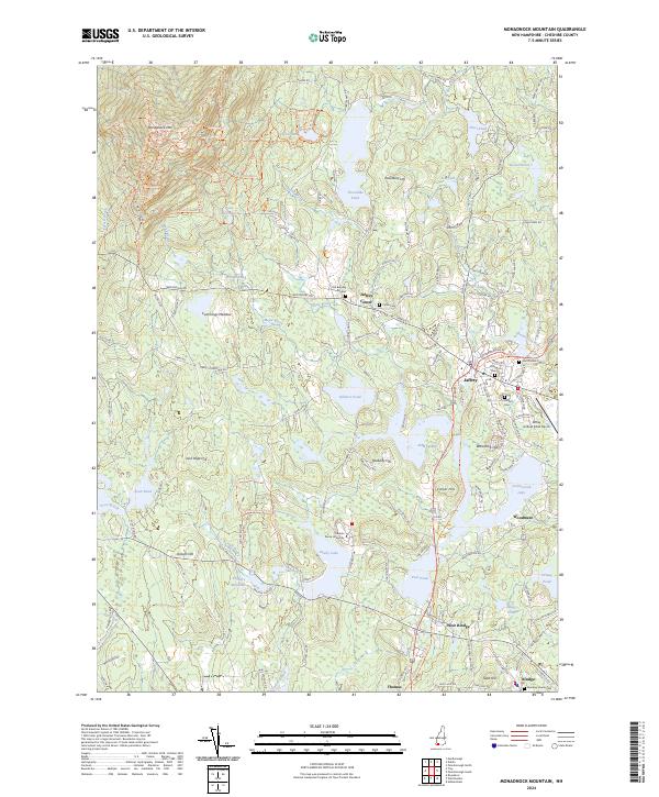
2024 Monadnock Mountain
Cheshire County, NH
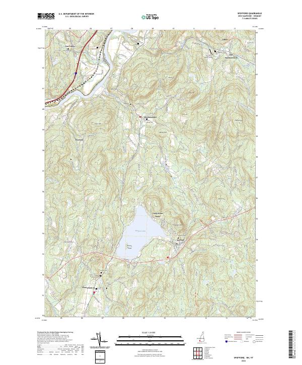
2024 Spofford
Cheshire County, NH
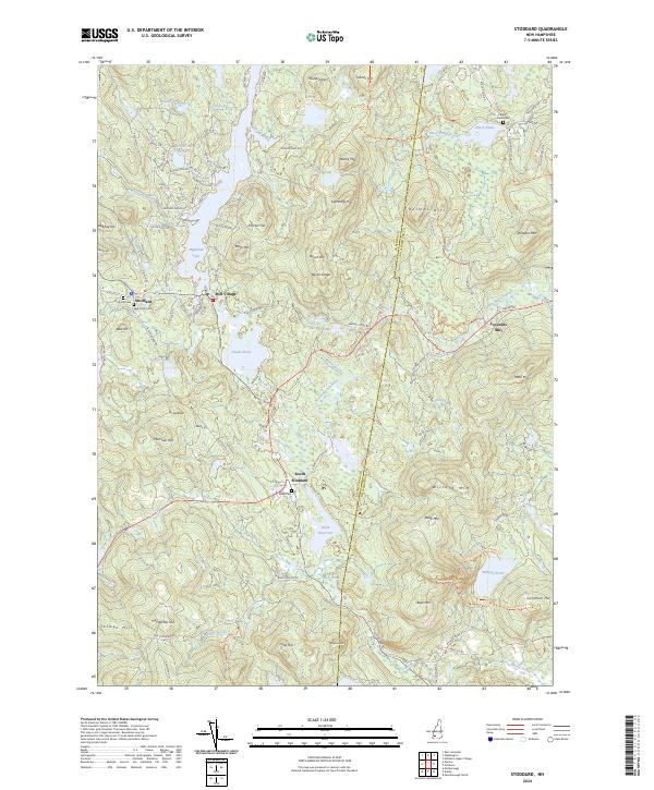
2024 Stoddard
Cheshire County, NH
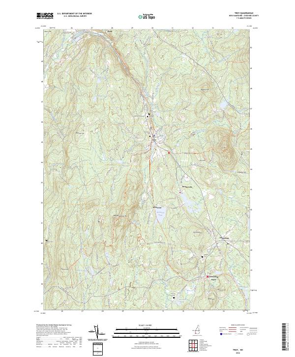
2024 Troy
Cheshire County, NH
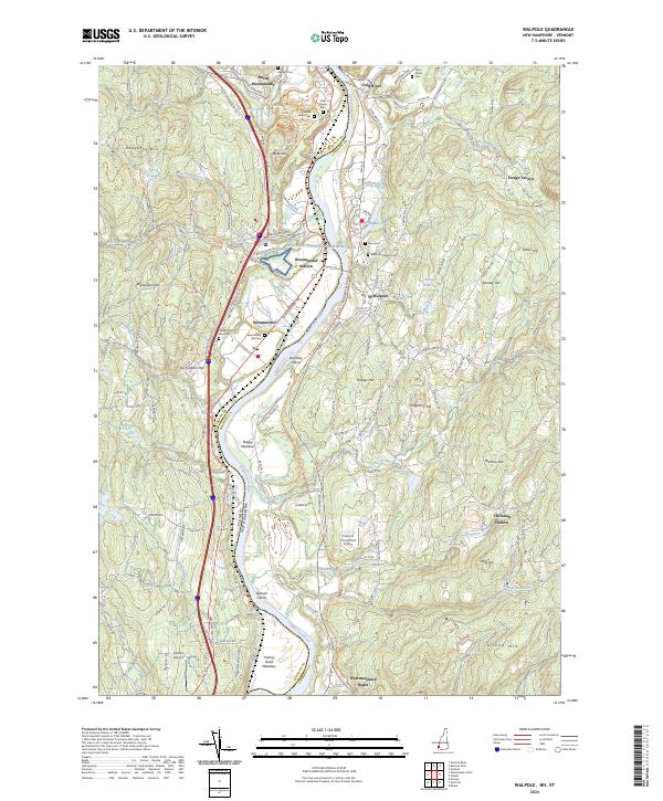
2024 Walpole
Cheshire County, NH