
1936 Map of Monadnock
USGS Topo · Published 1936About this map
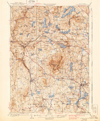
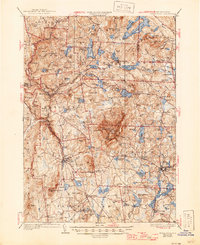
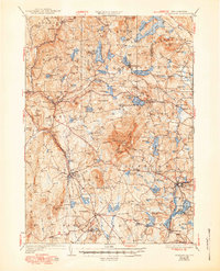
Monadnock Mtn dominates this Southwest New Hampshire landscape, serving as a central hub for a network of hiking trails and landmarks like the Halfway House and the Fire Lookout. The 1930s survey reveals a region defined by its numerous glacial water bodies, from Nubanusit Lake in the north to the Contoocook River drainage in the south. The economic life of the era is visible through the presence of a Quarry near Troy and the vital corridor of the Boston and Maine RR, which links settlements such as Fitzwilliam Depot and East Jaffrey. Local community life is anchored by institutions like Roxbury Center and several numbered schoolhouses. The map also documents the early recreational development of the area, featuring the Fitchburg Boy Scout Camp and established routes like State Highway No 101.
Find a feature on this map
120 named features on this map. Tap any name to fly to it.
Don’t see what you’re looking for? This feature index may not catch every label — zoom into the map to look around manually.
Map Details
Editions of this 1936 Monadnock Map
4 editions found
Other maps of this area

1887 · Warwick
USGS Topo · 1:62,500

1887 · Winchendon
USGS Topo · 1:62,500

1887 · Fitchburg
USGS Topo · 1:62,500

1889 · Fitchburg
USGS Topo · 1:62,500

1889 · Warwick
USGS Topo · 1:62,500

1890 · Winchendon
USGS Topo · 1:62,500

1893 · Fitchburg
USGS Topo · 1:62,500

1894 · Winchendon
USGS Topo · 1:62,500

1894 · Warwick
USGS Topo · 1:62,500

1898 · Monadnock
USGS Topo · 1:62,500