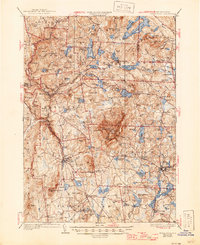
1936 Map of Monadnock
USGS Topo · Published 1946About this map
Monadnock Mtn Fire Lookout stands as the central landmark of this landscape, surrounded by a dense network of towns and glacial ponds in Cheshire County. The map captures a period of established New England industry and transport, where the Boston and Maine RR connects Fitzwilliam Depot, Troy, and Marlboro. Local commerce and community life are evidenced by the numerous named settlements like Jaffrey, Nelson, and Harrisville, alongside rural landmarks such as Halfway House and Roxbury Sch.
Find a feature on this map
115 named features on this map. Tap any name to fly to it.
Don’t see what you’re looking for? This feature index may not catch every label — zoom into the map to look around manually.
Map Details
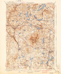
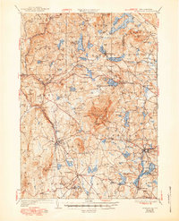
Editions of this 1936 Monadnock Map
4 editions found

Other maps of this area

1887 · Warwick
USGS Topo · 1:62,500

1887 · Winchendon
USGS Topo · 1:62,500

1887 · Fitchburg
USGS Topo · 1:62,500

1889 · Fitchburg
USGS Topo · 1:62,500

1889 · Warwick
USGS Topo · 1:62,500

1890 · Winchendon
USGS Topo · 1:62,500

1893 · Fitchburg
USGS Topo · 1:62,500

1894 · Winchendon
USGS Topo · 1:62,500

1894 · Warwick
USGS Topo · 1:62,500

1898 · Monadnock
USGS Topo · 1:62,500