Old Maps of Glen House, Green's Grant
Explore 18 old maps of Glen House, spanning from 1893 to today. These high-resolution historic maps reveal how streets, neighborhoods, landmarks, and natural features evolved over time — perfect for genealogy, metal detecting, research, and local history exploration.
What you can do with these maps:
- See how Glen House changed over time: Compare historical maps to modern-day views to trace roads, homesites, rail lines & more.
- View detailed metadata: Each map includes creators, publishers, year, scale, and archive source.
- Overlay maps with satellite & LiDAR: Visualize the past alongside modern tools to explore terrain & human change.
- Trusted historical sources: Maps sourced from the USGS, Library of Congress, and other archives.
- Access maps your way: View online, download high-res files, or order prints for personal or research use.
Start exploring old maps of Glen House to uncover forgotten places, hidden landmarks, and the deep history beneath your feet.
Glen House, Green's Grant maps
(18)- 1893 Map of Gorham
 1893 Gorham1893 Print · USGSThe northern White Mountains at the height of the 1890s show a landscape shaped by early tourism and the timber industry. Genealogists and hikers can trace historic routes like Madison Path and locate vanished landmarks such as Glen House or the rail yards at Berlin Fall.8 unique versions available
 - 1896 Map of Gorham
 1896 Gorham1896 Print · USGSThe White Mountains were a bustling hub of rail activity and early tourism in the 1890s as industry met the wilderness. Genealogists and hikers can trace the original routes of the Grand Trunk Railroad, find the historic Glen House, and locate landmarks like Berlin Falls.
 - 1937 Map of Gorham
 1937 Gorham1937 Print · USGSNew Hampshire's high peaks and river valleys are shown in detail during the late 1930s as the regional economy balanced rail industry with forest conservation. Genealogists and hikers can trace the Appalachian Trail, locate Civilian Conservation Corps sites like CCC Camp Gorham, and study the industrial corridors of the Grand Trunk Railway.6 unique versions available
 - 1942 Map of Gorham
 1942 Gorham1942 Print · USGSIn the early 1940s, the high peaks of the New Hampshire border region were already a hub for hikers and rail travel. Trace the historical routes of the Appalachian Trail and find landmarks like the Mascot Mine, the Glen House, and the Grand Trunk railroad.3 unique versions available
 - 1950 Map of Lewiston
 1950 Lewiston1950 Print · USGSThe Maine and New Hampshire borderlands come alive in this post-war survey of the White Mountains and Androscoggin valley. Genealogists and historians can trace rail lines like the Maine Central Railroad and find high-altitude landmarks from Mount Washington to Bretton Woods.2 unique versions available
 - 1956 Map of Lewiston, 1975 Print
 1956 Lewiston1975 Print · USGSThe Northern New England interior is documented here in the mid-fifties, from the industrial Androscoggin River to the high peaks of the White Mountains. Trace the Grand Trunk Railway through mountain passes or locate family landmarks near Sabbathday Lake and Bretton Woods.
 - 1961 Map of Lewiston
 1961 Lewiston1961 Print · USGSWestern Maine and the White Mountains appear here during the early sixties, showing the industrial river towns and vast timberlands before the modern interstate era. Genealogists and historians can trace the Grand Trunk RR through Berlin or locate landmarks like Old Speck Mountain and Elephant Mountain.
 - 1962 Map of Lewiston
 1962 Lewiston1962 Print · USGSThe industrial river valleys and high peaks of Maine and New Hampshire define the region in the early sixties. Trace the rail-and-river network from Lewiston to the White Mountains, passing through mill towns like Berlin and Rumford.
 - 1969 Map of Lewiston
 1969 Lewiston1969 Print · USGSThe northern New England highlands come into focus during the mid-fifties, showing the vital rail and river networks connecting industrial centers to the deep woods. Researchers can trace the path of the Grand Trunk RR or locate landmarks like Mt Washington and Rangeley Lake.
 - 1970 Map of Carter Dome, 1972 Print
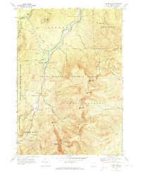 1970 Carter Dome1972 Print · USGSCoos County, New Hampshire, is captured here in the early 1970s as its peaks became central to Eastern mountaineering and recreation. Researchers can trace the legendary Appalachian Trail, the historic Glen House site, and the high-altitude Carter Notch trails.3 unique versions available
 - 1986 Map of Mount Washington
 1986 Mount Washington1986 Print · USGSThe northern New England highlands are shown here in the mid-eighties, centered on the high peaks and river valleys of the New Hampshire borderlands. Researchers can trace historic transportation lines like the Mount Washington Cog Railway and the Maine Central Railroad near Gorham and Lancaster.
 - 1988 Map of Mount Washington, 1989 Print
 1988 Mount Washington1989 Print · USGSThe New Hampshire high country in the late 1980s is defined by its iconic peaks and the legacy of mountain tourism. Trace the routes of the historic Mount Washington Cog Railway and the Maine Central RR through the gaps of Crawford Notch State Park.
 - 1995 Map of Carter Dome, 2000 Print
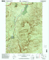 1995 Carter Dome2000 Print · USGSThe high peaks and forest grants of the White Mountains are shown here in the mid-nineties, capturing a landscape of alpine recreation and timber-era boundaries. Researchers can trace the Appalachian National Scenic Trail past the Carter Notch Hut and locate historical landmarks like Glen House.
 - 2012 Map of Carter Dome, 2012 Print
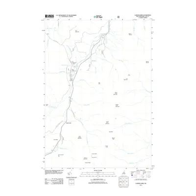 2012 Carter Dome2012 Print · USGSThe White Mountains' high peaks and recreation areas are charted here in the early twenty-first century. Researchers and hikers can trace trails to Carter Notch Hut, locate the historic Dolly Copp Campground, and study the drainage of the Peabody River.
 - 2015 Map of Carter Dome, 2015 Print
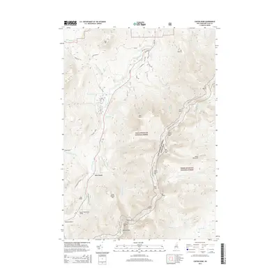 2015 Carter Dome2015 Print · USGSThe high peaks of the White Mountains are captured in this mid-2010s survey, focusing on the Carter-Moriah Range and the northern Mount Washington Valley. Hikers and historians can trace the Appalachian National Scenic Trail through landmarks like Zeta Pass, Carter Notch, and the historic site of Glen House.
 - 2018 Map of Carter Dome, 2018 Print
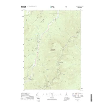 2018 Carter Dome2018 Print · USGSThe high Carter Range of the White Mountains is captured here in the late twenty-teens, showing a landscape of extreme relief and storied alpine trails. Researchers can trace the path of the Appalachian National Scenic Trail past Carter Notch and Imp Face, or locate the historic site of Glen House along the Peabody River.
 - 2021 Map of Carter Dome, 2021 Print
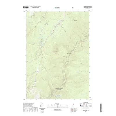 2021 Carter Dome2021 Print · USGSThe White Mountains in the early twenty-first century are mapped here in extensive topographic detail, centered on the high peaks of the Carter Range. Hikers and historians can trace the Appalachian National Scenic Trail through Carter Notch and past landmarks like Glen House and Mt Moriah.
 - 2024 Map of Carter Dome, 2024 Print
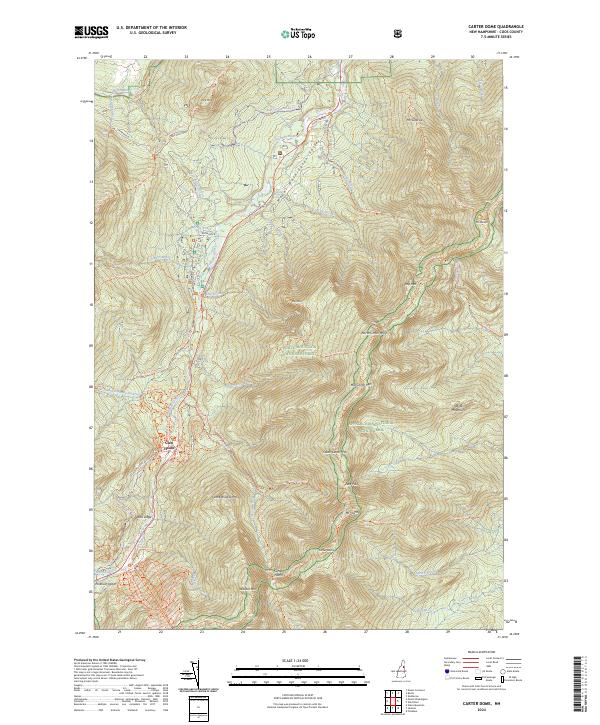 2024 Carter Dome2024 Print · USGSThe high peaks of Coos County are captured in this recent survey of the Carter-Moriah Range and its surrounding wilderness areas. Hikers and historians can trace the Appalachian National Scenic Trail as it crosses Zeta Pass and Carter Dome.
End of results
Showing maps 1-18 of 18
Top cities near Glen House
- Berlin historical maps
- Conway historical maps
- Fryeburg historical maps
- Lancaster historical maps
- Bartlett historical maps
- Gorham historical maps
See more
Frequently asked questions
- What are the different types of historical maps available for Glen House?
- What is the oldest map of Glen House?
- Where can I purchase historical maps of Glen House for my home or office?
- Where can I download high-res historical maps of Glen House?
- Are there historical topographic maps available for Glen House?
- Is there historical aerial imagery available for Glen House?
- Where are historical maps of Glen House sourced from?