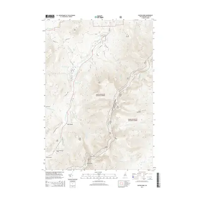
2015 Map of Carter Dome
USGS Topo · Published 2015About this map
The Peabody River valley dominates this portion of the White Mountain National Forest, where the historic Glen House serves as a central landmark for travelers navigating the northern peaks. The terrain is defined by the high ridge of the Carter-Moriah Range, featuring elevations from North Carter Mtn down through Zeta Pass to the namesake Carter Dome. This 2015 survey details the modern alignment of the Appalachian National Scenic Trail as it traverses the heights of Wildcat Mtn and descends toward Pinkham Notch.
Find a feature on this map
49 named features on this map. Tap any name to fly to it.
Don’t see what you’re looking for? This feature index may not catch every label — zoom into the map to look around manually.
Map Details
Editions of this 2015 Carter Dome Map
This is the sole edition of this map. No revisions or reprints were ever made.
Other maps of this area

1893 · Mt. Washington
USGS Topo · 1:62,500

1893 · Gorham
USGS Topo · 1:62,500

1894 · North Conway
USGS Topo · 1:62,500

1895 · Crawford Notch
USGS Topo · 1:62,500

1896 · Mt. Washington
USGS Topo · 1:62,500

1896 · Crawford Notch
USGS Topo · 1:62,500

1896 · North Conway
USGS Topo · 1:62,500

1896 · Gorham
USGS Topo · 1:62,500

1935 · Mt. Washington
USGS Topo · 1:62,500

1937 · Gorham
USGS Topo · 1:48,000