Old Maps of Northumberland, New Hampshire for Metal Detecting
Plan your next treasure hunt with 39 historic maps of Northumberland. Find old homesites, ghost towns, trails, and gathering spots that may be lost to time — perfect for identifying promising metal detecting locations.
- Locate forgotten sites: Uncover places like long-lost settlements, abandoned rail lines, or gathering spots.
- Plan better hunts: Use map overlays combined with LiDAR or satellite views to narrow in on historically rich areas.
- Made for detectorists: Thousands of hobbyists use these maps to discover relics, coins, and hidden history.
Use these historic maps to boost your research and find new opportunities beneath the surface of Northumberland.
Northumberland, NH maps
(39)- 1920 Map of Guildhall
 1920 Guildhall1920 Print · USGSThe upper Connecticut River valley is captured here in the early twentieth century as a bustling railroad corridor on the border of Vermont and New Hampshire. Genealogists can trace family names at Wheeler Corner or Hapgood Corner and locate regional hubs like North Stratford and Guildhall Station.
 - 1930 Map of Percy, 1953 Print
 1930 Percy1953 Print · USGSCoos County at the start of the thirties centers on the river valleys and rail lines of the North Country. Genealogists can trace the rural schoolhouses of Blake Sch and Hodgdon Hill Sch or locate family landmarks like Beach Hill and Cummings Mtn.5 unique versions available
 - 1931 Map of Guildhall
 1931 Guildhall1931 Print · USGSThe Upper Connecticut River valley was a bustling rail corridor in the early thirties where New Hampshire and Vermont met. Genealogists and rail historians can trace the paths of the Maine Central RR through Groveton or find rural landmarks like East Stratford Sch.
 - 1933 Map of Guildhall
 1933 Guildhall1933 Print · USGSThe Upper Connecticut River Valley thrives during the early thirties as a nexus of New England rail and timber. Trace early families and industry at Maidstone Lake, the Grand Trunk Railway corridor, and the Stone Mtn Firetower.3 unique versions available
 - 1934 Map of Percy
 1934 Percy1934 Print · USGSCoos County, New Hampshire, is shown in the mid-1930s as a landscape of timber camps and isolated valley settlements. Genealogists and historians can locate rural landmarks like the Emerson Sch, the remote Lost Nation community, and the Grand Trunk rail line.3 unique versions available
 - 1937 Map of Guildhall
 1937 Guildhall1937 Print · USGSThe Connecticut River valley comes alive in the 1930s, documenting a landscape of rail-connected river towns and remote mountain bogs. Genealogists and historians can trace the locations of the Chessman Sch, the Maine Central rail lines, and local landmarks like Brunswick Springs.3 unique versions available
 - 1950 Map of Lewiston
 1950 Lewiston1950 Print · USGSThe Maine and New Hampshire borderlands come alive in this post-war survey of the White Mountains and Androscoggin valley. Genealogists and historians can trace rail lines like the Maine Central Railroad and find high-altitude landmarks from Mount Washington to Bretton Woods.2 unique versions available
 - 1956 Map of Guildhall, 1957 Print
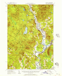 1956 Guildhall1957 Print · USGSThe upper Connecticut River valley comes alive in the mid-fifties, showing the rail-and-river economy of the Vermont-New Hampshire border. Genealogists and researchers can trace the tracks of the Grand Trunk railroad through North Stratford or locate the Central Sch and Browns Mill.3 unique versions available
 - 1956 Map of Lewiston, 1975 Print
 1956 Lewiston1975 Print · USGSThe Northern New England interior is documented here in the mid-fifties, from the industrial Androscoggin River to the high peaks of the White Mountains. Trace the Grand Trunk Railway through mountain passes or locate family landmarks near Sabbathday Lake and Bretton Woods.
 - 1961 Map of Lewiston
 1961 Lewiston1961 Print · USGSWestern Maine and the White Mountains appear here during the early sixties, showing the industrial river towns and vast timberlands before the modern interstate era. Genealogists and historians can trace the Grand Trunk RR through Berlin or locate landmarks like Old Speck Mountain and Elephant Mountain.
 - 1962 Map of Lewiston
 1962 Lewiston1962 Print · USGSThe industrial river valleys and high peaks of Maine and New Hampshire define the region in the early sixties. Trace the rail-and-river network from Lewiston to the White Mountains, passing through mill towns like Berlin and Rumford.
 - 1969 Map of Lewiston
 1969 Lewiston1969 Print · USGSThe northern New England highlands come into focus during the mid-fifties, showing the vital rail and river networks connecting industrial centers to the deep woods. Researchers can trace the path of the Grand Trunk RR or locate landmarks like Mt Washington and Rangeley Lake.
 - 1986 Map of Groveton
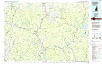 1986 Groveton1986 Print · USGSThe North Country's rugged borderlands come into focus in the mid-1980s, tracing the river-and-rail corridors of the Connecticut River valley. Genealogists and historians can locate family landmarks in North Stratford, Groveton, and Guildhall or trace the Canadian National RR.2 unique versions available
 - 1988 Map of Stratford
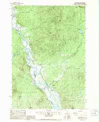 1988 Stratford1988 Print · USGSThe upper Connecticut River valley comes to life in the late eighties, capturing the border communities of North Stratford and Maidstone in high detail. Genealogists and historians can trace family-named sites like Masons, old transport routes including the Old RR Grade, and remote water bodies like Stratford Bog Pond.
 - 1988 Map of Percy Peaks
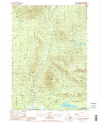 1988 Percy Peaks1988 Print · USGSCoos County's high country is captured here in the late eighties, showing a landscape defined by timber and drainage. Researchers can trace the course of the Upper Ammonoosuc River and find family-named landmarks like Jimmy Cole Ledge and Potters Ledge.2 unique versions available
 - 1988 Map of Stark
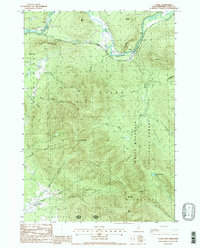 1988 Stark1988 Print · USGSCoos County's mountain wilderness and river-valley settlements are captured here in the late eighties. Genealogists and hikers can trace the geography of isolated places like Lost Nation, the historic Covered Bridge at Stark, and the high reaches of the Pilot Range.2 unique versions available
 - 1988 Map of Groveton
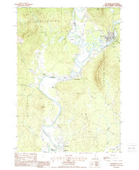 1988 Groveton1988 Print · USGSThe upper Connecticut River valley is captured here in the late eighties, documenting the border towns of New Hampshire and Vermont. Genealogists and historians can trace the Old Railroad Grade, locate the Covered Bridge near Guildhall, and explore the industrial layout of Groveton.
 - 1995 Map of Stark, 2000 Print
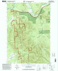 1995 Stark2000 Print · USGSCoos County in the mid-nineties shows the isolated settlements and forest boundaries of the northern peaks just before the turn of the millennium. Genealogists and hikers can trace the Ammonoosuc River to find the Stark Covered Bridge, local Cem sites, and the remote Lost Nation.
 - 1996 Map of Percy Peaks, 2000 Print
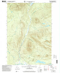 1996 Percy Peaks2000 Print · USGSCoos County was evolving toward large-scale forest conservation in the mid-1990s as the state secured vast timberlands. Researchers can trace historic access roads through the Nash Stream Forest and locate family landmarks like Jimmy Cole Ledge and the riverside tracks at Percy.
 - 2012 Map of Groveton, 2012 Print
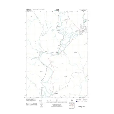 2012 Groveton2012 Print · USGSThe Connecticut River valley at the New Hampshire-Vermont border shows its late-twentieth-century development around Groveton and Guildhall. Researchers can trace local lineage through numerous sites like Court House Hill Cem, Rich Cem, and the rail crossing at Coos Junction.
 - 2012 Map of Stark, 2012 Print
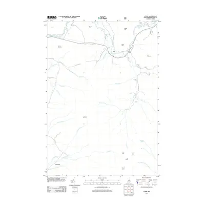 2012 Stark2012 Print · USGSNorthern New Hampshire's river valleys and granite peaks are shown here in the early twenty-first century. Genealogists and hikers can trace the remote reaches of Lost Nation or locate the historic Stark Bridge along the Upper Ammonoosuc River.
 - 2012 Map of Percy Peaks, 2012 Print
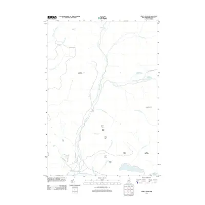 2012 Percy Peaks2012 Print · USGSCoos County's high-country terrain and mountain ponds are documented here in the early twenty-first century. Researchers can trace the drainage of Nash Stream and locate remote landmarks like North Percy Peak, Christine Lake, and Potters Ledge.
 - 2012 Map of Stratford, 2012 Print
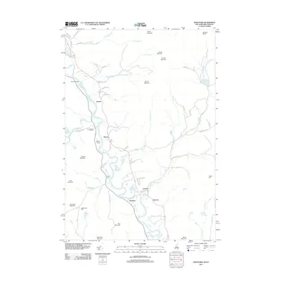 2012 Stratford2012 Print · USGSThe Connecticut River valley at the New Hampshire-Vermont border comes into focus in this 2012 survey. Historians can trace rural riverfront settlements like Stratford and Maidstone alongside family burial grounds like the Smith-Gardner Shoff Cem.
 - 2015 Map of Percy Peaks, 2015 Print
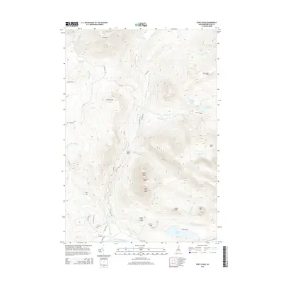 2015 Percy Peaks2015 Print · USGSCoos County peaks and remote glacial ponds define this New Hampshire landscape during the mid-2010s. Researchers can trace landforms and local water systems from Christine Lake to the summits of North Percy Peak and South Percy Peak.
 - 2015 Map of Stratford, 2015 Print
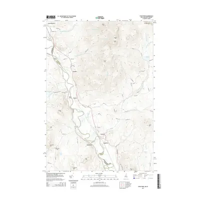 2015 Stratford2015 Print · USGSThe upper Connecticut River valley and the Vermont-New Hampshire border are captured here in the mid-2010s. Researchers can locate family landmarks like Smith-Gardner-Shoff Cem and the small riverside settlements of Beatties and Masons.
Showing maps 1-25 of 39
Top cities near Northumberland
- Berlin historical maps
- Littleton historical maps
- Lancaster historical maps
- Whitefield historical maps
- Milan historical maps
- Lunenburg historical maps
See more
Top neighborhoods of Northumberland
Frequently asked questions
- What are the different types of historical maps available for Northumberland?
- What is the oldest map of Northumberland?
- Where can I purchase historical maps of Northumberland for my home or office?
- Where can I download high-res historical maps of Northumberland?
- Are there historical topographic maps available for Northumberland?
- Is there historical aerial imagery available for Northumberland?
- Where are historical maps of Northumberland sourced from?