2020s Maps of Francestown, New Hampshire
Explore 10 historic maps of Francestown from the 2020s. These maps offer a rare glimpse into what life looked like during the 2020s — showing old roads, neighborhoods, homes, and landmarks that have changed or disappeared over time.
Whether you're researching your family's past, planning a metal detecting trip, or studying how Francestown's landscape evolved across the 2020s, these high-resolution maps are a powerful tool for exploring the history of this region.
- Focus on a specific era: All maps on this page are from the 2020s, giving you a focused view of this time period.
- See what’s changed: Compare century-old streets, trails, and buildings to today's modern landscape using overlays and satellite layers.
- Research with precision: Use these maps for genealogy, historical research, land use analysis, or educational projects.
- View, download, or print: Maps are fully viewable online in high resolution, and can be downloaded or printed for your own records.
Start exploring Francestown's history through authentic maps from the 2020s. This is your window into the past.
Francestown, NH maps
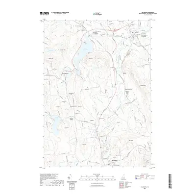
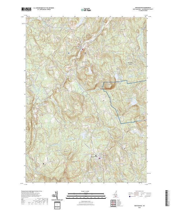
(10)- 2021 Map of New Boston, 2021 Print
 2021 New Boston2021 Print · USGSCovers Francestown, including New Boston, Wilton, and other nearby areas
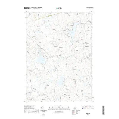
 - 2021 Map of Hillsboro, 2021 Print
 2021 Hillsboro2021 Print · USGSCovers Francestown, including Antrim, Hillsborough, and other nearby areas
 - 2021 Map of Greenfield, 2021 Print
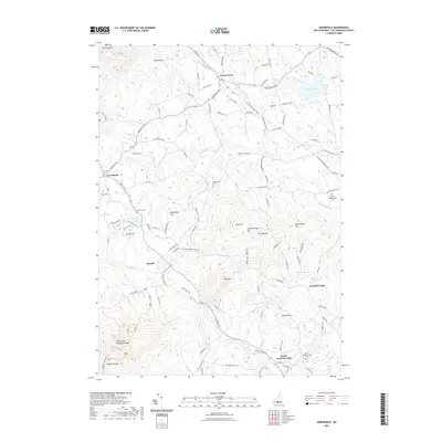 2021 Greenfield2021 Print · USGSCovers Francestown, including New Boston, Greenfield, and other nearby areas
 - 2021 Map of Deering, 2021 Print
 2021 Deering2021 Print · USGSCovers Francestown, including Weare, New Boston, and other nearby areas
 - 2021 Map of Peterborough North, 2021 Print
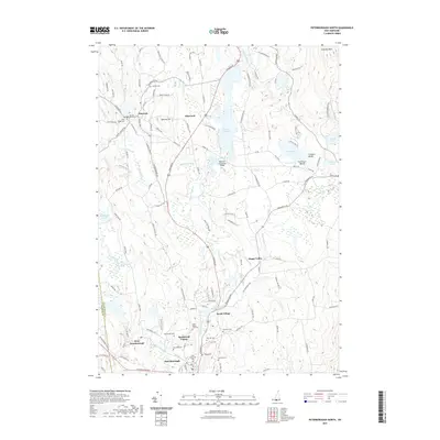 2021 Peterborough North2021 Print · USGSCovers Francestown, including Peterborough, Hancock, and other nearby areas
 - 2024 Map of Greenfield, 2024 Print
 2024 Greenfield2024 Print · USGSHillsborough County villages and highland ridges are mapped in detail during this modern era. Researchers can trace historic burial sites like Whittemore Cem and Knight Cem or explore the trails of the Wapack National Wildlife Refuge.
 - 2024 Map of Deering, 2024 Print
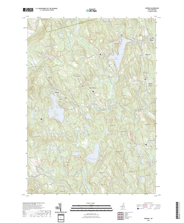 2024 Deering2024 Print · USGSDeering and the Hillsborough uplands are shown in this modern survey, where old hill farms have given way to dense woods and quiet reservoirs. Researchers can locate numerous family burial grounds like Collins Cem or trace the early paths of Slab City and Clinton Grove.
 - 2024 Map of Hillsboro, 2024 Print
 2024 Hillsboro2024 Print · USGSHillsborough County in the 2020s remains a landscape of river-valley villages and numerous hill-country cemeteries. Researchers can trace family sites from Pine Hill Cem to Maplewood Cem while following the path of the Hillsborough Rec Rail Trail.
 - 2024 Map of Peterborough North, 2024 Print
 2024 Peterborough North2024 Print · USGSSouthern New Hampshire's river valleys are seen here in recent years, showing the intersection of historic town centers and protected lands. Trace old family plots at Hillside Cem, explore the legendary MacDowell Colony, and follow the Inactive Rail Trl as it winds past Powder Mill Pond.
 - 2024 Map of New Boston, 2024 Print
 2024 New Boston2024 Print · USGSHillsborough County's interior settlements and high ground are documented in this contemporary survey of the region south of the Piscataquog. Researchers can trace the layout of the New Boston Air Station or locate family sites at New Boston Cem and Klondike Corner.
End of results
Showing maps 1-10 of 10
Top cities near Francestown
- Concord historical maps
- Bedford historical maps
- Goffstown historical maps
- Milford historical maps
- Weare historical maps
- Hollis historical maps
See more
Frequently asked questions
- What are the different types of historical maps available for Francestown?
- What is the oldest map of Francestown?
- Where can I purchase historical maps of Francestown for my home or office?
- Where can I download high-res historical maps of Francestown?
- Are there historical topographic maps available for Francestown?
- Is there historical aerial imagery available for Francestown?
- Where are historical maps of Francestown sourced from?