Old Maps of Dunbarton, New Hampshire
Explore 35 old maps of Dunbarton, spanning from 1927 to today. These high-resolution historic maps reveal how streets, neighborhoods, landmarks, and natural features evolved over time — perfect for genealogy, metal detecting, research, and local history exploration.
What you can do with these maps:
- See how Dunbarton changed over time: Compare historical maps to modern-day views to trace roads, homesites, rail lines & more.
- View detailed metadata: Each map includes creators, publishers, year, scale, and archive source.
- Overlay maps with satellite & LiDAR: Visualize the past alongside modern tools to explore terrain & human change.
- Trusted historical sources: Maps sourced from the USGS, Library of Congress, and other archives.
- Access maps your way: View online, download high-res files, or order prints for personal or research use.
Start exploring old maps of Dunbarton to uncover forgotten places, hidden landmarks, and the deep history beneath your feet.
Dunbarton, NH maps
(35)- 1927 Map of Concord
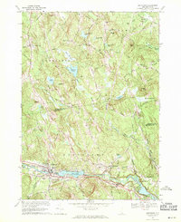
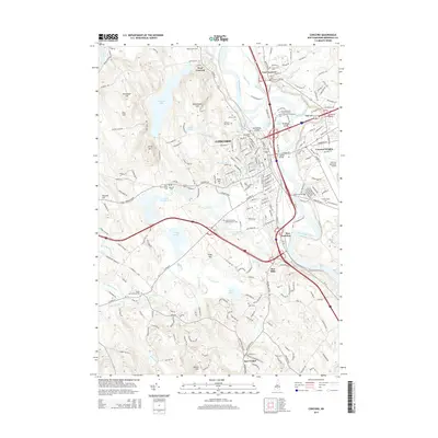
 1927 Concord1927 Print · USGSMerrimack and Hillsborough counties show a landscape of river-driven industry and rural school districts during the mid-twenties. Genealogists can trace family lines through dozens of local schoolhouses and institutions like St Pauls School or the Quaker Church.6 unique versions available
 - 1949 Map of Portland
 1949 Portland1949 Print · USGSCoastal Maine and the New Hampshire interior are shown in detail during the late forties, from the bustling harbors to the lakeside villages. Researchers can trace historical rail networks like the Boston & Maine RR and locate coastal defenses such as Fort Preble.3 unique versions available
 - 1949 Map of Concord, 1954 Print
 1949 Concord1954 Print · USGSMerrimack County at the close of the 1940s shows a capital city and its surrounding hill towns in transition. Genealogists and local historians can pinpoint family-named landmarks like Putney Hill, rural schoolhouses such as Waite School, and the quiet Quaker Church.4 unique versions available
 - 1956 Map of Portland, 1963 Print
 1956 Portland1963 Print · USGSSouthern Maine and eastern New Hampshire are captured here in the mid-fifties, during a time of major highway expansion and military growth. You can trace the path of the Maine Turnpike and locate landmarks like the Portsmouth Naval Shipyard and Sebago Lake.4 unique versions available
 - 1959 Map of Portland
 1959 Portland1959 Print · USGSThe Maine and New Hampshire coastlines meet in this mid-century portrait of maritime commerce and inland rail networks. Researchers can trace the legacy of coastal defense at Fort Williams and follow the historic path of the Maine Central RR through the White Mountain National Forest.2 unique versions available
 - 1963 Map of Portland
 1963 Portland1963 Print · USGSCoastal Maine and New Hampshire thrived as maritime and industrial hubs during the mid-sixties, linked by a dense network of rail and river. Researchers can trace historic transit corridors like the Maine Central RR and locate key sites such as the Portsmouth Naval Shipyard or Pease Air Force Base.3 unique versions available
 - 1967 Map of Hopkinton, 1971 Print
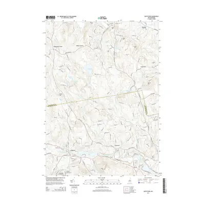
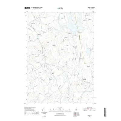
 1967 Hopkinton1971 Print · USGSMerrimack County during the late 1960s shows a landscape transformed by the Hopkinton-Everett Reservoir and modern highway interchanges. Researchers can trace ancestral roots at Putney Cem or explore the transit history of the Claremont and Concord Railroad and the landmark Covered Bridge.2 unique versions available
 - 1967 Map of Weare, 1971 Print
 1967 Weare1971 Print · USGSHillsborough County in the late sixties reveals a landscape transformed by water management and historic New England settlement. Researchers can trace ancestral roots at Quaker Cem and Stark Cem or follow the Old Railroad Grade past Tavern Village.3 unique versions available
 - 1967 Map of Concord, 1971 Print
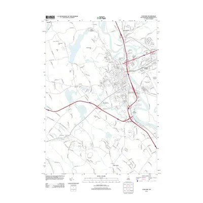
 1967 Concord1971 Print · USGSConcord in the late sixties reveals the evolving character of New Hampshire's capital as modern turnpikes met the historic river corridor. Genealogists and historians can trace institutional landmarks like the State House and State Prison, or find family names at Blossom Hill Cemetery and Evan Cem.3 unique versions available
 - 1969 Map of Goffstown, 1971 Print
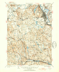
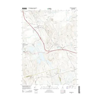
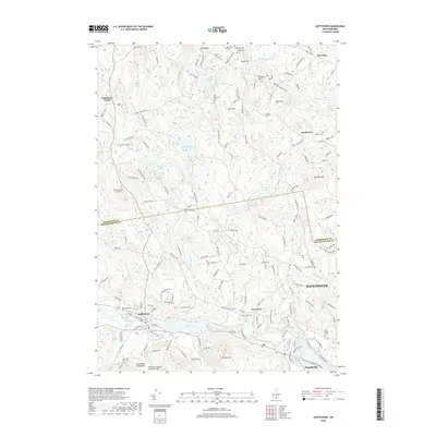
 1969 Goffstown1971 Print · USGSGoffstown and Dunbarton are captured here in the late sixties as the Piscataquog valley balanced its industrial rail heritage with residential growth. Genealogists can trace family plots in Westlawn Cem or Holy Trinity Cemetery and locate civic landmarks like the County Home.3 unique versions available
 - 1986 Map of Concord
 1986 Concord1986 Print · USGSCentral New Hampshire in the mid-eighties shows a landscape of river-valley cities and rural villages connected by the growing interstate system. Genealogists and historians can trace old community centers like Gilmanton Ironworks or follow the Boston and Maine Railroad through Concord and Tilton.
 - 1988 Map of Concord
 1988 Concord1988 Print · USGSCentral New Hampshire in the late eighties centers on the industrial and political hub of Concord. Researchers can trace the Boston and Maine RR along the Merrimack River or locate recreation landmarks like Bear Brook State Park and Massabesic Lake.
 - 1995 Map of Goffstown, 1999 Print
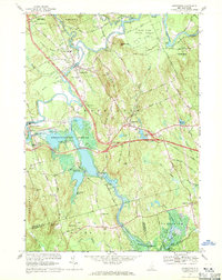
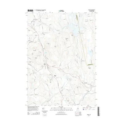
 1995 Goffstown1999 Print · USGSMerrimack County in the mid-1990s shows a transition from river-valley settlements to upland pond and hill country. Researchers can trace local history through sites like Holy Trinity Cemetery, the old crossroads at Dunbarton Center, and industrial landmarks near Goffstown.
 - 1995 Map of Hopkinton, 1999 Print
 1995 Hopkinton1999 Print · USGSMerrimack County during the 1990s shows a landscape shaped by the Contoocook River and major water control projects. Researchers can trace historic cemeteries like Davisville Cem, the rail lines of the Contoocook Valley Railroad, and local landmarks like the Maple Street Sch.
 - 1995 Map of Weare, 1999 Print
 1995 Weare1999 Print · USGSHillsborough County villages and the Piscataquog valley are captured here in the mid-nineties. Genealogists and local historians can trace the Old Railroad Grade past Tavern Village or locate family plots at Quaker Cem and Pine Grove Cem.
 - 2012 Map of Weare, 2012 Print
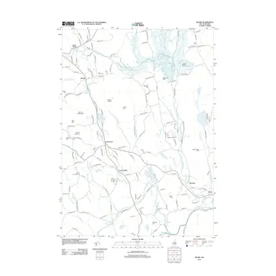 2012 Weare2012 Print · USGSCovers Dunbarton, including Goffstown, Weare, and other nearby areas
 - 2012 Map of Hopkinton, 2012 Print
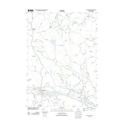
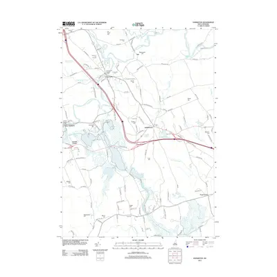 2012 Hopkinton2012 Print · USGSCovers Dunbarton, including Concord, Weare, and other nearby areas
 - 2012 Map of Goffstown, 2012 Print
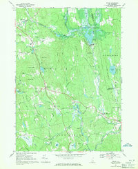
 2012 Goffstown2012 Print · USGSCovers Dunbarton, including Manchester, Goffstown, and other nearby areas
 - 2012 Map of Concord, 2012 Print
 2012 Concord2012 Print · USGSCovers Dunbarton, including Concord, Bow, and other nearby areas
 - 2015 Map of Weare, 2015 Print
 2015 Weare2015 Print · USGSCovers Dunbarton, including Goffstown, Weare, and other nearby areas
 - 2015 Map of Goffstown, 2015 Print
 2015 Goffstown2015 Print · USGSCovers Dunbarton, including Manchester, Goffstown, and other nearby areas
 - 2015 Map of Hopkinton, 2015 Print
 2015 Hopkinton2015 Print · USGSCovers Dunbarton, including Concord, Weare, and other nearby areas
 - 2015 Map of Concord, 2015 Print
 2015 Concord2015 Print · USGSCovers Dunbarton, including Concord, Bow, and other nearby areas
 - 2018 Map of Weare, 2018 Print
 2018 Weare2018 Print · USGSCovers Dunbarton, including Goffstown, Weare, and other nearby areas
 - 2018 Map of Goffstown, 2018 Print
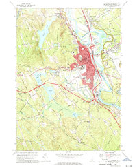
 2018 Goffstown2018 Print · USGSCovers Dunbarton, including Manchester, Goffstown, and other nearby areas
Showing maps 1-25 of 35
Top cities near Dunbarton
- Manchester historical maps
- Concord historical maps
- Merrimack historical maps
- Londonderry historical maps
- Bedford historical maps
- Goffstown historical maps
See more
Top neighborhoods of Dunbarton
Frequently asked questions
- What are the different types of historical maps available for Dunbarton?
- What is the oldest map of Dunbarton?
- Where can I purchase historical maps of Dunbarton for my home or office?
- Where can I download high-res historical maps of Dunbarton?
- Are there historical topographic maps available for Dunbarton?
- Is there historical aerial imagery available for Dunbarton?
- Where are historical maps of Dunbarton sourced from?