2020s Maps of Allenstown, New Hampshire
Explore 8 historic maps of Allenstown from the 2020s. These maps offer a rare glimpse into what life looked like during the 2020s — showing old roads, neighborhoods, homes, and landmarks that have changed or disappeared over time.
Whether you're researching your family's past, planning a metal detecting trip, or studying how Allenstown's landscape evolved across the 2020s, these high-resolution maps are a powerful tool for exploring the history of this region.
- Focus on a specific era: All maps on this page are from the 2020s, giving you a focused view of this time period.
- See what’s changed: Compare century-old streets, trails, and buildings to today's modern landscape using overlays and satellite layers.
- Research with precision: Use these maps for genealogy, historical research, land use analysis, or educational projects.
- View, download, or print: Maps are fully viewable online in high resolution, and can be downloaded or printed for your own records.
Start exploring Allenstown's history through authentic maps from the 2020s. This is your window into the past.
Allenstown, NH maps
(8)- 2021 Map of Candia, 2021 Print
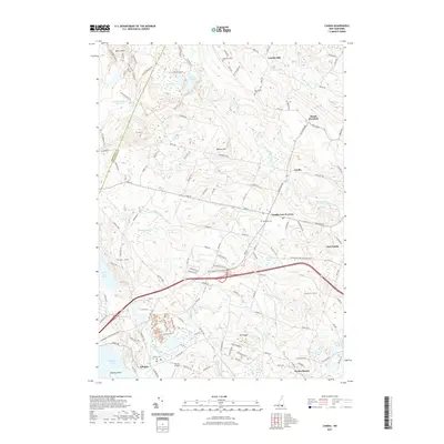 2021 Candia2021 Print · USGSCovers Allenstown, including Hooksett, Auburn, and other nearby areas
 - 2021 Map of Gossville, 2021 Print
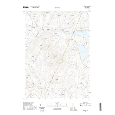 2021 Gossville2021 Print · USGSCovers Allenstown, including Epsom, Deerfield, and other nearby areas
 - 2021 Map of Suncook, 2021 Print
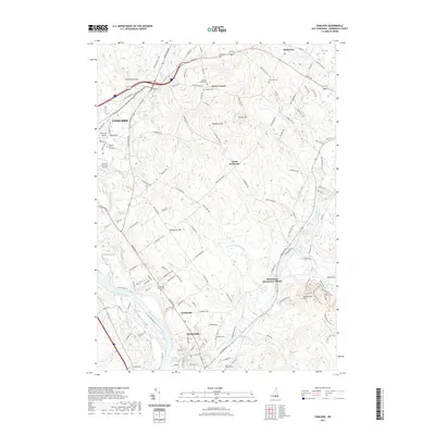 2021 Suncook2021 Print · USGSCovers Allenstown, including Concord, Bow, and other nearby areas
 - 2021 Map of Manchester North, 2021 Print
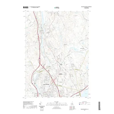 2021 Manchester North2021 Print · USGSCovers Allenstown, including Manchester, Hooksett, and other nearby areas
 - 2024 Map of Gossville, 2024 Print
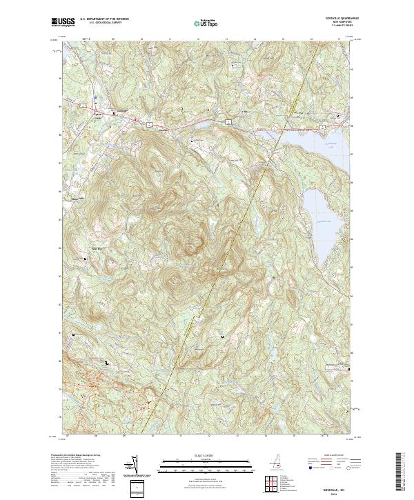 2024 Gossville2024 Print · USGSMerrimack County’s upland terrain and river valleys are captured here in the early twenty-first century. Researchers can trace ancestral sites from Gossville Cem to New Rye and locate family landmarks like Kenison Corner or McClary Hill.
 - 2024 Map of Candia, 2024 Print
 2024 Candia2024 Print · USGSRockingham County at the contemporary moment preserves a landscape of traditional New Hampshire crossroads and quiet water bodies. Genealogists and local historians can trace family burial sites like Granite Cem and Woodman Cem or explore the shoreline of Massabesic Lake and Spruce Pond.
 - 2024 Map of Manchester North, 2024 Print
 2024 Manchester North2024 Print · USGSThe Merrimack River valley north of Manchester shows its modern suburban character alongside deep-rooted local history in this recent survey. Researchers can locate several historic burial grounds like Riverside Cem or trace the path of the Inactive RR Trl near The Pinnacle.
 - 2024 Map of Suncook, 2024 Print
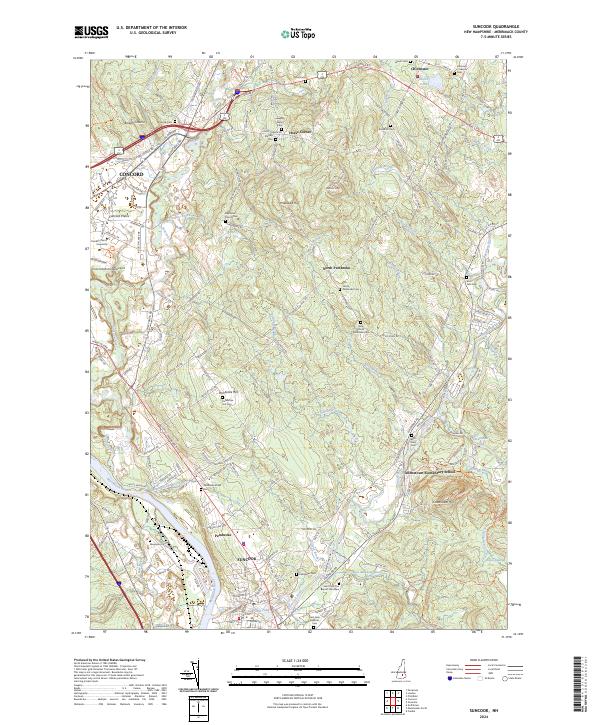 2024 Suncook2024 Print · USGSThe Merrimack and Suncook Rivers define this New Hampshire landscape as it appeared in recent years. Genealogists and historians can trace numerous family burial sites like Dearborn French Cem and Stanley Cem across the hills of Pembroke Hill and Horse Corner.
End of results
Showing maps 1-8 of 8
Top cities near Allenstown
- Manchester historical maps
- Concord historical maps
- Derry historical maps
- Londonderry historical maps
- Bedford historical maps
- Goffstown historical maps
See more
Top neighborhoods of Allenstown
Frequently asked questions
- What are the different types of historical maps available for Allenstown?
- What is the oldest map of Allenstown?
- Where can I purchase historical maps of Allenstown for my home or office?
- Where can I download high-res historical maps of Allenstown?
- Are there historical topographic maps available for Allenstown?
- Is there historical aerial imagery available for Allenstown?
- Where are historical maps of Allenstown sourced from?