2000s (21st Century) Maps of Pembroke, New Hampshire
Explore 10 historic maps of Pembroke from the 2000s (21st Century). These maps offer a rare glimpse into what life looked like during the 2000s — showing old roads, neighborhoods, homes, and landmarks that have changed or disappeared over time.
Whether you're researching your family's past, planning a metal detecting trip, or studying how Pembroke's landscape evolved across the 2000s, these high-resolution maps are a powerful tool for exploring the history of this region.
- Focus on a specific era: All maps on this page are from the 2000s, giving you a focused view of this time period.
- See what’s changed: Compare century-old streets, trails, and buildings to today's modern landscape using overlays and satellite layers.
- Research with precision: Use these maps for genealogy, historical research, land use analysis, or educational projects.
- View, download, or print: Maps are fully viewable online in high resolution, and can be downloaded or printed for your own records.
Start exploring Pembroke's history through authentic maps from the 2000s. This is your window into the past.
Pembroke, NH maps
(10)- 2012 Map of Suncook, 2012 Print
 2012 Suncook2012 Print · USGSCovers Pembroke, including Concord, Bow, and other nearby areas
 - 2012 Map of Concord, 2012 Print
 2012 Concord2012 Print · USGSCovers Pembroke, including Concord, Bow, and other nearby areas
 - 2015 Map of Suncook, 2015 Print
 2015 Suncook2015 Print · USGSCovers Pembroke, including Concord, Bow, and other nearby areas
 - 2015 Map of Concord, 2015 Print
 2015 Concord2015 Print · USGSCovers Pembroke, including Concord, Bow, and other nearby areas
 - 2018 Map of Concord, 2018 Print
 2018 Concord2018 Print · USGSCovers Pembroke, including Concord, Bow, and other nearby areas
 - 2018 Map of Suncook, 2018 Print
 2018 Suncook2018 Print · USGSCovers Pembroke, including Concord, Bow, and other nearby areas
 - 2021 Map of Concord, 2021 Print
 2021 Concord2021 Print · USGSCovers Pembroke, including Concord, Bow, and other nearby areas
 - 2021 Map of Suncook, 2021 Print
 2021 Suncook2021 Print · USGSCovers Pembroke, including Concord, Bow, and other nearby areas
 - 2024 Map of Concord, 2024 Print
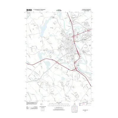
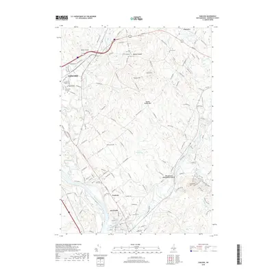
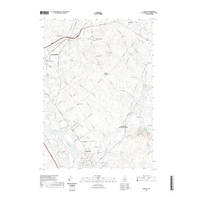
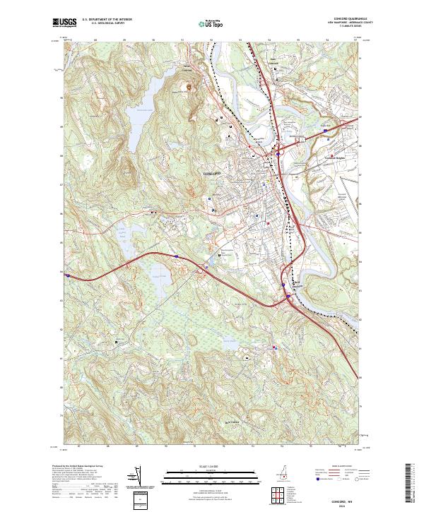 2024 Concord2024 Print · USGSConcord and the Merrimack River valley are captured here in the early twenty-first century, showing the intersection of state government and river-based geography. Researchers can find long-standing landmarks like Blossom Hill Cem, the Concord & Claremont RR, and the Millville Cem.
 - 2024 Map of Suncook, 2024 Print
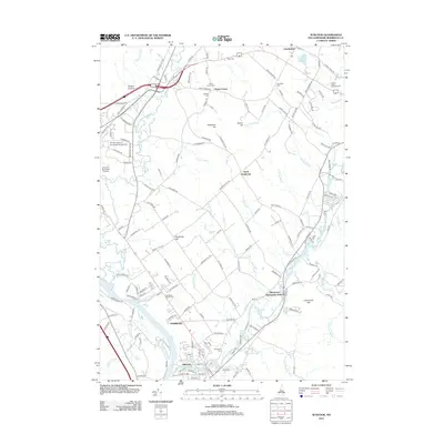
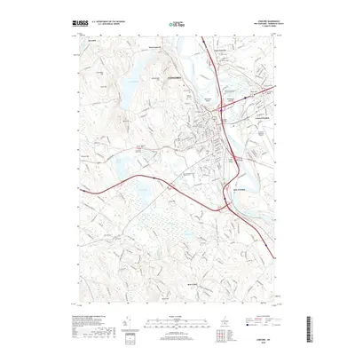
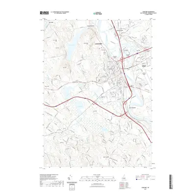
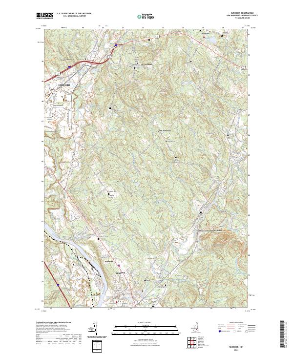 2024 Suncook2024 Print · USGSThe Merrimack and Suncook Rivers define this New Hampshire landscape as it appeared in recent years. Genealogists and historians can trace numerous family burial sites like Dearborn French Cem and Stanley Cem across the hills of Pembroke Hill and Horse Corner.
End of results
Showing maps 1-10 of 10
Top cities near Pembroke
- Manchester historical maps
- Concord historical maps
- Bedford historical maps
- Goffstown historical maps
- Hooksett historical maps
- Weare historical maps
See more
Top neighborhoods of Pembroke
Frequently asked questions
- What are the different types of historical maps available for Pembroke?
- What is the oldest map of Pembroke?
- Where can I purchase historical maps of Pembroke for my home or office?
- Where can I download high-res historical maps of Pembroke?
- Are there historical topographic maps available for Pembroke?
- Is there historical aerial imagery available for Pembroke?
- Where are historical maps of Pembroke sourced from?