Loading...
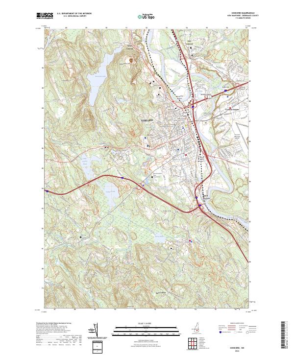
Loading map...2024 Map of Concord
USGS Topo · Published 2024About this map
The Merrimack River serves as the central artery for this contemporary survey of New Hampshire’s capital, where the institutional footprint of the state government meets the industrial and transport history of the valley. From the New Hampshire Supreme Court to the Merrimack County Courthouse, the city's civic center is well-defined, while the surrounding hills like Rattlesnake Hill and Pine Hill provide a glimpse into the terrain that hemmed in early development.
Find a feature on this map
247 named features on this map. Tap any name to fly to it.
Don’t see what you’re looking for? This feature index may not catch every label — zoom into the map to look around manually.
Map Details
Date Portrayed2024
Date Published2024
PublisherU.S. Geological Survey
Map TypeTopographic
Scale1:24000
Physical Dimensions24 x 29 inches
Editions of this 2024 Concord Map
This is the sole edition of this map. No revisions or reprints were ever made.
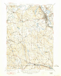
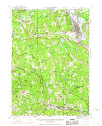
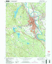
Historical Maps of Pembroke Through Time
6 maps found


Featured Locations
Source Details
SourceU.S. Geological Survey
CopyrightPublic Domain