Old Maps of Glen Hill, Hampton for Genealogy
Trace your family roots with 18 historic maps of Glen Hill. These high-res maps reveal old neighborhoods, homesites, landmarks, and streets — helping you uncover where your ancestors lived and how the area evolved over time.
- Explore historic neighborhoods: Identify where your relatives may have lived in the 1800s or 1900s.
- Compare maps over time: Trace the changes in streets, buildings, and landmarks for multi-generational research.
- Perfect for genealogy & ancestry research: Used by family historians and researchers to map out lineage and migration.
These maps are an incredible resource for exploring your personal connection to Glen Hill's past.
Glen Hill, Hampton maps
(18)- 1888 Map of Newburyport
 1888 Newburyport1888 Print · USGSCovers Glen Hill, including Haverhill, Newburyport, and other nearby areas
 - 1890 Map of Newburyport
 1890 Newburyport1890 Print · USGSCovers Glen Hill, including Haverhill, Newburyport, and other nearby areas
 - 1894 Map of Newburyport
 1894 Newburyport1894 Print · USGSCovers Glen Hill, including Haverhill, Newburyport, and other nearby areas7 unique versions available
 - 1932 Map of Newburyport
 1932 Newburyport1932 Print · USGSCovers Glen Hill, including Haverhill, Newburyport, and other nearby areas4 unique versions available
 - 1934 Map of Exeter
 1934 Exeter1934 Print · USGSCovers Glen Hill, including Haverhill, Newburyport, and other nearby areas5 unique versions available
 - 1943 Map of Cape Ann
 1943 Cape Ann1943 Print · USGSCovers Glen Hill, including Lynn, Haverhill, and other nearby areas
 - 1944 Map of Hampton
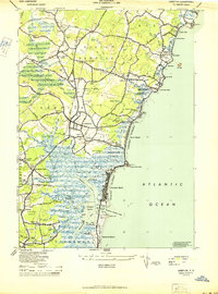 1944 Hampton1944 Print · USGSCovers Glen Hill, including Hampton, Salisbury, and other nearby areas2 unique versions available
 - 1948 Map of Boston
 1948 Boston1948 Print · USGSCovers Glen Hill, including Boston, Worcester, and other nearby areas2 unique versions available
 - 1956 Map of Boston, 1967 Print
 1956 Boston1967 Print · USGSCovers Glen Hill, including Boston, Worcester, and other nearby areas6 unique versions available
 - 1957 Map of Hampton, 1959 Print
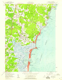 1957 Hampton1959 Print · USGSCovers Glen Hill, including Hampton, Salisbury, and other nearby areas5 unique versions available
 - 1958 Map of Boston
 1958 Boston1958 Print · USGSCovers Glen Hill, including Boston, Worcester, and other nearby areas2 unique versions available
 - 1961 Map of Boston
 1961 Boston1961 Print · USGSCovers Glen Hill, including Boston, Worcester, and other nearby areas2 unique versions available
 - 1977 Map of Hampton, 1981 Print
 1977 Hampton1981 Print · USGSCovers Glen Hill, including Hampton, Salisbury, and other nearby areas
 - 1984 Map of Gloucester
 1984 Gloucester1984 Print · USGSCovers Glen Hill, including Lynn, Haverhill, and other nearby areas
 - 1985 Map of Exeter
 1985 Exeter1985 Print · USGSCovers Glen Hill, including Amesbury, Hampton, and other nearby areas
 - 1987 Map of Exeter
 1987 Exeter1987 Print · USGSCovers Glen Hill, including Amesbury, Hampton, and other nearby areas
 - 1992 Map of Exeter, 1998 Print
 1992 Exeter1998 Print · USGSCovers Glen Hill, including Amesbury, Hampton, and other nearby areas
 - 2024 Map of Hampton, 2024 Print
 2024 Hampton2024 Print · USGSCovers Glen Hill, including Hampton, Salisbury, and other nearby areas
End of results
Showing maps 1-18 of 18
Frequently asked questions
- What are the different types of historical maps available for Glen Hill?
- What is the oldest map of Glen Hill?
- Where can I purchase historical maps of Glen Hill for my home or office?
- Where can I download high-res historical maps of Glen Hill?
- Are there historical topographic maps available for Glen Hill?
- Is there historical aerial imagery available for Glen Hill?
- Where are historical maps of Glen Hill sourced from?