2000s (21st Century) Maps of Plaistow, New Hampshire
Explore 21 historic maps of Plaistow from the 2000s (21st Century). These maps offer a rare glimpse into what life looked like during the 2000s — showing old roads, neighborhoods, homes, and landmarks that have changed or disappeared over time.
Whether you're researching your family's past, planning a metal detecting trip, or studying how Plaistow's landscape evolved across the 2000s, these high-resolution maps are a powerful tool for exploring the history of this region.
- Focus on a specific era: All maps on this page are from the 2000s, giving you a focused view of this time period.
- See what’s changed: Compare century-old streets, trails, and buildings to today's modern landscape using overlays and satellite layers.
- Research with precision: Use these maps for genealogy, historical research, land use analysis, or educational projects.
- View, download, or print: Maps are fully viewable online in high resolution, and can be downloaded or printed for your own records.
Start exploring Plaistow's history through authentic maps from the 2000s. This is your window into the past.
Plaistow, NH maps
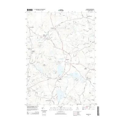
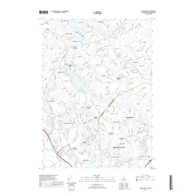
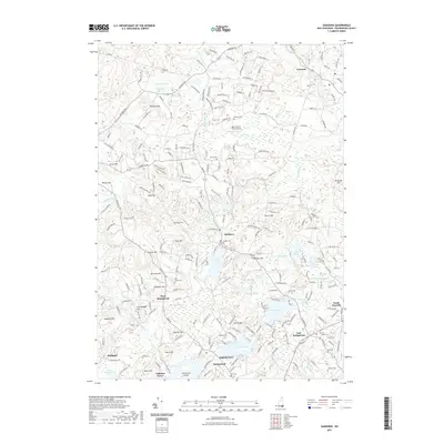
(21)- 2012 Map of Kingston, 2012 Print
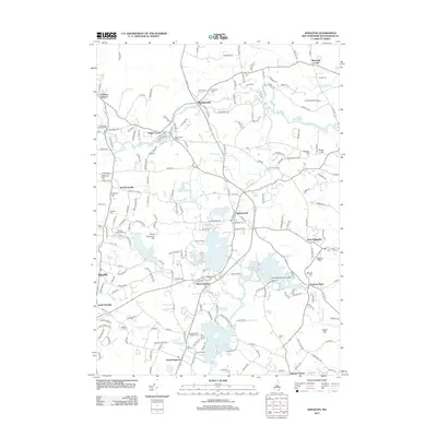 2012 Kingston2012 Print · USGSCovers Plaistow, including Exeter, Hampstead, and other nearby areas
 - 2012 Map of Salem Depot, 2012 Print
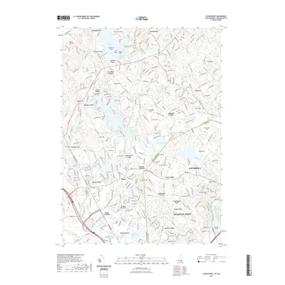
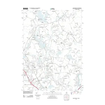 2012 Salem Depot2012 Print · USGSCovers Plaistow, including Haverhill, Methuen, and other nearby areas
 - 2012 Map of Sandown, 2012 Print
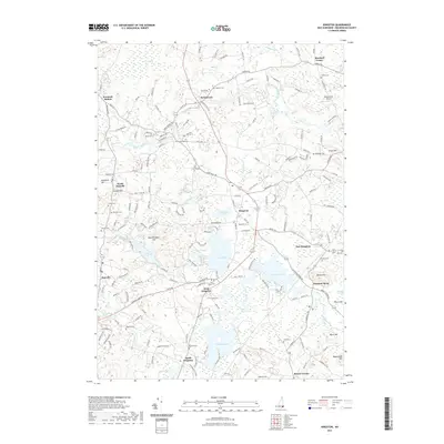
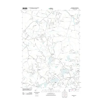 2012 Sandown2012 Print · USGSCovers Plaistow, including Derry, Hampstead, and other nearby areas
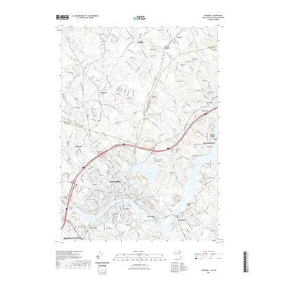
 - 2012 Map of Haverhill, 2012 Print
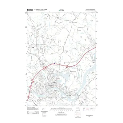 2012 Haverhill2012 Print · USGSCovers Plaistow, including Haverhill, Methuen, and other nearby areas
 - 2015 Map of Kingston, 2015 Print
 2015 Kingston2015 Print · USGSCovers Plaistow, including Exeter, Hampstead, and other nearby areas
 - 2015 Map of Sandown, 2015 Print
 2015 Sandown2015 Print · USGSCovers Plaistow, including Derry, Hampstead, and other nearby areas
 - 2015 Map of Salem Depot, 2015 Print
 2015 Salem Depot2015 Print · USGSCovers Plaistow, including Haverhill, Methuen, and other nearby areas
 - 2015 Map of Haverhill, 2015 Print
 2015 Haverhill2015 Print · USGSCovers Plaistow, including Haverhill, Methuen, and other nearby areas
 - 2018 Map of Salem Depot, 2018 Print
 2018 Salem Depot2018 Print · USGSCovers Plaistow, including Haverhill, Methuen, and other nearby areas
 - 2018 Map of Kingston, 2018 Print
 2018 Kingston2018 Print · USGSCovers Plaistow, including Exeter, Hampstead, and other nearby areas
 - 2018 Map of Sandown, 2018 Print
 2018 Sandown2018 Print · USGSCovers Plaistow, including Derry, Hampstead, and other nearby areas
 - 2018 Map of Haverhill, 2018 Print
 2018 Haverhill2018 Print · USGSCovers Plaistow, including Haverhill, Methuen, and other nearby areas
 - 2021 Map of Sandown, 2021 Print
 2021 Sandown2021 Print · USGSCovers Plaistow, including Derry, Hampstead, and other nearby areas
 - 2021 Map of Salem Depot, 2021 Print
 2021 Salem Depot2021 Print · USGSCovers Plaistow, including Haverhill, Methuen, and other nearby areas
 - 2021 Map of Kingston, 2021 Print
 2021 Kingston2021 Print · USGSCovers Plaistow, including Exeter, Hampstead, and other nearby areas
 - 2021 Map of Haverhill, 2021 Print
 2021 Haverhill2021 Print · USGSCovers Plaistow, including Haverhill, Methuen, and other nearby areas
 - 2023 Map of Haverhill, 2023 Print
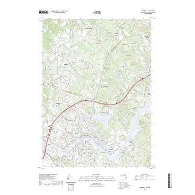 2023 Haverhill2023 Print · USGSCovers Plaistow, including Haverhill, Methuen, and other nearby areas
 - 2024 Map of Sandown, 2024 Print
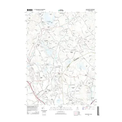
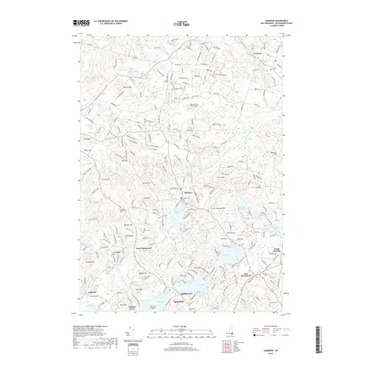
 2024 Sandown2024 Print · USGSRockingham County at the start of the 2020s shows a landscape where historic village centers meet the sprawling waters of Big Island Pond and Angle Pond. Researchers can trace old family burial grounds like Sanborn Cem or follow the route of the Rockingham Rec Rail Trl.
 - 2024 Map of Kingston, 2024 Print
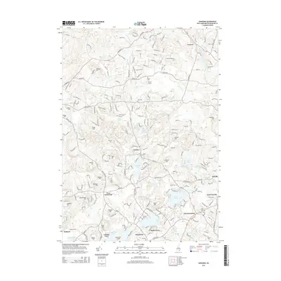
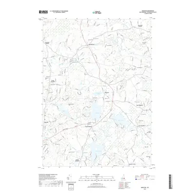
 2024 Kingston2024 Print · USGSRockingham County at the start of the 2020s shows a landscape where historic town centers and rural corners remain well-defined. Genealogists can trace family lines across numerous burial sites like Plains Cem and Mill Hill Cem, or locate landmarks like Fremont Station.
 - 2024 Map of Salem Depot, 2024 Print
 2024 Salem Depot2024 Print · USGSThe Spicket River valley comes into focus in this contemporary survey of the New Hampshire and Massachusetts borderlands. Genealogists and local historians can trace burial sites like Salem Center Burying Ground and old rail corridors like the Inactive RR TRL.
 - 2024 Map of Haverhill, 2024 Print
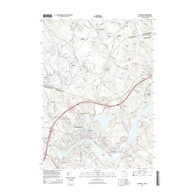
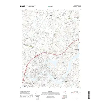
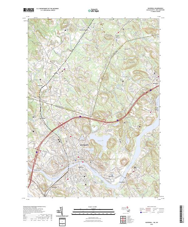 2024 Haverhill2024 Print · USGSSettled along the Merrimack River, this area shows the historic border between Massachusetts and New Hampshire. Genealogists can trace family sites at Linwood Cem or explore the rail-linked hamlets of Plaistow and Newton Junction.
End of results
Showing maps 1-21 of 21
Top cities near Plaistow
- Lowell historical maps
- Lawrence historical maps
- Haverhill historical maps
- Methuen historical maps
- Derry historical maps
- Chelmsford historical maps
See more
Top neighborhoods of Plaistow
Frequently asked questions
- What are the different types of historical maps available for Plaistow?
- What is the oldest map of Plaistow?
- Where can I purchase historical maps of Plaistow for my home or office?
- Where can I download high-res historical maps of Plaistow?
- Are there historical topographic maps available for Plaistow?
- Is there historical aerial imagery available for Plaistow?
- Where are historical maps of Plaistow sourced from?