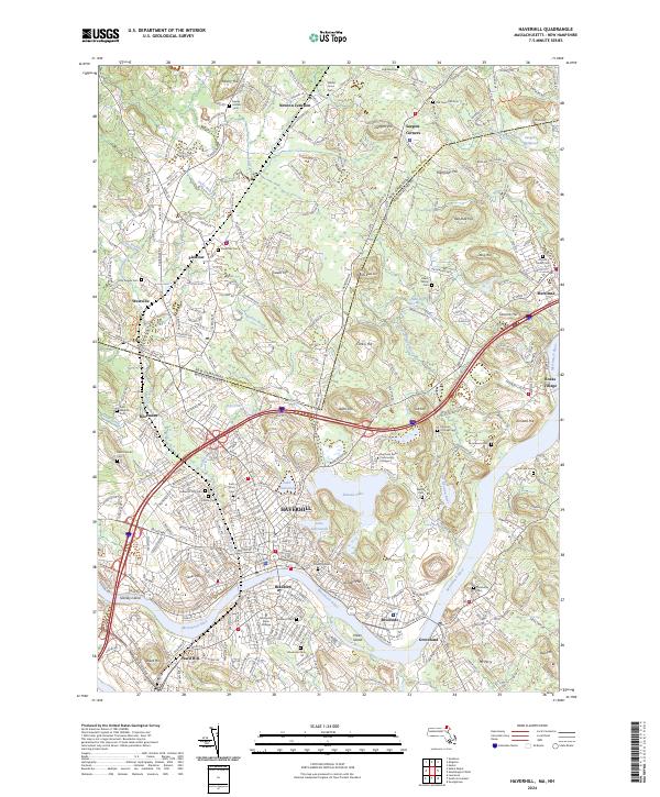
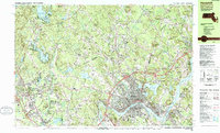
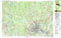
2024 Map of Haverhill
USGS Topo · Published 2024About this map
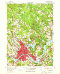
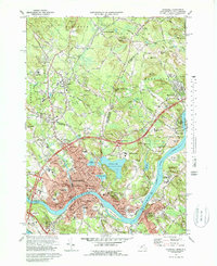
The Merrimack River serves as the central artery for this borderland corridor, dividing the industrial and residential heart of Haverhill from the southern communities of Bradford and Groveland. The landscape is a complex mix of historic urban density and significant water features, including Kenoza Lake and Lake Saltonstall, which sit just east of the city center. Numerous burial grounds, such as the Haverhill City Cem and Linwood Cem, reflect generations of local history, while modern institutions like Northern Essex Community College mark the area's continued development. Northward, the map crosses the state line into New Hampshire, where the settlements of Plaistow and Newton Junction are linked by the Mbta rail line, illustrating the long-standing transit connection between the Merrimack Valley and the interior.
Find a feature on this map
63 named features on this map. Tap any name to fly to it.
Don’t see what you’re looking for? This feature index may not catch every label — zoom into the map to look around manually.
Map Details
Editions of this 2024 Haverhill Map
This is the sole edition of this map. No revisions or reprints were ever made.
Historical Maps of Plaistow Through Time
12 maps found

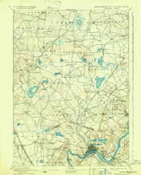
1888 Haverhill
Essex County, MA

1890 Haverhill
Essex County, MA
1893 Haverhill
Essex County, MA
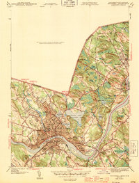
1943 Haverhill
Essex County, MA
1952 Haverhill
Essex County, MA
1955 Haverhill
Essex County, MA
1956 Haverhill
Essex County, MA
1972 Haverhill
Essex County, MA
1977 Haverhill
Essex County, MA
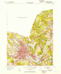
1985 Haverhill
Essex County, MA
1987 Haverhill
Essex County, MA
2024 Haverhill
Essex County, MA