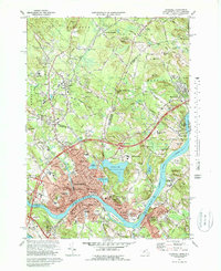
1972 Map of Haverhill
USGS Topo · Published 1988About this map
The Merrimack River serves as the focal point of this 1970s survey, bisecting the urban centers of Haverhill and Bradford. This era shows a landscape where industrial heritage and modern infrastructure meet, with the Boston and Maine Railroad and Interchange 40 of the highway system providing critical transit links. The northern reaches show the transition across the New Hampshire Massachusetts line into Newton Junction and Plastow.
Find a feature on this map
78 named features on this map. Tap any name to fly to it.
Don’t see what you’re looking for? This feature index may not catch every label — zoom into the map to look around manually.
Map Details
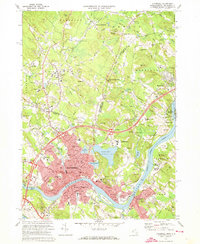
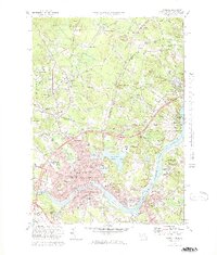
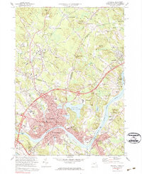
Editions of this 1972 Haverhill Map
4 editions found
Other maps of this area

1886 · Lawrence
USGS Topo · 1:62,500

1888 · Newburyport
USGS Topo · 1:62,500

1888 · Haverhill
USGS Topo · 1:62,500

1888 · Lawrence
USGS Topo · 1:62,500

1888 · Salem
USGS Topo · 1:62,500

1890 · Haverhill
USGS Topo · 1:62,500

1890 · Newburyport
USGS Topo · 1:62,500

1893 · Salem
USGS Topo · 1:62,500

1893 · Lawrence
USGS Topo · 1:62,500

1893 · Haverhill
USGS Topo · 1:62,500