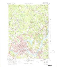
1972 Map of Haverhill
USGS Topo · Published 1979About this map
The Merrimack River serves as the geographic heart of this borderlands region, winding past industrial and residential centers like Haverhill, Bradford, and Groveland. In the early 1970s, the landscape reflects a complex layering of colonial heritage and modern infrastructure, where the Boston and Maine Railroad still tracks through Newton Junction and Plaistow while Interstate 495 cuts through the hills to the south. Local history is anchored by the Whittier Birthplace near Job Hill and several historic burial grounds, including the Children of Israel Cem and Linwood Cem. North of the river, the terrain is defined by glacial kettle lakes such as Kenoza Lake and Lake Pentucket, which provided natural breaks in the urban expansion of the era. The presence of Haverhill Airport and Bradford College further highlights the area's development as an educational and transportation hub.
Find a feature on this map
126 named features on this map. Tap any name to fly to it.
Don’t see what you’re looking for? This feature index may not catch every label — zoom into the map to look around manually.
Map Details
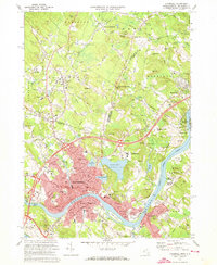
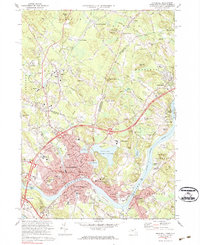
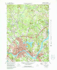
Editions of this 1972 Haverhill Map
4 editions found
Other maps of this area

1886 · Lawrence
USGS Topo · 1:62,500

1888 · Newburyport
USGS Topo · 1:62,500

1888 · Haverhill
USGS Topo · 1:62,500

1888 · Lawrence
USGS Topo · 1:62,500

1888 · Salem
USGS Topo · 1:62,500

1890 · Haverhill
USGS Topo · 1:62,500

1890 · Newburyport
USGS Topo · 1:62,500

1893 · Salem
USGS Topo · 1:62,500

1893 · Lawrence
USGS Topo · 1:62,500

1893 · Haverhill
USGS Topo · 1:62,500