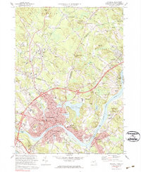
1972 Map of Haverhill
USGS Topo · Published 1984About this map
The Merrimack River bends through this early 1970s landscape, anchoring a region of industrial heritage and residential expansion across the New Hampshire Massachusetts border. In Haverhill, the dense urban core gives way to landmarks of local significance, including the Whittier Birthplace and the educational campus of Northern Essex Community College. The era's transportation network is prominently defined by several major junctions, such as Interchange 40, which facilitate movement between the historic river towns of Groveland and Bradford.
Find a feature on this map
97 named features on this map. Tap any name to fly to it.
Don’t see what you’re looking for? This feature index may not catch every label — zoom into the map to look around manually.
Map Details
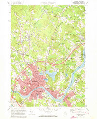
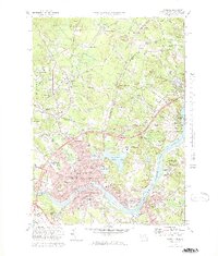
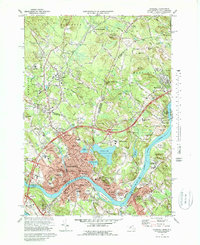
Editions of this 1972 Haverhill Map
4 editions found
Other maps of this area

1886 · Lawrence
USGS Topo · 1:62,500

1888 · Newburyport
USGS Topo · 1:62,500

1888 · Haverhill
USGS Topo · 1:62,500

1888 · Lawrence
USGS Topo · 1:62,500

1888 · Salem
USGS Topo · 1:62,500

1890 · Haverhill
USGS Topo · 1:62,500

1890 · Newburyport
USGS Topo · 1:62,500

1893 · Salem
USGS Topo · 1:62,500

1893 · Lawrence
USGS Topo · 1:62,500

1893 · Haverhill
USGS Topo · 1:62,500