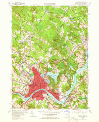
1955 Map of Haverhill
USGS Topo · Published 1966About this map
The Merrimack River serves as the industrial and geographic anchor for this mid-century survey, dividing the densely built urban core of Haverhill from the Bradford district to the south. The map documents a mature manufacturing city at its peak, characterized by a tight concentration of civic institutions like the City Hall and numerous neighborhood schools such as the Portland St Sch and Tilton Sch. To the north and east, the landscape transitions into a series of drumlin-like hills, including Brandy Brow Hill and Red Oak Hill, interspersed with natural water bodies like Lake Pentucket and the sprawling Winnekenni Park.
Find a feature on this map
89 named features on this map. Tap any name to fly to it.
Don’t see what you’re looking for? This feature index may not catch every label — zoom into the map to look around manually.
Map Details
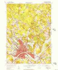
Editions of this 1955 Haverhill Map
2 editions found
Other maps of this area

1886 · Lawrence
USGS Topo · 1:62,500

1888 · Newburyport
USGS Topo · 1:62,500

1888 · Haverhill
USGS Topo · 1:62,500

1888 · Lawrence
USGS Topo · 1:62,500

1888 · Salem
USGS Topo · 1:62,500

1890 · Haverhill
USGS Topo · 1:62,500

1890 · Newburyport
USGS Topo · 1:62,500

1893 · Salem
USGS Topo · 1:62,500

1893 · Lawrence
USGS Topo · 1:62,500

1893 · Haverhill
USGS Topo · 1:62,500