1900s (20th Century) Maps of Somersworth, New Hampshire
Explore 23 historic maps of Somersworth from the 1900s (20th Century). These maps offer a rare glimpse into what life looked like during the 1900s — showing old roads, neighborhoods, homes, and landmarks that have changed or disappeared over time.
Whether you're researching your family's past, planning a metal detecting trip, or studying how Somersworth's landscape evolved across the 1900s, these high-resolution maps are a powerful tool for exploring the history of this region.
- Focus on a specific era: All maps on this page are from the 1900s, giving you a focused view of this time period.
- See what’s changed: Compare century-old streets, trails, and buildings to today's modern landscape using overlays and satellite layers.
- Research with precision: Use these maps for genealogy, historical research, land use analysis, or educational projects.
- View, download, or print: Maps are fully viewable online in high resolution, and can be downloaded or printed for your own records.
Start exploring Somersworth's history through authentic maps from the 1900s. This is your window into the past.
Somersworth, NH maps
(23)- 1916 Map of Dover
 1916 Dover1916 Print · USGSCoastal New Hampshire and the Maine borderlands are captured here during the height of the rail era. Genealogists can locate dozens of district schools like Madbury School and trace the paths of the Boston and Maine Railroad through Portsmouth and Dover.2 unique versions available
 - 1918 Map of Dover
 1918 Dover1918 Print · USGSCoastal New Hampshire and the Maine borderlands are captured here during the First World War era, showing a landscape defined by tidal rivers and rail networks. Genealogists can trace family landmarks and early civic life through the State College in Durham, the Kittery Depot, and local schoolhouses like Marshwood.6 unique versions available
 - 1933 Map of Berwick
 1933 Berwick1933 Print · USGSThe Salmon Falls River valley in the early thirties was a bustling corridor of rail and river industry between New Hampshire and Maine. Researchers can trace the path of the Boston and Maine RR through Rochester or locate rural landmarks like Hayes Sta and Walnut Grove Ch.
 - 1937 Map of Berwick
 1937 Berwick1937 Print · USGSThe Maine-New Hampshire borderlands are captured here in the mid-1930s, showing a landscape defined by the Salmon Falls River and the region's busy rail lines. Researchers can trace old routes to North Rochester PO, Hayes Sta, and the school at S Milton Sch.3 unique versions available
 - 1941 Map of Dover
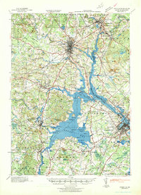 1941 Dover1941 Print · USGSCoastal New Hampshire and the Maine borderlands are captured here just before the mobilization of the early 1940s. Genealogists can trace family lands near Garrison Hill, old district schools like Witchtrot Sch, and the rail depots at Greenland Village Sta.
 - 1941 Map of Berwick, 1957 Print
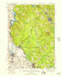 1941 Berwick1957 Print · USGSThe borderlands of Maine and New Hampshire come alive in this mid-century survey of the industrial and rural landscape along the Salmon Falls River. Researchers can trace the Boston and Maine rail line through Rindgemere Sta or locate family landmarks like Miller Corner and Lincoln Sch.
 - 1944 Map of Berwick
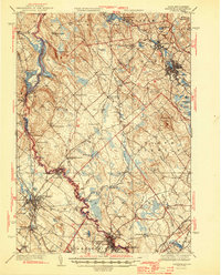 1944 Berwick1944 Print · USGSThe Maine-New Hampshire borderlands are captured here during the wartime era, showing the industrial and rural landscapes of York and Strafford counties. Genealogists can trace family names at Blaisdell Corners or locate the Evergreen Cem and numerous rural schools like Washington Sch.3 unique versions available
 - 1949 Map of Portland
 1949 Portland1949 Print · USGSCoastal Maine and the New Hampshire interior are shown in detail during the late forties, from the bustling harbors to the lakeside villages. Researchers can trace historical rail networks like the Boston & Maine RR and locate coastal defenses such as Fort Preble.3 unique versions available
 - 1950 Map of Dover East
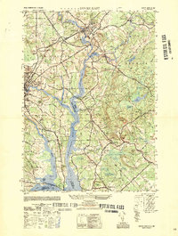 1950 Dover East1950 Print · USGSThe borderlands of New Hampshire and Maine are captured here at mid-century, following the winding Salmon Falls River through a landscape of rail-connected towns. Researchers can trace historic cemeteries and schools such as Pine Hill Cem, Pear Yard School, and the junction at Eliot Depot.
 - 1952 Map of Dover West
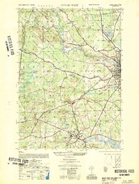 1952 Dover West1952 Print · USGSCoastal New Hampshire's interior during the early 1950s shows a landscape of small townships and rail-connected farms before major highway expansion. Researchers can trace the mid-century footprint of the University of New Hampshire, local landmarks like the Madbury Church, and the route of the Maine Central RR.
 - 1956 Map of Dover East, 1958 Print
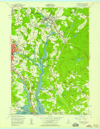 1956 Dover East1958 Print · USGSThe Maine and New Hampshire borderlands are captured here in the mid-fifties, showing the industrial riverfronts and rail junctions of the Piscataqua basin. Researchers can locate family landmarks like Berwick Academy, Pine Hill Cemetery, and the Rollinsford Station during the early days of the turnpike expansion.5 unique versions available
 - 1956 Map of Dover West, 1958 Print
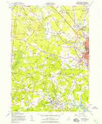 1956 Dover West1958 Print · USGSThe townships of Durham, Madbury, and Barrington are captured in the mid-1950s as the Spaulding Turnpike was still under construction. Genealogists can trace family plots like Layne Cem and Torr Cem, or locate the historic Green Hill Chapel and the early layout of the University of New Hampshire.9 unique versions available
 - 1956 Map of Dover, 1960 Print
 1956 Dover1960 Print · USGSCoastal New Hampshire and the Maine borderlands are captured here during a period of massive transition as modern infrastructure meets historic mill towns. Researchers can trace the development of Pease Air Force Base or locate family roots at Winnicut Mills and Packers Falls Cem.4 unique versions available
 - 1956 Map of Portland, 1963 Print
 1956 Portland1963 Print · USGSSouthern Maine and eastern New Hampshire are captured here in the mid-fifties, during a time of major highway expansion and military growth. You can trace the path of the Maine Turnpike and locate landmarks like the Portsmouth Naval Shipyard and Sebago Lake.4 unique versions available
 - 1958 Map of Somersworth, 1960 Print
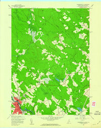 1958 Somersworth1960 Print · USGSSomersworth and Berwick thrive along the state line in the late fifties, showcasing a landscape of river-powered industry and rural homesteads. Genealogists can trace family footprints at Oak Woods Ch, Holy Trinity Sch, and numerous hilltop cemeteries near Beech Ridge.4 unique versions available
 - 1958 Map of Berwick, 1961 Print
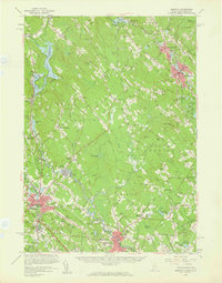 1958 Berwick1961 Print · USGSMid-century York County and Strafford County come to life as the post-war era transforms the river towns of the Maine-New Hampshire border. Researchers can trace the sprawling rail lines of the Boston and Maine Railroad or locate local landmarks like Nasson College, Milton Mills, and St Ignatius Ch.3 unique versions available
 - 1959 Map of Portland
 1959 Portland1959 Print · USGSThe Maine and New Hampshire coastlines meet in this mid-century portrait of maritime commerce and inland rail networks. Researchers can trace the legacy of coastal defense at Fort Williams and follow the historic path of the Maine Central RR through the White Mountain National Forest.2 unique versions available
 - 1963 Map of Portland
 1963 Portland1963 Print · USGSCoastal Maine and New Hampshire thrived as maritime and industrial hubs during the mid-sixties, linked by a dense network of rail and river. Researchers can trace historic transit corridors like the Maine Central RR and locate key sites such as the Portsmouth Naval Shipyard or Pease Air Force Base.3 unique versions available
 - 1977 Map of Dover East, 1979 Print
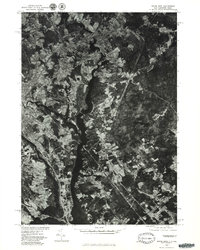 1977 Dover East1979 Print · USGSThe borderlands of New Hampshire and Maine are seen here in the late seventies as the industrial river towns continued their evolution. Researchers can trace the winding Salmon Falls River and the historical footprints of Somersworth and Dover.
 - 1977 Map of Somersworth, 1979 Print
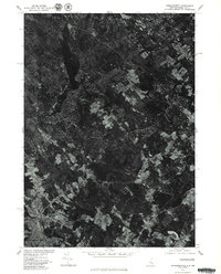 1977 Somersworth1979 Print · USGSThe industrial centers of Somersworth and Berwick appear as they were in the late seventies in this aerial survey. You can trace the actual riverfront development and rural landmarks like the Beaver Dam across the Maine-New Hampshire border.
 - 1983 Map of Rochester, 1984 Print
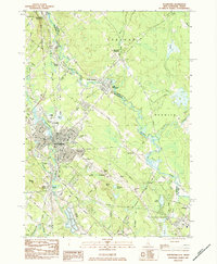 1983 Rochester1984 Print · USGSRochester and the Maine-New Hampshire borderlands are captured here in the early eighties as the region balanced its industrial roots with suburban growth. Researchers can trace family sites like Forest Glade Cem or locate old transit points such as N Rochester (Hayes Sta) and Pickering.2 unique versions available
 - 1985 Map of Kittery, 1986 Print
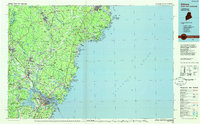 1985 Kittery1986 Print · USGSThe Maine and New Hampshire borderlands are shown here in the mid-eighties, centered on the strategic Piscataqua River harbor. Genealogists and historians can trace the development of coastal towns like York or locate the sprawling Portsmouth Naval Shipyard and Pease Air Force Base.2 unique versions available
 - 1998 Map of Somersworth, 1999 Print
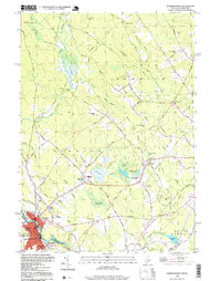 1998 Somersworth1999 Print · USGSSomersworth and Berwick straddle the Maine-New Hampshire state line in the late twentieth century, showing a landscape shaped by the Little River and local industry. Researchers can locate family landmarks like Evergreen Cem, Oak Woods Ch, and the site of Mathews Millpond.
End of results
Showing maps 1-23 of 23
Top cities near Somersworth
- Dover historical maps
- Rochester historical maps
- Sanford historical maps
- Portsmouth historical maps
- York historical maps
- Kennebunk historical maps
See more
Top neighborhoods of Somersworth
Frequently asked questions
- What are the different types of historical maps available for Somersworth?
- What is the oldest map of Somersworth?
- Where can I purchase historical maps of Somersworth for my home or office?
- Where can I download high-res historical maps of Somersworth?
- Are there historical topographic maps available for Somersworth?
- Is there historical aerial imagery available for Somersworth?
- Where are historical maps of Somersworth sourced from?