Old Maps of Absecon, New Jersey for Metal Detecting
Plan your next treasure hunt with 33 historic maps of Absecon. Find old homesites, ghost towns, trails, and gathering spots that may be lost to time — perfect for identifying promising metal detecting locations.
- Locate forgotten sites: Uncover places like long-lost settlements, abandoned rail lines, or gathering spots.
- Plan better hunts: Use map overlays combined with LiDAR or satellite views to narrow in on historically rich areas.
- Made for detectorists: Thousands of hobbyists use these maps to discover relics, coins, and hidden history.
Use these historic maps to boost your research and find new opportunities beneath the surface of Absecon.
Absecon, NJ maps
(33)- 1887 Map of Atlantic City
 1887 Atlantic City1887 Print · USGSCoastal New Jersey in the late 1800s reveals a rapidly growing resort landscape defined by its heavy rail connections and maritime safety network. You can trace the early city grid of Atlantic City, follow the West Jersey and Atlantic Railroad over the marshes, or locate the Absecon Light and shorebound Life Saving Stations.
 - 1890 Map of Great Egg Harbor
 1890 Great Egg Harbor1890 Print · USGSCoastal New Jersey thrived on a network of river landings and new rail lines during the 1880s. Genealogists and local historians can trace family ties through landmarks like Doughty's Mill, Bargaintown, and early outposts like Life Saving Station (29).
 - 1893 Map of Great Egg Harbor
 1893 Great Egg Harbor1893 Print · USGSCoastal New Jersey in the late nineteenth century is captured here as the shoreline transitioned into a tourist and maritime hub. Trace the early development of Ocean City and Somers Point, or locate industrial sites like Doughty Mill and the Fish Factory near the inlet.5 unique versions available
 - 1894 Map of Atlantic City
 1894 Atlantic City1894 Print · USGSAtlantic City and its neighboring coastal hamlets are shown at the height of the late Victorian era. Genealogists and historians can trace the early rail networks like the Camden and Atlantic Railroad or locate family roots in Leeds Point and Oceanville.8 unique versions available
 - 1918 Map of Great Egg Harbor, 1921 Print
 1918 Great Egg Harbor1921 Print · USGSAtlantic County at the close of the Great War reveals a landscape of tidal marshes and pine forests connected by emerging rail lines. Genealogists can locate family-named sites such as Mc Keetown, Steelmans Landing, and the prominent Doughty Mill.
 - 1940 Map of Atlantic City, 1953 Print
 1940 Atlantic City1953 Print · USGSThe New Jersey coastline during the pre-war era is mapped here in detail, showcasing the resort boom and rail connections of the day. Researchers can trace the layout of famous boardwalk landmarks like the Steel Pier and the Pennsylvania-Reading Seashore Lines into the city.
 - 1941 Map of Atlantic City
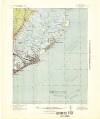 1941 Atlantic City1941 Print · USGSAtlantic City and its neighboring shore towns are captured in the early 1940s, showing a world of grand boardwalk piers and intricate tidal marshlands. Trace the routes of the Pennsylvania-Reading Seashore Lines or locate landmarks like Absecon Light and the Heinz Pier.2 unique versions available
 - 1942 Map of Pleasantville
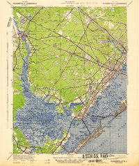 1942 Pleasantville1942 Print · USGSCoastal Atlantic County comes alive in the early 1940s, showing the intricate tidal marshes and railroad towns before modern suburban expansion. Trace the historic Pennsylvania Reading Seashore Lines and find family landmarks in Bargaintown, Scullville, and Mays Landing.2 unique versions available
 - 1943 Map of Pleasantville
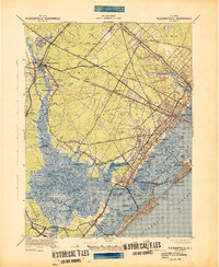 1943 Pleasantville1943 Print · USGSCoastal Atlantic County and the Great Egg Harbor estuary are captured here during the wartime era. Genealogists and historians can trace the rail-and-road economy through McKee City Station or explore established hamlets like English Creek and Scullville.
 - 1946 Map of Wilmington, 1948 Print
 1946 Wilmington1948 Print · USGSThe Delaware Valley and Jersey Shore emerge in this mid-century portrait of a region defined by river commerce and seaside growth. Genealogists and historians can trace the rail networks of the Pennsylvania Railroad, locate early airfields like Dover Airpark, and find river defenses at Fort Delaware.2 unique versions available
 - 1948 Map of Pleasantville
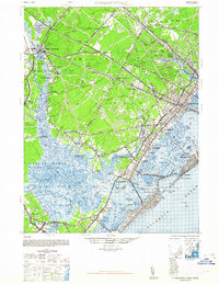 1948 Pleasantville1948 Print · USGSAtlantic County and the Jersey Shore are captured here in the years following the war, as rail lines still linked the interior to the sea. Genealogists and local historians can trace family roots through settlements like Mays Landing, Scullville, and Bargaintown, or locate vanished landmarks like Glen Neath Station.2 unique versions available
 - 1952 Map of Oceanville, 1955 Print
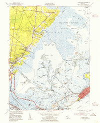 1952 Oceanville1955 Print · USGSThe Atlantic County shoreline in the early fifties reveals a landscape of tidal marshes and growing coastal towns. Genealogists and historians can trace family-named routes like Leeds Point Road or locate landmarks such as the Seaview Country Club and Lily Lake.3 unique versions available
 - 1952 Map of Pleasantville, 1955 Print
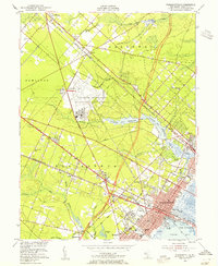 1952 Pleasantville1955 Print · USGSAtlantic County at the dawn of the 1950s reveals a landscape of growing coastal suburbs and significant military aviation. Genealogists and local historians can trace the foundations of Pleasantville and find family landmarks like Sholem Cemetery, the Atlantic City Speedway, and Bargaintown.3 unique versions available
 - 1955 Map of Wilmington
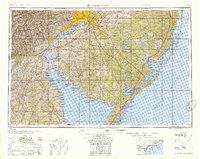 1955 Wilmington1955 Print · USGSThe Delaware Valley and Jersey Shore are seen here during the mid-fifties era of rapid suburban expansion and highway development. You can trace the path of the New Jersey Turnpike, locate the Fort Dix Military Reservation, or explore the rail networks of the Pennsylvania Railroad.
 - 1957 Map of Wilmington
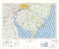 1957 Wilmington1957 Print · USGSThe mid-Atlantic coastal plain comes alive in the mid-fifties as the New Jersey Turnpike and Garden State Parkway redefine travel. Researchers can trace the rail-to-road transition and find landmarks like Ship John Shoal Light and the Fort Dix Military Reservation.2 unique versions available
 - 1959 Map of Wilmington
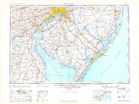 1959 Wilmington1959 Print · USGSThe Delaware Valley and Jersey Shore are seen here in the late fifties, during a period of massive suburban and highway expansion. Researchers can trace mid-century infrastructure like the N J Turnpike or locate coastal landmarks from Barnegat Bay to the Maurice River.3 unique versions available
 - 1966 Map of Wilmington, 1968 Print
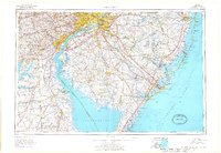 1966 Wilmington1968 Print · USGSThe Delaware Valley and Jersey Shore are seen here in the mid-1960s, documenting a landscape of dense industrial cities and emerging coastal resorts. Researchers can trace the sprawling rail networks of the Pennsylvania Railroad or locate landmarks like Fort Dix Military Reservation and Elk Neck State Park.4 unique versions available
 - 1972 Map of Wilmington, 1976 Print
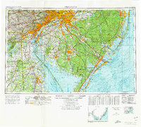 1972 Wilmington1976 Print · USGSThe Delaware Valley and Jersey Shore are seen here in the 1970s, showcasing the region's dense transport networks and vast state forests. Trace early coastal development near Atlantic City or locate rural landmarks like Mount Holly and Dover Air Force Base.2 unique versions available
 - 1984 Map of Atlantic City, 1985 Print
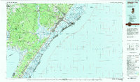 1984 Atlantic City1985 Print · USGSThe Jersey Shore and Pine Barrens are captured here in the mid-eighties, showing the coastal transition from salt marsh to forest. Genealogists and historians can trace family locations from Estell Manor to North Wildwood or explore the vast bounds of the Belleplain State Forest.
 - 1989 Map of Oceanville
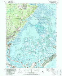 1989 Oceanville1989 Print · USGSCoastal New Jersey in the late eighties reveals a landscape where modern highways intersect with ancient salt marshes and tidal thoroughfares. Researchers can trace local development around Smithville, the aviation history of the Smithville Airport, and landmarks like Mainland Ch.
 - 1989 Map of Pleasantville
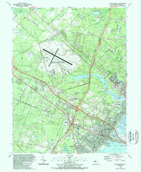 1989 Pleasantville1989 Print · USGSCoastal New Jersey during the late eighties shows a landscape of rapid suburban growth and major aviation hubs inland from the shore. Genealogists and researchers can locate old burial grounds like Beth-Kehillah Cem or trace the early footprint of Stockton State College.
 - 1994 Map of Pleasantville, 1998 Print
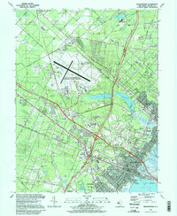 1994 Pleasantville1998 Print · USGSCoastal Atlantic County comes into focus in the mid-1990s as suburban development surrounds established hubs like Pleasantville and Northfield. Researchers can trace local lineage through numerous sites like Beth-Kehillah Cem or locate the sprawling Stockton State College campus.
 - 1995 Map of Oceanville, 2000 Print
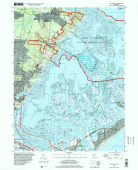 1995 Oceanville2000 Print · USGSCoastal Atlantic County comes into focus in the mid-1990s, showcasing the intricate balance between suburban expansion and protected marshlands. Researchers can trace the layout of historic communities like Smithville and Oceanville or locate landmarks such as the Seaview Country Club and the Coast Guard Station.
 - 2011 Map of Pleasantville, 2011 Print
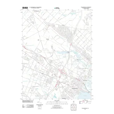 2011 Pleasantville2011 Print · USGSInland Atlantic County is shown here at the start of the 2010s, where aviation hubs meet a landscape rich with historical cemeteries. Researchers can trace local lineage at Atlantic City Cemetery or explore the waterways of Patcong Lake and Lakes Bay.
 - 2011 Map of Oceanville, 2011 Print
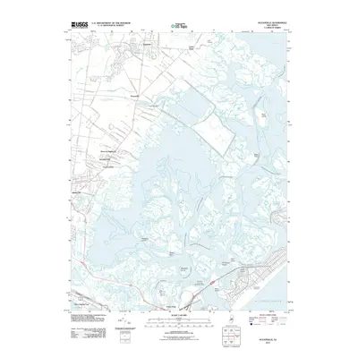 2011 Oceanville2011 Print · USGSThe Atlantic County coastline is captured here in the early twenty-first century as suburban growth meets the salt marshes of the Jersey Shore. Genealogists and historians can trace the developments at Smithville, Leeds Point, and the maritime features of Absecon Bay.
Showing maps 1-25 of 33
Top cities near Absecon
- Egg Harbor Township historical maps
- Atlantic City historical maps
- Galloway Township historical maps
- Stafford Township historical maps
- Hammonton historical maps
- Hamilton Township historical maps
See more
Top neighborhoods of Absecon
- Neptune Gardens historical maps
- The Oaks historical maps
- Absecon Estates historical maps
- Atlantic City Estates historical maps
- White Horse Village historical maps
Frequently asked questions
- What are the different types of historical maps available for Absecon?
- What is the oldest map of Absecon?
- Where can I purchase historical maps of Absecon for my home or office?
- Where can I download high-res historical maps of Absecon?
- Are there historical topographic maps available for Absecon?
- Is there historical aerial imagery available for Absecon?
- Where are historical maps of Absecon sourced from?