2000s (21st Century) Maps of Woodland Township, New Jersey
Explore 30 historic maps of Woodland Township from the 2000s (21st Century). These maps offer a rare glimpse into what life looked like during the 2000s — showing old roads, neighborhoods, homes, and landmarks that have changed or disappeared over time.
Whether you're researching your family's past, planning a metal detecting trip, or studying how Woodland Township's landscape evolved across the 2000s, these high-resolution maps are a powerful tool for exploring the history of this region.
- Focus on a specific era: All maps on this page are from the 2000s, giving you a focused view of this time period.
- See what’s changed: Compare century-old streets, trails, and buildings to today's modern landscape using overlays and satellite layers.
- Research with precision: Use these maps for genealogy, historical research, land use analysis, or educational projects.
- View, download, or print: Maps are fully viewable online in high resolution, and can be downloaded or printed for your own records.
Start exploring Woodland Township's history through authentic maps from the 2000s. This is your window into the past.
Woodland Township, NJ maps
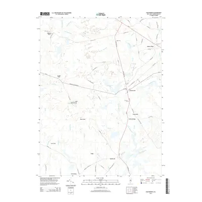
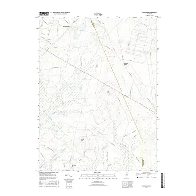
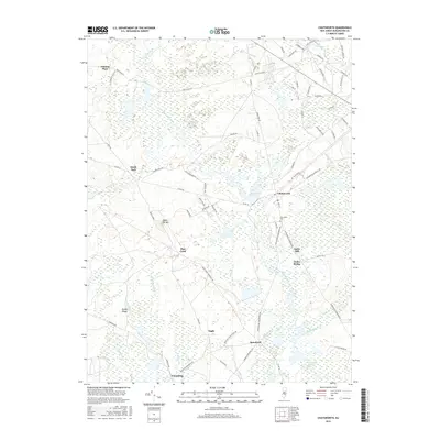
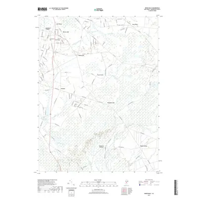
(30)- 2011 Map of Chatsworth, 2011 Print
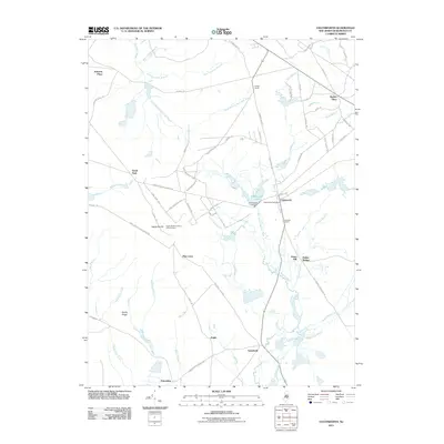 2011 Chatsworth2011 Print · USGSCovers Woodland Township, including Tabernacle Township, Washington Township, and other nearby areas
 - 2011 Map of Woodmansie, 2011 Print
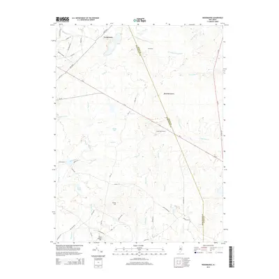
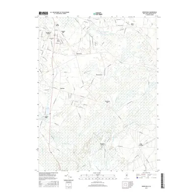
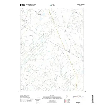
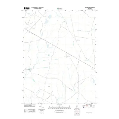 2011 Woodmansie2011 Print · USGSCovers Woodland Township, including Manchester Township, Stafford Township, and other nearby areas
 - 2011 Map of Whiting, 2011 Print
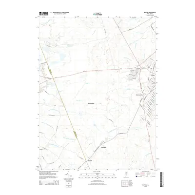
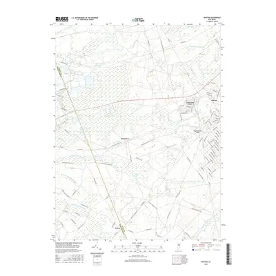
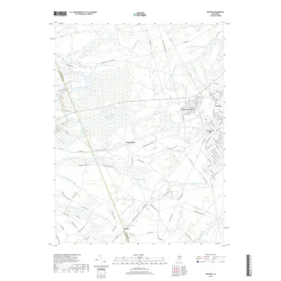
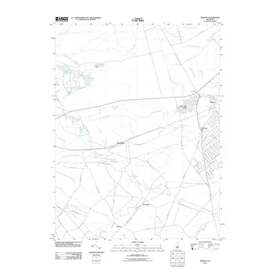 2011 Whiting2011 Print · USGSCovers Woodland Township, including Jackson Township, Manchester Township, and other nearby areas
 - 2011 Map of Indian Mills, 2011 Print
 2011 Indian Mills2011 Print · USGSCovers Woodland Township, including Southampton Township, Tabernacle Township, and other nearby areas
 - 2011 Map of Browns Mills, 2011 Print
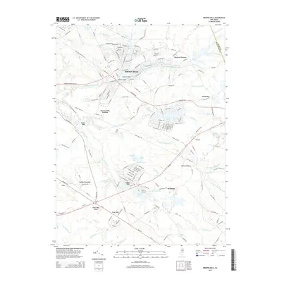
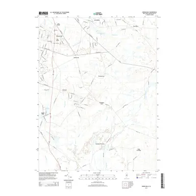
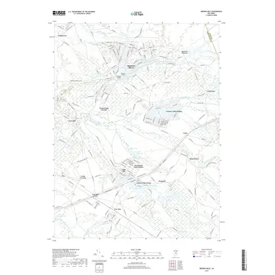
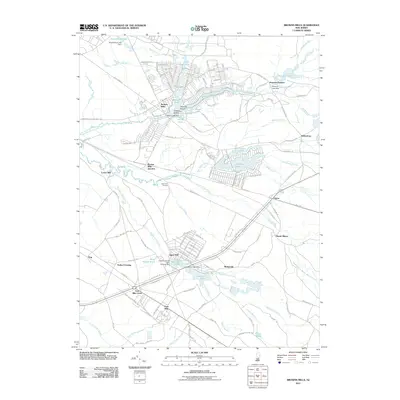 2011 Browns Mills2011 Print · USGSCovers Woodland Township, including Southampton Township, Plumsted Township, and other nearby areas
 - 2011 Map of Pemberton, 2011 Print
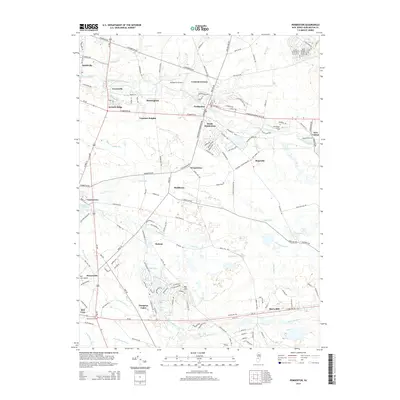
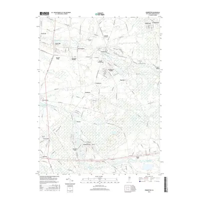
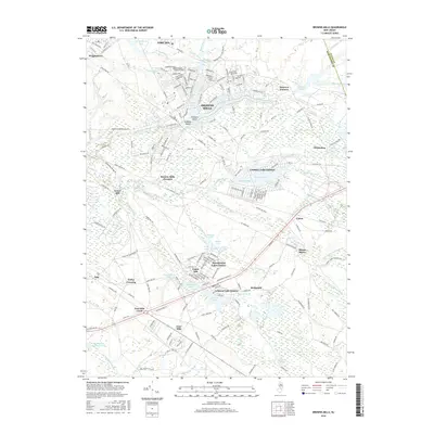
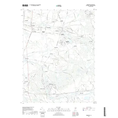
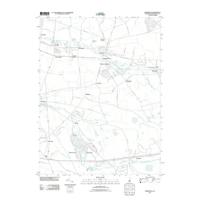 2011 Pemberton2011 Print · USGSCovers Woodland Township, including Southampton Township, Tabernacle Township, and other nearby areas
 - 2014 Map of Whiting, 2014 Print
 2014 Whiting2014 Print · USGSCovers Woodland Township, including Jackson Township, Manchester Township, and other nearby areas
 - 2014 Map of Browns Mills, 2014 Print
 2014 Browns Mills2014 Print · USGSCovers Woodland Township, including Southampton Township, Plumsted Township, and other nearby areas
 - 2014 Map of Pemberton, 2014 Print
 2014 Pemberton2014 Print · USGSCovers Woodland Township, including Southampton Township, Tabernacle Township, and other nearby areas
 - 2014 Map of Woodmansie, 2014 Print
 2014 Woodmansie2014 Print · USGSCovers Woodland Township, including Manchester Township, Stafford Township, and other nearby areas
 - 2014 Map of Indian Mills, 2014 Print
 2014 Indian Mills2014 Print · USGSCovers Woodland Township, including Southampton Township, Tabernacle Township, and other nearby areas
 - 2014 Map of Chatsworth, 2014 Print
 2014 Chatsworth2014 Print · USGSCovers Woodland Township, including Tabernacle Township, Washington Township, and other nearby areas
 - 2016 Map of Pemberton, 2016 Print
 2016 Pemberton2016 Print · USGSCovers Woodland Township, including Southampton Township, Tabernacle Township, and other nearby areas
 - 2016 Map of Indian Mills, 2016 Print
 2016 Indian Mills2016 Print · USGSCovers Woodland Township, including Southampton Township, Tabernacle Township, and other nearby areas
 - 2016 Map of Browns Mills, 2016 Print
 2016 Browns Mills2016 Print · USGSCovers Woodland Township, including Southampton Township, Plumsted Township, and other nearby areas
 - 2016 Map of Woodmansie, 2016 Print
 2016 Woodmansie2016 Print · USGSCovers Woodland Township, including Manchester Township, Stafford Township, and other nearby areas
 - 2016 Map of Chatsworth, 2016 Print
 2016 Chatsworth2016 Print · USGSCovers Woodland Township, including Tabernacle Township, Washington Township, and other nearby areas
 - 2016 Map of Whiting, 2016 Print
 2016 Whiting2016 Print · USGSCovers Woodland Township, including Jackson Township, Manchester Township, and other nearby areas
 - 2019 Map of Browns Mills, 2019 Print
 2019 Browns Mills2019 Print · USGSCovers Woodland Township, including Southampton Township, Plumsted Township, and other nearby areas
 - 2019 Map of Pemberton, 2019 Print
 2019 Pemberton2019 Print · USGSCovers Woodland Township, including Southampton Township, Tabernacle Township, and other nearby areas
 - 2019 Map of Indian Mills, 2019 Print
 2019 Indian Mills2019 Print · USGSCovers Woodland Township, including Southampton Township, Tabernacle Township, and other nearby areas
 - 2019 Map of Whiting, 2019 Print
 2019 Whiting2019 Print · USGSCovers Woodland Township, including Jackson Township, Manchester Township, and other nearby areas
 - 2019 Map of Woodmansie, 2019 Print
 2019 Woodmansie2019 Print · USGSCovers Woodland Township, including Manchester Township, Stafford Township, and other nearby areas
 - 2019 Map of Chatsworth, 2019 Print
 2019 Chatsworth2019 Print · USGSCovers Woodland Township, including Tabernacle Township, Washington Township, and other nearby areas
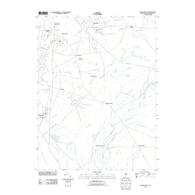
 - 2023 Map of Indian Mills, 2023 Print
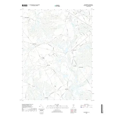
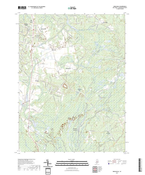 2023 Indian Mills2023 Print · USGSThe New Jersey Pine Barrens are documented here in recent years, showing a landscape of cedar swamps and historic furnace sites. Researchers can trace the legacy of early industry at Hampton Furnace and Moores Mill or find remote outposts like Bozuretown.
Showing maps 1-25 of 30
Top cities near Woodland Township
- Jackson Township historical maps
- Manchester Township historical maps
- Berkeley Township historical maps
- Stafford Township historical maps
- Hammonton historical maps
- Lacey Township historical maps
See more
Top neighborhoods of Woodland Township
- Four Mile historical maps
- McDonald historical maps
- Mount Misery historical maps
- Johnson Place historical maps
- Jones Mill historical maps
- Dukes Bridge historical maps
See more
Frequently asked questions
- What are the different types of historical maps available for Woodland Township?
- What is the oldest map of Woodland Township?
- Where can I purchase historical maps of Woodland Township for my home or office?
- Where can I download high-res historical maps of Woodland Township?
- Are there historical topographic maps available for Woodland Township?
- Is there historical aerial imagery available for Woodland Township?
- Where are historical maps of Woodland Township sourced from?