1900s (20th Century) Maps of Camden County, New Jersey
Explore 51 historic maps of Camden County from the 1900s (20th Century). These maps offer a rare glimpse into what life looked like during the 1900s — showing old roads, neighborhoods, homes, and landmarks that have changed or disappeared over time.
Whether you're researching your family's past, planning a metal detecting trip, or studying how Camden County's landscape evolved across the 1900s, these high-resolution maps are a powerful tool for exploring the history of this region.
- Focus on a specific era: All maps on this page are from the 1900s, giving you a focused view of this time period.
- See what’s changed: Compare century-old streets, trails, and buildings to today's modern landscape using overlays and satellite layers.
- Research with precision: Use these maps for genealogy, historical research, land use analysis, or educational projects.
- View, download, or print: Maps are fully viewable online in high resolution, and can be downloaded or printed for your own records.
Start exploring Camden County's history through authentic maps from the 1900s. This is your window into the past.
Camden County, NJ maps
(51)- 1900 Map of Rancocas
 1900 Rancocas1900 Print · USGSSouthern New Jersey at the turn of the century reveals a land of timber, mills, and emerging rail junctions. Genealogists and historians can trace the locations of family-owned landmarks like Jennings Mill, Ballingers Mill, and early settlements such as Colemantown and Fellowship.2 unique versions available
 - 1901 Map of Camden
 1901 Camden1901 Print · USGSThe Delaware River valley at the turn of the century shows a bustling corridor of early industrial growth and established mill towns. Researchers can trace the heritage of local industry at Sycamore Mills or locate early settlements like Penns Grove and Village Green.3 unique versions available
 - 1919 Map of Hammonton
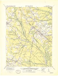 1919 Hammonton1919 Print · USGSThe Pine Barrens of the early twentieth century are defined here by a massive web of competing railroads and small mill settlements. Researchers can trace historic family landmarks and transit hubs like Winslow Junction, Iron Mills, and Pestletown during the region's peak agricultural era.
 - 1919 Map of Mount Holly, 1921 Print
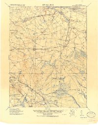 1919 Mount Holly1921 Print · USGSThe Burlington and Camden County interior appears here at a peak of rail-driven commerce during the early twentieth century. Genealogists and historians can trace family-named industrial sites like Kirby's Mill and old bog operations at the West Jersey Cranberry Meadow.
 - 1919 Map of Mullica, 1921 Print
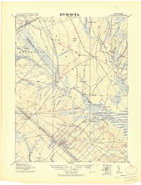 1919 Mullica1921 Print · USGSCoastal New Jersey's Pine Barrens and river landings are captured here in the early 1900s during a period of transition between water-based commerce and expanding rail lines. Researchers can trace the legacy of iron and agriculture through sites like Batsto, Harris Ville, and the Tranquility Bogs.
 - 1920 Map of Philadelphia
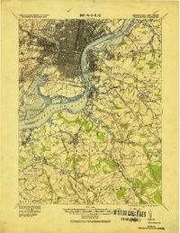 1920 Philadelphia1920 Print · USGSPhiladelphia and its New Jersey neighbors are captured here just after the Great War, showing a landscape defined by massive riverfront industry and a dense rail network. Genealogists can trace family footprints through numerous small communities and stations like Blenheim Station, Woodbury Heights, and the grounds of the Alms House.
 - 1942 Map of Camden
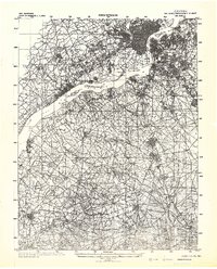 1942 Camden1942 Print · USGSThe Philadelphia and Camden metropolitan corridor is captured here at the height of the Second World War. Genealogists and historians can trace rail networks like the Reading R.R. and locate communities from Swedesboro to Merchantville.
 - 1942 Map of Mount Holly
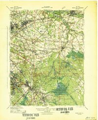 1942 Mount Holly1942 Print · USGSSouth-central New Jersey during the early war years is defined here by its intricate network of mill streams and small agricultural crossroads. Genealogists and historians can trace family-named sites like Braddock Mill, Newbolds Corner, and the extensive West Jersey Cranberry Meadow.
 - 1942 Map of Hammonton
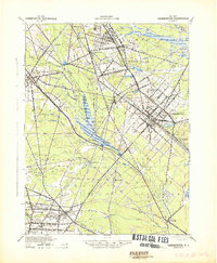 1942 Hammonton1942 Print · USGSAtlantic and Camden counties come alive in the early 1940s, showing the South Jersey Pinelands just as the modern highway system began to overlap the old rail networks. Trace historical property lines and local hubs like Winslow Junction, Blue Anchor, and the waters of Hammonton Lake.
 - 1942 Map of Egg Harbor
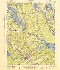 1942 Egg Harbor1942 Print · USGSSouth Jersey's Pine Barrens were a mix of industrial remnants and early military footprints during the Second World War. Researchers can trace the layout of the Abandoned World War Cantonment or explore old glass and iron centers like Batsto and Harrisville.
 - 1943 Map of Philadelphia
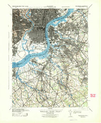 1943 Philadelphia1943 Print · USGSPhiladelphia and Camden are shown at their wartime peak, anchored by the industrial activity of the Delaware River waterfront. Genealogists and historians can trace rail-connected neighborhoods and landmarks like the U. S. Navy Yard, Fort Mifflin, and the Alms House.
 - 1946 Map of Wilmington, 1948 Print
 1946 Wilmington1948 Print · USGSThe Delaware Valley and Jersey Shore emerge in this mid-century portrait of a region defined by river commerce and seaside growth. Genealogists and historians can trace the rail networks of the Pennsylvania Railroad, locate early airfields like Dover Airpark, and find river defenses at Fort Delaware.2 unique versions available
 - 1948 Map of Glassboro
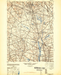 1948 Glassboro1948 Print · USGSSouth Jersey's agricultural heartland and transit corridors are captured here just after the war, showing the area's transition into a modern produce hub. Genealogists can trace family names and small settlements like Brotmanville, Husted Station, and Seabrook Farms.3 unique versions available
 - 1948 Map of Hammonton
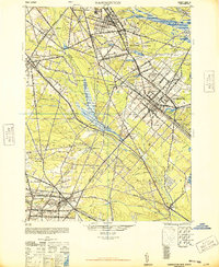 1948 Hammonton1948 Print · USGSPost-war South Jersey is defined here by the meeting of rail and road, as the White Horse Pike cuts through the Pinelands. Trace the development of communities like Hammonton and the critical rail hub at Winslow Junction.2 unique versions available
 - 1949 Map of Camden, 1953 Print
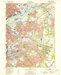 1949 Camden1953 Print · USGSPost-war New Jersey and Pennsylvania are captured here at the height of their industrial and suburban expansion. Genealogists can locate family plots in Harleigh Cem or Locustwood Cemetery while tracing the vanished Central Airport.3 unique versions available
 - 1949 Map of Philadelphia, 1953 Print
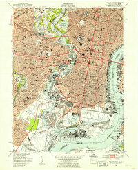 1949 Philadelphia1953 Print · USGSPhiladelphia at the close of the 1940s reveals a bustling industrial powerhouse and deeply rooted residential neighborhoods. Researchers can trace the extensive rail lines of the READING RR, locate historic landmarks like Independence Hall, or explore the sprawling US NAVAL RESERVATION and FAIRMOUNT PARK.2 unique versions available
 - 1949 Map of Woodbury, 1954 Print
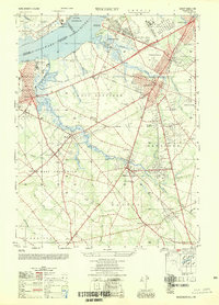 1949 Woodbury1954 Print · USGSGloucester County during the post-war era shows a landscape transitioning from the industrial riverfront of the Delaware River to growing inland communities. Researchers can trace historical sites like the Hog Island Shipyard (Abandoned), Red Bank Battlefield, and the rail corridors of the Reading Seashore Lines.2 unique versions available
 - 1951 Map of Woodbury
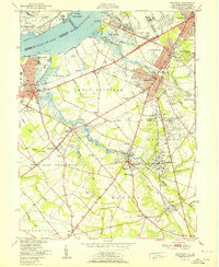 1951 Woodbury1951 Print · USGSGloucester County at the start of the fifties shows a landscape of busy rail corridors and riverfront industry. Trace the Pennsylvania-Reading Seashore Lines through Woodbury and locate the Hog Island Shipyard (Abandoned) or Fort Mifflin along the Delaware.
 - 1952 Map of Runnemede, 1954 Print
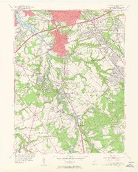 1952 Runnemede1954 Print · USGSCamden and Gloucester counties were undergoing rapid post-war growth when this survey recorded their developing suburban and industrial landscape. Researchers can pinpoint long-standing landmarks like New St Marys Cemetery, Echelon Airport, and the Pennsylvania-Reading Seashore Lines.3 unique versions available
 - 1953 Map of Clementon, 1954 Print
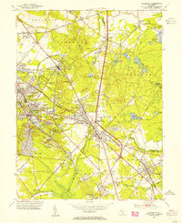 1953 Clementon1954 Print · USGSCamden County was a landscape of rail-linked towns and cranberry bogs in the early fifties. Genealogists and local historians can trace the foundations of Berlin, Gibbsboro, and Atco along the Pennsylvania-Reading Seashore Lines.3 unique versions available
 - 1953 Map of Pitman East, 1954 Print
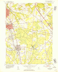 1953 Pitman East1954 Print · USGSGloucester County at mid-century shows a mix of growing college towns and rural crossroads connected by the Pennsylvania-Reading Seashore Lines. Local historians can trace the foundations of Glassboro and Pitman, or locate smaller landmarks like Fries Mill, Bunker Hill Ch, and the State Teachers College.2 unique versions available
 - 1953 Map of Atsion, 1954 Print
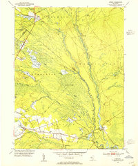 1953 Atsion1954 Print · USGSThe New Jersey Pine Barrens in the early fifties reveal a landscape shaped by water and iron history. Trace the legacy of early settlements and agriculture through the Central Railroad of New Jersey, the sprawling Cranberry Bogs, and historic river crossings at Quaker Bridge.6 unique versions available
 - 1953 Map of Moorestown, 1954 Print
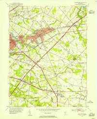 1953 Moorestown1954 Print · USGSMoorestown and the surrounding Burlington County landscape are captured during the early postwar expansion, just as the New Jersey Turnpike reshaped the region. Genealogists and local historians can trace local family roots through sites like Jacobs Chapel, Cropwell Cem, and the various Township Schools that dotted these rural communities.2 unique versions available
 - 1953 Map of Medford Lakes, 1954 Print
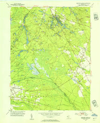 1953 Medford Lakes1954 Print · USGSThe Pine Barrens of Burlington and Camden Counties appear in detail in the early fifties, showing the region's unique cranberry-based economy. Researchers can trace rural school locations like Louden Sch and agricultural landmarks such as West Jersey Cranberry Meadow.2 unique versions available
 - 1953 Map of Williamstown, 1954 Print
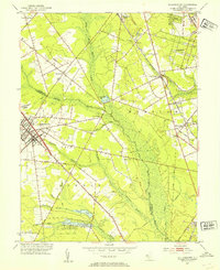 1953 Williamstown1954 Print · USGSThe Pine Barrens of South Jersey meet the growing hubs of Gloucester and Camden counties in the early fifties. Researchers can trace family sites at Hopewell Cem, follow the PENNSYLVANIA-READING SEASHORE LINES, or locate vanished rail infrastructure like Taggart Siding.
Showing maps 1-25 of 51
Top cities of Camden County
- Camden historical maps
- Cherry Hill Township historical maps
- Winslow Township historical maps
- Pennsauken Township historical maps
- Voorhees Township historical maps
- Lindenwold historical maps
See more
Frequently asked questions
- What are the different types of historical maps available for Camden County?
- What is the oldest map of Camden County?
- Where can I purchase historical maps of Camden County for my home or office?
- Where can I download high-res historical maps of Camden County?
- Are there historical topographic maps available for Camden County?
- Is there historical aerial imagery available for Camden County?
- Where are historical maps of Camden County sourced from?