2000s (21st Century) Maps of Gloucester Township, New Jersey
Explore 20 historic maps of Gloucester Township from the 2000s (21st Century). These maps offer a rare glimpse into what life looked like during the 2000s — showing old roads, neighborhoods, homes, and landmarks that have changed or disappeared over time.
Whether you're researching your family's past, planning a metal detecting trip, or studying how Gloucester Township's landscape evolved across the 2000s, these high-resolution maps are a powerful tool for exploring the history of this region.
- Focus on a specific era: All maps on this page are from the 2000s, giving you a focused view of this time period.
- See what’s changed: Compare century-old streets, trails, and buildings to today's modern landscape using overlays and satellite layers.
- Research with precision: Use these maps for genealogy, historical research, land use analysis, or educational projects.
- View, download, or print: Maps are fully viewable online in high resolution, and can be downloaded or printed for your own records.
Start exploring Gloucester Township's history through authentic maps from the 2000s. This is your window into the past.
Gloucester Township, NJ maps
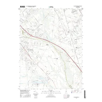
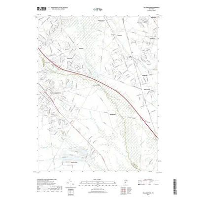
(20)- 2011 Map of Williamstown, 2011 Print
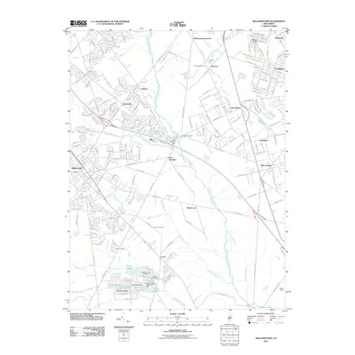 2011 Williamstown2011 Print · USGSCovers Gloucester Township, including Sicklerville, Winslow Township, and other nearby areas
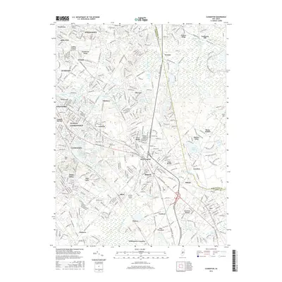
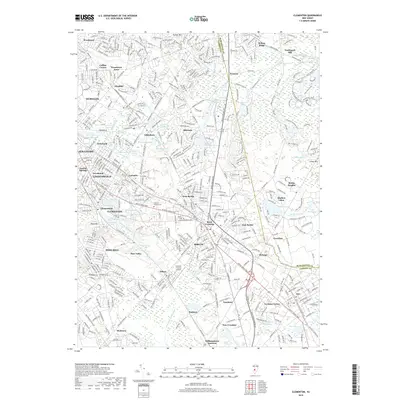
 - 2011 Map of Clementon, 2011 Print
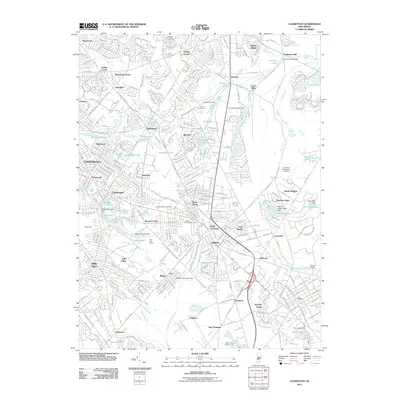 2011 Clementon2011 Print · USGSCovers Gloucester Township, including Cherry Hill Township, Winslow Township, and other nearby areas
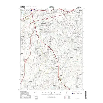
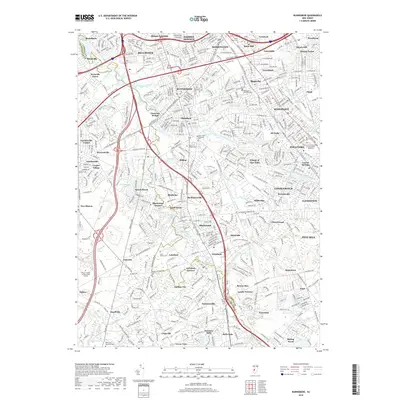
 - 2011 Map of Runnemede, 2011 Print
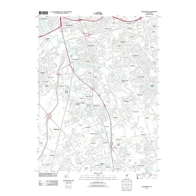 2011 Runnemede2011 Print · USGSCovers Gloucester Township, including Cherry Hill Township, Washington Township, and other nearby areas
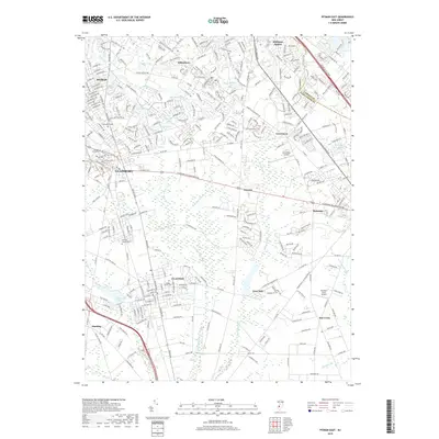
 - 2011 Map of Pitman East, 2011 Print
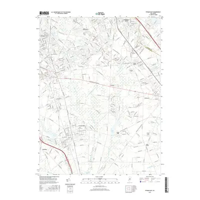
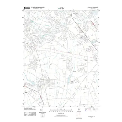 2011 Pitman East2011 Print · USGSCovers Gloucester Township, including Washington Township, Winslow Township, and other nearby areas
 - 2014 Map of Runnemede, 2014 Print
 2014 Runnemede2014 Print · USGSCovers Gloucester Township, including Cherry Hill Township, Washington Township, and other nearby areas
 - 2014 Map of Clementon, 2014 Print
 2014 Clementon2014 Print · USGSCovers Gloucester Township, including Cherry Hill Township, Winslow Township, and other nearby areas
 - 2014 Map of Pitman East, 2014 Print
 2014 Pitman East2014 Print · USGSCovers Gloucester Township, including Washington Township, Winslow Township, and other nearby areas
 - 2014 Map of Williamstown, 2014 Print
 2014 Williamstown2014 Print · USGSCovers Gloucester Township, including Sicklerville, Winslow Township, and other nearby areas
 - 2016 Map of Williamstown, 2016 Print
 2016 Williamstown2016 Print · USGSCovers Gloucester Township, including Sicklerville, Winslow Township, and other nearby areas
 - 2016 Map of Clementon, 2016 Print
 2016 Clementon2016 Print · USGSCovers Gloucester Township, including Cherry Hill Township, Winslow Township, and other nearby areas
 - 2016 Map of Pitman East, 2016 Print
 2016 Pitman East2016 Print · USGSCovers Gloucester Township, including Washington Township, Winslow Township, and other nearby areas
 - 2016 Map of Runnemede, 2016 Print
 2016 Runnemede2016 Print · USGSCovers Gloucester Township, including Cherry Hill Township, Washington Township, and other nearby areas
 - 2019 Map of Williamstown, 2019 Print
 2019 Williamstown2019 Print · USGSCovers Gloucester Township, including Sicklerville, Winslow Township, and other nearby areas
 - 2019 Map of Clementon, 2019 Print
 2019 Clementon2019 Print · USGSCovers Gloucester Township, including Cherry Hill Township, Winslow Township, and other nearby areas
 - 2019 Map of Pitman East, 2019 Print
 2019 Pitman East2019 Print · USGSCovers Gloucester Township, including Washington Township, Winslow Township, and other nearby areas
 - 2019 Map of Runnemede, 2019 Print
 2019 Runnemede2019 Print · USGSCovers Gloucester Township, including Cherry Hill Township, Washington Township, and other nearby areas
 - 2023 Map of Williamstown, 2023 Print
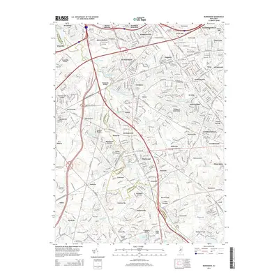
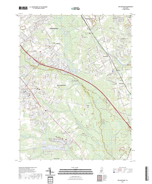 2023 Williamstown2023 Print · USGSThe borderlands of Gloucester and Camden Counties are shown here during their modern development. Genealogists can locate several historic burial grounds including Saint Johns Lutheran Cem and the Blue Anchor Cem near Braddock.
 - 2023 Map of Clementon, 2023 Print
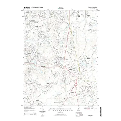
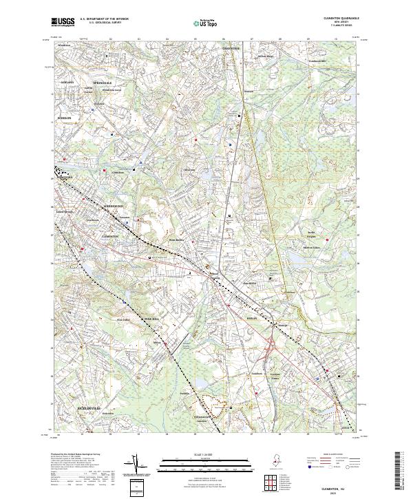 2023 Clementon2023 Print · USGSThe boroughs of South Jersey are mapped here in the early twenty-first century, showing a landscape defined by old pikes and a chain of small lakes. Genealogists can locate numerous sites including the Matlack Family Burial Ground, Mount Zion A M E Church Cem, and Gate of Heaven Cem.
 - 2023 Map of Pitman East, 2023 Print
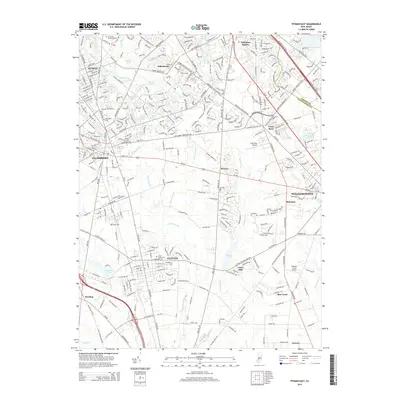
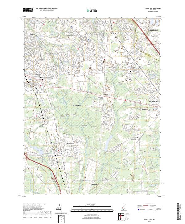 2023 Pitman East2023 Print · USGSGloucester County communities like Glassboro and Clayton are shown here as they appeared in the early 2020s. Researchers can locate several burial grounds including Land Of Canaan Cem and academic landmarks like Rowan University.
 - 2023 Map of Runnemede, 2023 Print
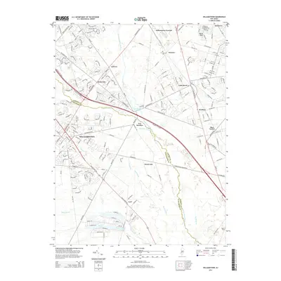
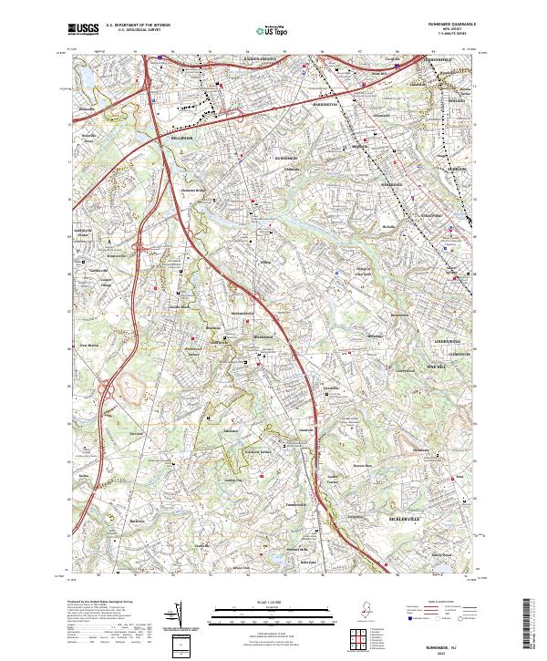 2023 Runnemede2023 Print · USGSSouth Jersey's residential and transit networks come into focus in this recent survey of the Camden and Gloucester county border. Researchers can trace numerous local burial sites and landmarks like the Deptford Strangers Burial Ground and Mount Pisgah A M E Church Cem.
End of results
Showing maps 1-20 of 20
Top cities near Gloucester Township
- Philadelphia historical maps
- Upper Darby historical maps
- Camden historical maps
- Cherry Hill Township historical maps
- Vineland historical maps
- Washington Township historical maps
See more
Top neighborhoods of Gloucester Township
- Lakeland historical maps
- Lambs Terrace historical maps
- Mechanicsville historical maps
- Millbridge historical maps
- Revere Run historical maps
- Bishop Wood historical maps
See more
Frequently asked questions
- What are the different types of historical maps available for Gloucester Township?
- What is the oldest map of Gloucester Township?
- Where can I purchase historical maps of Gloucester Township for my home or office?
- Where can I download high-res historical maps of Gloucester Township?
- Are there historical topographic maps available for Gloucester Township?
- Is there historical aerial imagery available for Gloucester Township?
- Where are historical maps of Gloucester Township sourced from?