Old Maps of East Point, Maurice River Township for Genealogy
Trace your family roots with 18 historic maps of East Point. These high-res maps reveal old neighborhoods, homesites, landmarks, and streets — helping you uncover where your ancestors lived and how the area evolved over time.
- Explore historic neighborhoods: Identify where your relatives may have lived in the 1800s or 1900s.
- Compare maps over time: Trace the changes in streets, buildings, and landmarks for multi-generational research.
- Perfect for genealogy & ancestry research: Used by family historians and researchers to map out lineage and migration.
These maps are an incredible resource for exploring your personal connection to East Point's past.
East Point, Maurice River Township maps
(18)- 1890 Map of Maurice Cove
 1890 Maurice Cove1890 Print · USGSCumberland County’s shoreline in the late nineteenth century is a complex landscape of tidal creeks and maritime infrastructure. Researchers can trace the early rail terminus at Port Norris or locate offshore hazards like Dead Man's Shoal and Egg Island Light.
 - 1891 Map of Maurice Cove
 1891 Maurice Cove1891 Print · USGSCumberland County's coastal marshlands and the Delaware Bay oyster industry are captured here during the late Victorian era. Researchers can trace the dual rail lines serving Port Norris or locate offshore hazards like Dead Man Shoal and Egg Island Light.3 unique versions available
 - 1899 Map of Vineland
 1899 Vineland1899 Print · USGSCumberland and Salem counties come alive in the late nineteenth century, showcasing a thriving coastal economy of rail lines and river ports. Genealogists and researchers can trace family lands near Maskells Mill, the oyster docks of Bivalve, or the rural junction at New England Cross Roads.3 unique versions available
 - 1919 Map of Vineland, 1921 Print
 1919 Vineland1921 Print · USGSCumberland County’s coastal oyster ports and inland industrial centers are captured here during a period of peak maritime activity. Genealogists and historians can trace rail lines like the Central R. R. of New Jersey or locate vanished sites like Whitehall Ldg. and Sheppards Mill.
 - 1941 Map of Port Norris
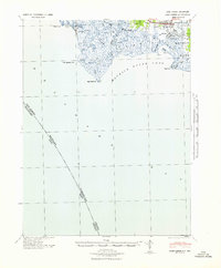 1941 Port Norris1941 Print · USGSCumberland County's maritime heart is captured here during the early 1940s, as the oyster industry centered on Bivalve and Port Norris reached its mid-century peak. Researchers can trace the Reading Seashore Lines to the coast or locate remote outposts like Fortescue and Matts Landing.
 - 1946 Map of Wilmington, 1948 Print
 1946 Wilmington1948 Print · USGSThe Delaware Valley and Jersey Shore emerge in this mid-century portrait of a region defined by river commerce and seaside growth. Genealogists and historians can trace the rail networks of the Pennsylvania Railroad, locate early airfields like Dover Airpark, and find river defenses at Fort Delaware.2 unique versions available
 - 1955 Map of Wilmington
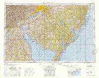 1955 Wilmington1955 Print · USGSThe Delaware Valley and Jersey Shore are seen here during the mid-fifties era of rapid suburban expansion and highway development. You can trace the path of the New Jersey Turnpike, locate the Fort Dix Military Reservation, or explore the rail networks of the Pennsylvania Railroad.
 - 1956 Map of Port Norris, 1958 Print
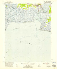 1956 Port Norris1958 Print · USGSThe oyster-harvesting centers of Cumberland County are captured here in the mid-1950s. Genealogists and historians can trace family locations near Port Norris, Bivalve, and Shell Pile, or locate rural landmarks like St Anthonys Ch.5 unique versions available
 - 1957 Map of Wilmington
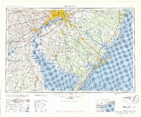 1957 Wilmington1957 Print · USGSThe mid-Atlantic coastal plain comes alive in the mid-fifties as the New Jersey Turnpike and Garden State Parkway redefine travel. Researchers can trace the rail-to-road transition and find landmarks like Ship John Shoal Light and the Fort Dix Military Reservation.2 unique versions available
 - 1959 Map of Wilmington
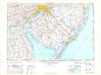 1959 Wilmington1959 Print · USGSThe Delaware Valley and Jersey Shore are seen here in the late fifties, during a period of massive suburban and highway expansion. Researchers can trace mid-century infrastructure like the N J Turnpike or locate coastal landmarks from Barnegat Bay to the Maurice River.3 unique versions available
 - 1966 Map of Wilmington, 1968 Print
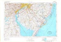 1966 Wilmington1968 Print · USGSThe Delaware Valley and Jersey Shore are seen here in the mid-1960s, documenting a landscape of dense industrial cities and emerging coastal resorts. Researchers can trace the sprawling rail networks of the Pennsylvania Railroad or locate landmarks like Fort Dix Military Reservation and Elk Neck State Park.4 unique versions available
 - 1972 Map of Wilmington, 1976 Print
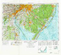 1972 Wilmington1976 Print · USGSThe Delaware Valley and Jersey Shore are seen here in the 1970s, showcasing the region's dense transport networks and vast state forests. Trace early coastal development near Atlantic City or locate rural landmarks like Mount Holly and Dover Air Force Base.2 unique versions available
 - 1984 Map of Dover, 1985 Print
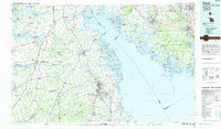 1984 Dover1985 Print · USGSThe Delaware Bay coastline and its surrounding communities are captured here in the mid-1980s. Genealogists and historians can trace the growth of Dover, locate rural landmarks like St Augustine, or study the rail networks of CONRAIL and the Dover Air Force Base.
 - 2011 Map of Port Norris, 2011 Print
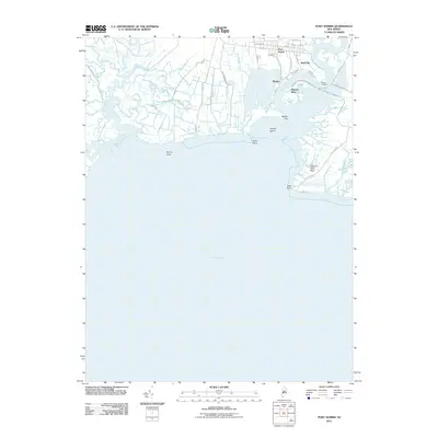 2011 Port Norris2011 Print · USGSCumberland County’s maritime coast is detailed in this study of the tidal wetlands and river settlements during the early 21st century. Researchers can trace the local waterfront infrastructure and historical village sites like Shell Pile, Bivalve, and Matts Landing.
 - 2014 Map of Port Norris, 2014 Print
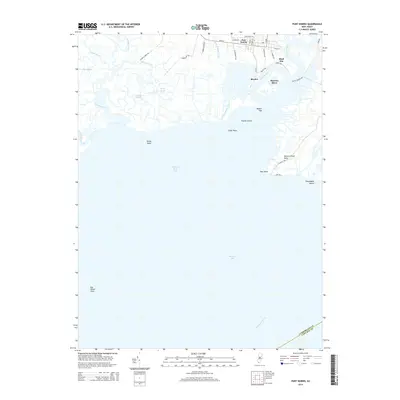 2014 Port Norris2014 Print · USGSCumberland County's historic maritime hubs at Port Norris and Bivalve appear in detail along the Maurice River in this 2014 survey. Researchers can trace the coastal geography of East Point, the settlement at Shell Pile, and the expansive Egg Island Flats.
 - 2017 Map of Port Norris, 2017 Print
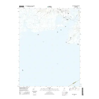 2017 Port Norris2017 Print · USGSThe Cumberland County shoreline and the oyster-rich waters of the lower Delaware Bay are captured here in the late twenty-teens. Genealogists and local historians can trace the road networks of Port Norris and the waterfront docks of Bivalve and Shell Pile.
 - 2019 Map of Port Norris, 2019 Print
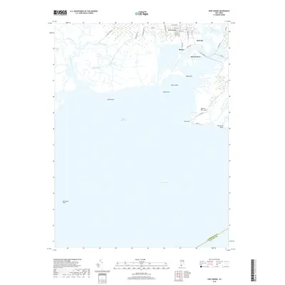 2019 Port Norris2019 Print · USGSCumberland County's maritime frontier along the Delaware Bay is captured here in the late twenty-teens. Trace the historic oyster-industry hubs of Port Norris, Bivalve, and Shell Pile or explore the coastal reaches of Thompsons Beach and East Point.
 - 2023 Map of Port Norris, 2023 Print
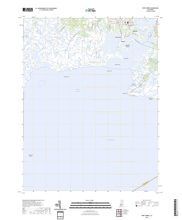 2023 Port Norris2023 Print · USGSCumberland County's historic oyster-industry hubs appear in detail along the shores of the Maurice River in the early 21st century. Researchers can trace local lineage and maritime roots through landmarks like the GAR Cemetery, the waterfront at Bivalve, and the roads leading to Thompsons Beach.
End of results
Showing maps 1-18 of 18
Top cities near East Point
- Vineland historical maps
- Millville historical maps
- Hamilton Township historical maps
- Bridgeton historical maps
- Lower Township historical maps
- Middle Township historical maps
See more
Frequently asked questions
- What are the different types of historical maps available for East Point?
- What is the oldest map of East Point?
- Where can I purchase historical maps of East Point for my home or office?
- Where can I download high-res historical maps of East Point?
- Are there historical topographic maps available for East Point?
- Is there historical aerial imagery available for East Point?
- Where are historical maps of East Point sourced from?