2000s (21st Century) Maps of Vineland, New Jersey
Explore 20 historic maps of Vineland from the 2000s (21st Century). These maps offer a rare glimpse into what life looked like during the 2000s — showing old roads, neighborhoods, homes, and landmarks that have changed or disappeared over time.
Whether you're researching your family's past, planning a metal detecting trip, or studying how Vineland's landscape evolved across the 2000s, these high-resolution maps are a powerful tool for exploring the history of this region.
- Focus on a specific era: All maps on this page are from the 2000s, giving you a focused view of this time period.
- See what’s changed: Compare century-old streets, trails, and buildings to today's modern landscape using overlays and satellite layers.
- Research with precision: Use these maps for genealogy, historical research, land use analysis, or educational projects.
- View, download, or print: Maps are fully viewable online in high resolution, and can be downloaded or printed for your own records.
Start exploring Vineland's history through authentic maps from the 2000s. This is your window into the past.
Vineland, NJ maps
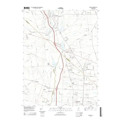
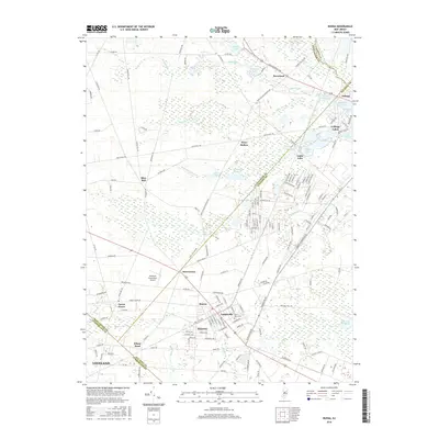
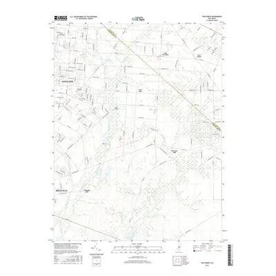
(20)- 2011 Map of Five Points, 2011 Print
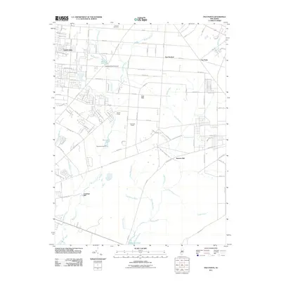 2011 Five Points2011 Print · USGSCovers Vineland, including Millville, Maurice River Township, and other nearby areas
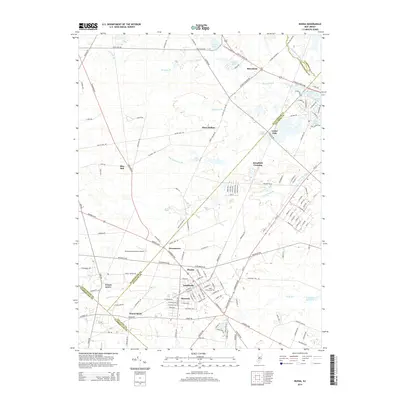
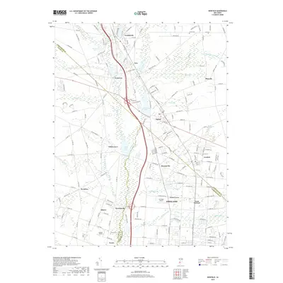
 - 2011 Map of Buena, 2011 Print
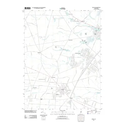 2011 Buena2011 Print · USGSCovers Vineland, including Winslow Township, Monroe Township, and other nearby areas
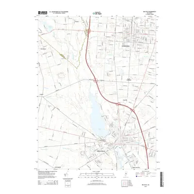
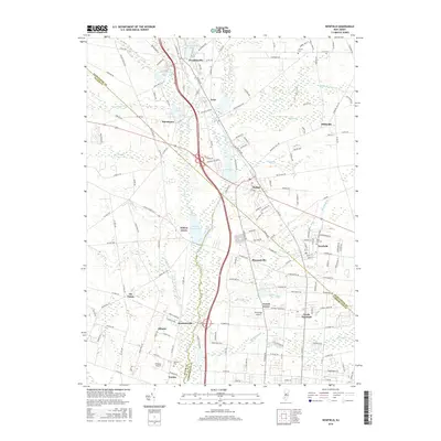
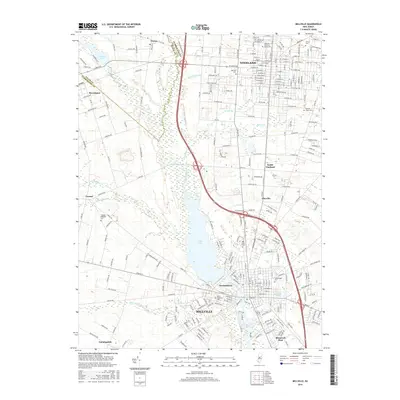
 - 2011 Map of Millville, 2011 Print
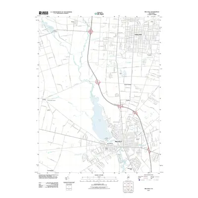 2011 Millville2011 Print · USGSCovers Vineland, including Millville, Lawrence Township, and other nearby areas
 - 2011 Map of Newfield, 2011 Print
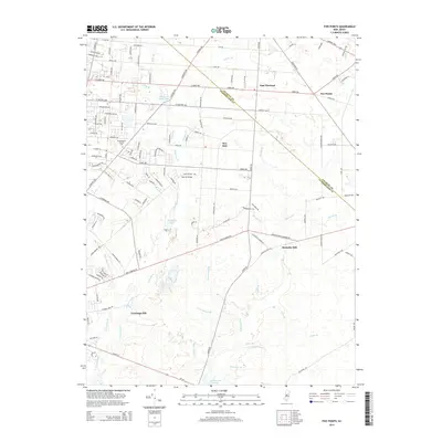
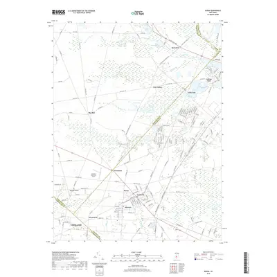
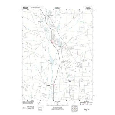 2011 Newfield2011 Print · USGSCovers Vineland, including Newfield, Brotmanville, and other nearby areas
 - 2014 Map of Newfield, 2014 Print
 2014 Newfield2014 Print · USGSCovers Vineland, including Newfield, Brotmanville, and other nearby areas
 - 2014 Map of Millville, 2014 Print
 2014 Millville2014 Print · USGSCovers Vineland, including Millville, Lawrence Township, and other nearby areas
 - 2014 Map of Five Points, 2014 Print
 2014 Five Points2014 Print · USGSCovers Vineland, including Millville, Maurice River Township, and other nearby areas
 - 2014 Map of Buena, 2014 Print
 2014 Buena2014 Print · USGSCovers Vineland, including Winslow Township, Monroe Township, and other nearby areas
 - 2016 Map of Buena, 2016 Print
 2016 Buena2016 Print · USGSCovers Vineland, including Winslow Township, Monroe Township, and other nearby areas
 - 2016 Map of Five Points, 2016 Print
 2016 Five Points2016 Print · USGSCovers Vineland, including Millville, Maurice River Township, and other nearby areas
 - 2016 Map of Newfield, 2016 Print
 2016 Newfield2016 Print · USGSCovers Vineland, including Newfield, Brotmanville, and other nearby areas
 - 2016 Map of Millville, 2016 Print
 2016 Millville2016 Print · USGSCovers Vineland, including Millville, Lawrence Township, and other nearby areas
 - 2019 Map of Five Points, 2019 Print
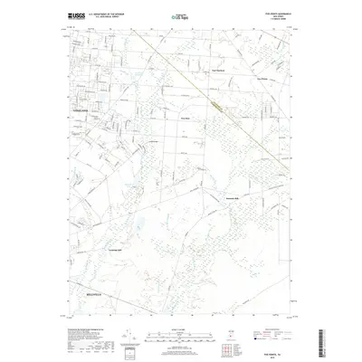 2019 Five Points2019 Print · USGSCovers Vineland, including Millville, Maurice River Township, and other nearby areas
 - 2019 Map of Buena, 2019 Print
 2019 Buena2019 Print · USGSCovers Vineland, including Winslow Township, Monroe Township, and other nearby areas
 - 2019 Map of Newfield, 2019 Print
 2019 Newfield2019 Print · USGSCovers Vineland, including Newfield, Brotmanville, and other nearby areas
 - 2019 Map of Millville, 2019 Print
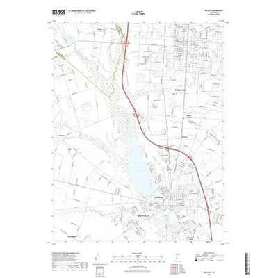 2019 Millville2019 Print · USGSCovers Vineland, including Millville, Lawrence Township, and other nearby areas
 - 2023 Map of Newfield, 2023 Print
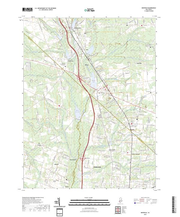 2023 Newfield2023 Print · USGSSouthern New Jersey's coastal plain comes into focus in this contemporary survey where the crossroads of three counties meet. Genealogists and historians can trace family roots through sites like Porchtown Zion Methodist Church,Cem, Rose Hill Cem, and the small aviation history found at Kroelinger Airport.
 - 2023 Map of Five Points, 2023 Print
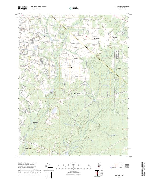 2023 Five Points2023 Print · USGSCumberland County at the edge of the Pine Barrens is captured here in modern detail, showing the rural communities and complex hydrology of the South Jersey interior. Genealogists and local historians can trace legacy sites like Leamings Mill, Our Lady of Pompeii Cem, and the settlement of New Italy.
 - 2023 Map of Buena, 2023 Print
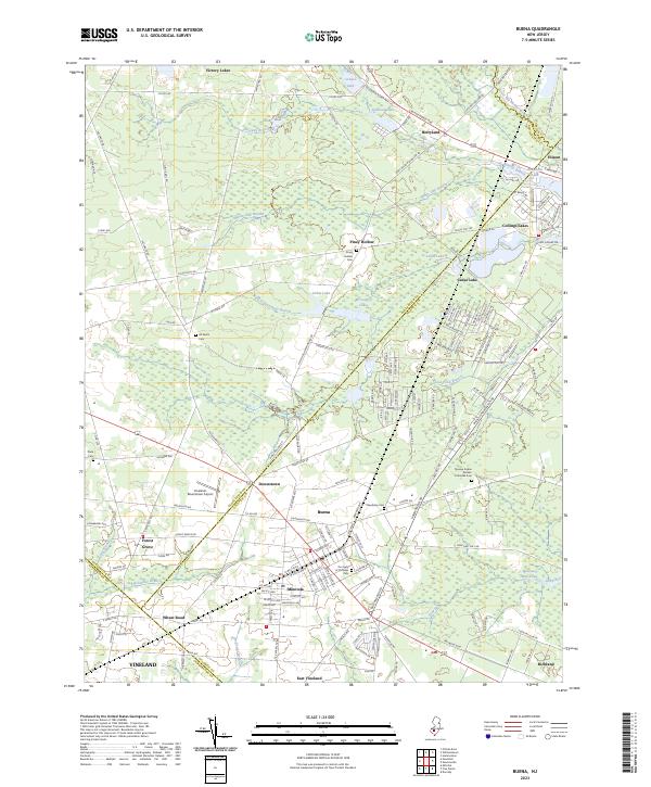 2023 Buena2023 Print · USGSThe South Jersey Pinelands communities of Buena and Folsom are shown here as they appear in the early 2020s. Genealogists and local researchers can trace family landmarks and neighborhood boundaries across Minotola, the Novaya Kuban Russian Orthodox Cem, and the Vineland-Downstown Airport.
 - 2023 Map of Millville, 2023 Print
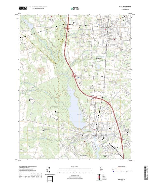 2023 Millville2023 Print · USGSCumberland County at the dawn of the 2020s shows a landscape where historic rural settlements meet the expanding urban centers of Vineland and Millville. Genealogists and historians can trace numerous legacy sites including Siloam Cem, the Vineland Hebrew Cem, and the Newcomb Burial Site along the Maurice River corridor.
End of results
Showing maps 1-20 of 20
Top cities near Vineland
- Winslow Township historical maps
- Monroe Township historical maps
- Millville historical maps
- Hammonton historical maps
- Hamilton Township historical maps
- Bridgeton historical maps
See more
Top neighborhoods of Vineland
- New Italy historical maps
- Clayville historical maps
- Pleasantville historical maps
- Leamings Mill historical maps
- South Vineland historical maps
- Forest Grove historical maps
See more
Frequently asked questions
- What are the different types of historical maps available for Vineland?
- What is the oldest map of Vineland?
- Where can I purchase historical maps of Vineland for my home or office?
- Where can I download high-res historical maps of Vineland?
- Are there historical topographic maps available for Vineland?
- Is there historical aerial imagery available for Vineland?
- Where are historical maps of Vineland sourced from?