2000s (21st Century) Maps of Franklin Township, New Jersey
Explore 30 historic maps of Franklin Township from the 2000s (21st Century). These maps offer a rare glimpse into what life looked like during the 2000s — showing old roads, neighborhoods, homes, and landmarks that have changed or disappeared over time.
Whether you're researching your family's past, planning a metal detecting trip, or studying how Franklin Township's landscape evolved across the 2000s, these high-resolution maps are a powerful tool for exploring the history of this region.
- Focus on a specific era: All maps on this page are from the 2000s, giving you a focused view of this time period.
- See what’s changed: Compare century-old streets, trails, and buildings to today's modern landscape using overlays and satellite layers.
- Research with precision: Use these maps for genealogy, historical research, land use analysis, or educational projects.
- View, download, or print: Maps are fully viewable online in high resolution, and can be downloaded or printed for your own records.
Start exploring Franklin Township's history through authentic maps from the 2000s. This is your window into the past.
Franklin Township, NJ maps
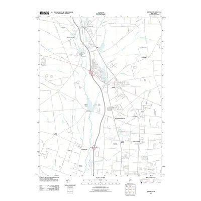
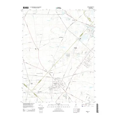
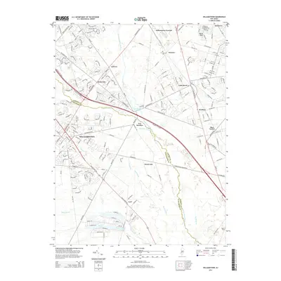
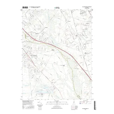
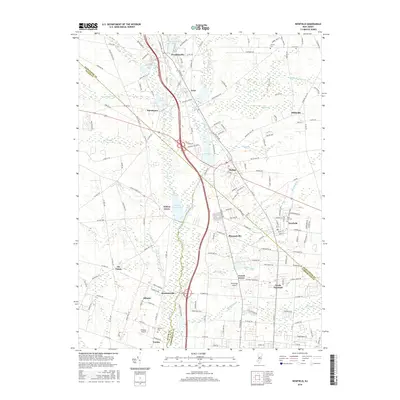
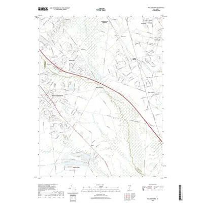
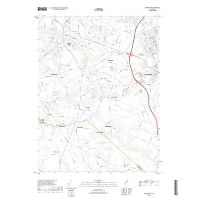
(30)- 2011 Map of Williamstown, 2011 Print
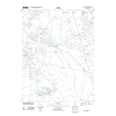 2011 Williamstown2011 Print · USGSCovers Franklin Township, including Sicklerville, Winslow Township, and other nearby areas
 - 2011 Map of Buena, 2011 Print
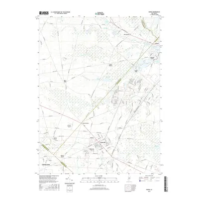
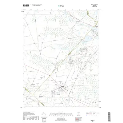
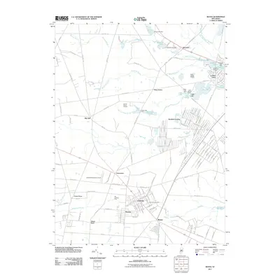 2011 Buena2011 Print · USGSCovers Franklin Township, including Vineland, Winslow Township, and other nearby areas
 - 2011 Map of Pitman West, 2011 Print
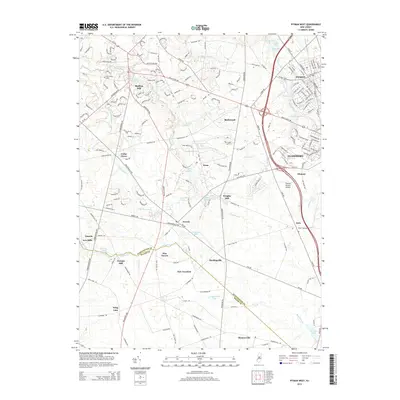
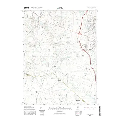
 2011 Pitman West2011 Print · USGSCovers Franklin Township, including Glassboro, Mantua Township, and other nearby areas
 - 2011 Map of Pitman East, 2011 Print
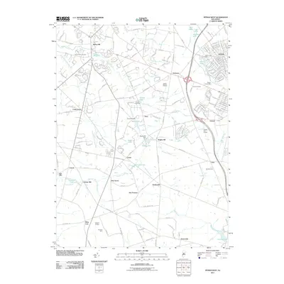
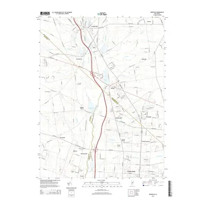
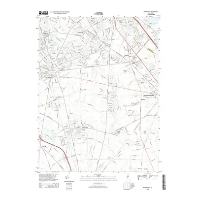
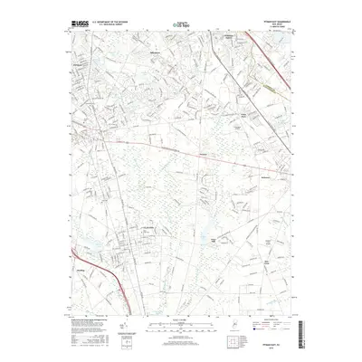
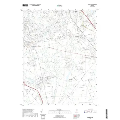
 2011 Pitman East2011 Print · USGSCovers Franklin Township, including Washington Township, Winslow Township, and other nearby areas
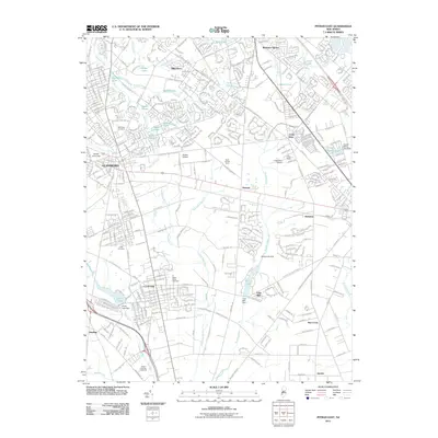
 - 2011 Map of Newfield, 2011 Print
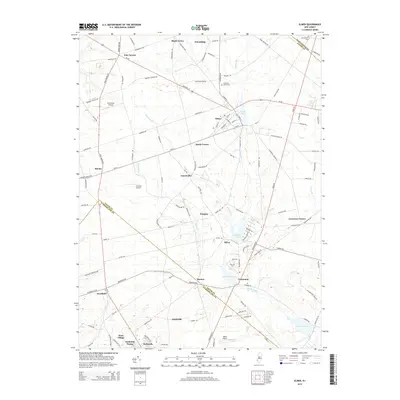
 2011 Newfield2011 Print · USGSCovers Franklin Township, including Vineland, Newfield, and other nearby areas
 - 2011 Map of Elmer, 2011 Print
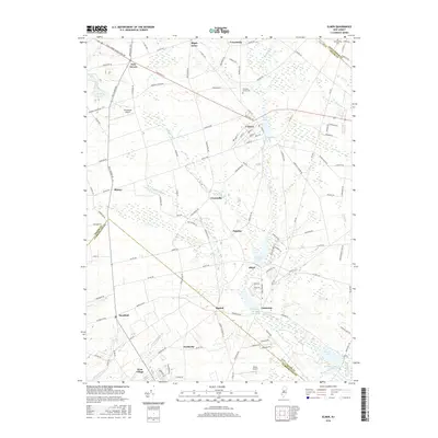
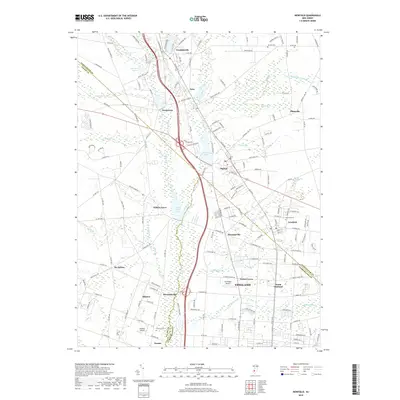
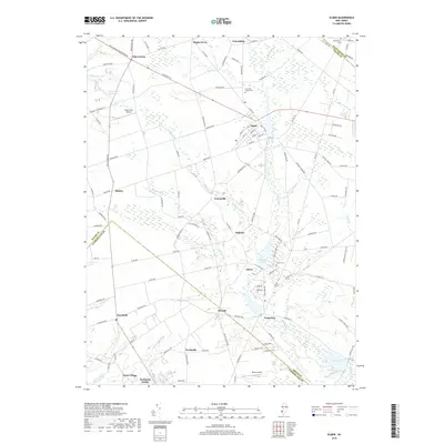
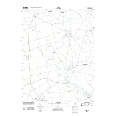 2011 Elmer2011 Print · USGSCovers Franklin Township, including Deerfield, Alloway Township, and other nearby areas
 - 2014 Map of Elmer, 2014 Print
 2014 Elmer2014 Print · USGSCovers Franklin Township, including Deerfield, Alloway Township, and other nearby areas
 - 2014 Map of Newfield, 2014 Print
 2014 Newfield2014 Print · USGSCovers Franklin Township, including Vineland, Newfield, and other nearby areas
 - 2014 Map of Buena, 2014 Print
 2014 Buena2014 Print · USGSCovers Franklin Township, including Vineland, Winslow Township, and other nearby areas
 - 2014 Map of Pitman West, 2014 Print
 2014 Pitman West2014 Print · USGSCovers Franklin Township, including Glassboro, Mantua Township, and other nearby areas
 - 2014 Map of Pitman East, 2014 Print
 2014 Pitman East2014 Print · USGSCovers Franklin Township, including Washington Township, Winslow Township, and other nearby areas
 - 2014 Map of Williamstown, 2014 Print
 2014 Williamstown2014 Print · USGSCovers Franklin Township, including Sicklerville, Winslow Township, and other nearby areas
 - 2016 Map of Williamstown, 2016 Print
 2016 Williamstown2016 Print · USGSCovers Franklin Township, including Sicklerville, Winslow Township, and other nearby areas
 - 2016 Map of Buena, 2016 Print
 2016 Buena2016 Print · USGSCovers Franklin Township, including Vineland, Winslow Township, and other nearby areas
 - 2016 Map of Elmer, 2016 Print
 2016 Elmer2016 Print · USGSCovers Franklin Township, including Deerfield, Alloway Township, and other nearby areas
 - 2016 Map of Pitman West, 2016 Print
 2016 Pitman West2016 Print · USGSCovers Franklin Township, including Glassboro, Mantua Township, and other nearby areas
 - 2016 Map of Newfield, 2016 Print
 2016 Newfield2016 Print · USGSCovers Franklin Township, including Vineland, Newfield, and other nearby areas
 - 2016 Map of Pitman East, 2016 Print
 2016 Pitman East2016 Print · USGSCovers Franklin Township, including Washington Township, Winslow Township, and other nearby areas
 - 2019 Map of Buena, 2019 Print
 2019 Buena2019 Print · USGSCovers Franklin Township, including Vineland, Winslow Township, and other nearby areas
 - 2019 Map of Williamstown, 2019 Print
 2019 Williamstown2019 Print · USGSCovers Franklin Township, including Sicklerville, Winslow Township, and other nearby areas
 - 2019 Map of Pitman West, 2019 Print
 2019 Pitman West2019 Print · USGSCovers Franklin Township, including Glassboro, Mantua Township, and other nearby areas
 - 2019 Map of Newfield, 2019 Print
 2019 Newfield2019 Print · USGSCovers Franklin Township, including Vineland, Newfield, and other nearby areas
 - 2019 Map of Pitman East, 2019 Print
 2019 Pitman East2019 Print · USGSCovers Franklin Township, including Washington Township, Winslow Township, and other nearby areas
 - 2019 Map of Elmer, 2019 Print
 2019 Elmer2019 Print · USGSCovers Franklin Township, including Deerfield, Alloway Township, and other nearby areas
 - 2023 Map of Newfield, 2023 Print
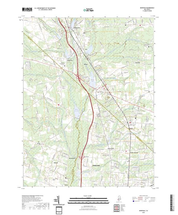 2023 Newfield2023 Print · USGSSouthern New Jersey's coastal plain comes into focus in this contemporary survey where the crossroads of three counties meet. Genealogists and historians can trace family roots through sites like Porchtown Zion Methodist Church,Cem, Rose Hill Cem, and the small aviation history found at Kroelinger Airport.
Showing maps 1-25 of 30
Top cities near Franklin Township
- Vineland historical maps
- Washington Township historical maps
- Sicklerville historical maps
- Winslow Township historical maps
- Monroe Township historical maps
- Deptford Township historical maps
See more
Top neighborhoods of Franklin Township
- Franklinville historical maps
- Fries Mill historical maps
- Iona historical maps
- Janvier historical maps
- Malaga historical maps
- Piney Hollow historical maps
See more
Frequently asked questions
- What are the different types of historical maps available for Franklin Township?
- What is the oldest map of Franklin Township?
- Where can I purchase historical maps of Franklin Township for my home or office?
- Where can I download high-res historical maps of Franklin Township?
- Are there historical topographic maps available for Franklin Township?
- Is there historical aerial imagery available for Franklin Township?
- Where are historical maps of Franklin Township sourced from?