1900s (20th Century) Maps of Hudson County, New Jersey
Explore 43 historic maps of Hudson County from the 1900s (20th Century). These maps offer a rare glimpse into what life looked like during the 1900s — showing old roads, neighborhoods, homes, and landmarks that have changed or disappeared over time.
Whether you're researching your family's past, planning a metal detecting trip, or studying how Hudson County's landscape evolved across the 1900s, these high-resolution maps are a powerful tool for exploring the history of this region.
- Focus on a specific era: All maps on this page are from the 1900s, giving you a focused view of this time period.
- See what’s changed: Compare century-old streets, trails, and buildings to today's modern landscape using overlays and satellite layers.
- Research with precision: Use these maps for genealogy, historical research, land use analysis, or educational projects.
- View, download, or print: Maps are fully viewable online in high resolution, and can be downloaded or printed for your own records.
Start exploring Hudson County's history through authentic maps from the 1900s. This is your window into the past.
Hudson County, NJ maps
(43)- 1900 Map of Passaic
 1900 Passaic1900 Print · USGSNorthern New Jersey and the New York Harbor are captured here at the close of the nineteenth century, showing a landscape defined by rail, river, and coastal defense. Researchers can trace the original path of the Morris Canal, locate Seton Hall College, and explore the batteries at Fort Wadsworth.
 - 1900 Map of Paterson
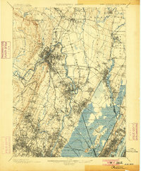 1900 Paterson1900 Print · USGSNortheastern New Jersey at the turn of the century shows a landscape defined by the Morris Canal and a dense network of early railroads. Researchers can trace ancestral roots through vanished rail stops and sites like Laurel Grove Cemetery, Wortendyke, and Sicomac.
 - 1900 Map of Staten Island
 1900 Staten Island1900 Print · USGSThe New York and New Jersey harbor comes alive in the late Victorian era, showing Staten Island when small villages and defensive forts still defined the coastline. Trace family roots and vanished landmarks through Fort Wadsworth, the Morris Canal, and historic settlements like Rossville or Tottenville.10 unique versions available
 - 1900 Map of Harlem
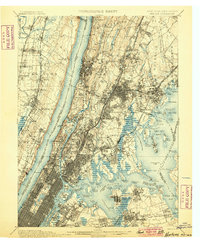 1900 Harlem1900 Print · USGSUpper Manhattan and the surrounding boroughs are shown at a pivotal moment of growth before the mid-century building boom. Genealogists can trace family footprints through the streets of Yonkers Park or locate ancestors in the sprawling Woodlawn Cemetery.16 unique versions available
 - 1903 Map of Paterson
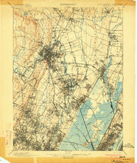 1903 Paterson1903 Print · USGSNorthern New Jersey's transition from an industrial river valley to a dense rail-connected region is captured here just after the turn of the century. You can trace the path of the Morris Canal, locate the old Dundee Dam, or find early settlements like Peetzburg and Etna.8 unique versions available
 - 1905 Map of Passaic
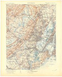 1905 Passaic1905 Print · USGSNorthern New Jersey and Staten Island appear here at a pivotal moment of early 20th-century growth and industrialization. Researchers can trace the development of transit hubs like Convent Sta. or locate legacy landmarks including Hillside Cemetery and the Moravian Cemetery.4 unique versions available
 - 1935 Map of Weehawken
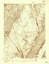 1935 Weehawken1935 Print · USGSBergen and Hudson counties in the mid-1930s show a dense grid of riverfront industry and rail lines interwoven with tidal marshes. Genealogists and historians can locate numerous cemeteries like Holy Cross Cem or trace institutional landmarks like the Hudson County Hospital.
 - 1940 Map of Weehawken
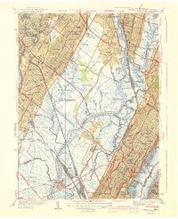 1940 Weehawken1940 Print · USGSBergen and Hudson Counties are shown just before the wartime industrial boom, highlighting a landscape where massive rail yards met expansive tidal marshes. Researchers can trace ancestral roots through dozens of local landmarks like Flower Hill Cem, Bendix Airport, and the Hudson County Penitentiary.3 unique versions available
 - 1942 Map of Passaic
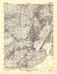 1942 Passaic1942 Print · USGSNorthern New Jersey and New York harbor appear in detail at the start of the war, showing a landscape of burgeoning suburbs and vital industry. Trace family roots and local history across the Passaic River valley, from Paterson to the Watchung Mountains.
 - 1943 Map of Weehawken
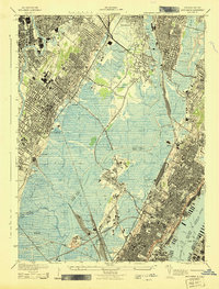 1943 Weehawken1943 Print · USGSNorthern New Jersey during the Second World War was a vital industrial hub of rail yards and river commerce. Researchers can trace ancestral roots through urban street grids and find landmarks like the Monastery, Bendix Airport, and Secaucus Yards.
 - 1944 Map of Newark, 1971 Print
 1944 Newark1971 Print · USGSThe industrial corridor from Philadelphia to New York was in a period of massive transition during the mid-forties. Genealogists and researchers can trace the rail lines of the Lehigh Valley RR, locate military installations like Picatinny Arsenal, and explore the early sprawl near Levittown.5 unique versions available
 - 1947 Map of Jersey City
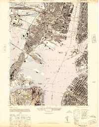 1947 Jersey City1947 Print · USGSThe harbor was a hive of industrial and maritime activity just after the war, featuring the intricate rail networks of the Lackawanna and Pennsylvania lines. Trace the early footprints of the Holland Vehicular Tunnels and landmarks like the Statue of Liberty.
 - 1947 Map of Elizabeth
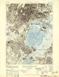 1947 Elizabeth1947 Print · USGSIn the late 1940s, the industrial corridor between Newark and Staten Island reached its peak of rail and maritime activity. Researchers can trace the development of Newark Airport, identify local parish sites like St James, and locate vanished rail stops such as Bay Way Sta.2 unique versions available
 - 1947 Map of Weehawken
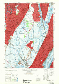 1947 Weehawken1947 Print · USGSNorthwestern New Jersey’s industrial heartland is captured here at a post-war peak of rail and aviation development. Genealogists and historians can trace the intricate rail networks of the Secaucus Yards or locate local landmarks like Lodi Cem and Bendix Airport.
 - 1947 Map of Orange
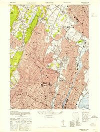 1947 Orange1947 Print · USGSEssex County in the late 1940s reveals a bustling landscape of industrial rail lines and developing suburban neighborhoods. Trace family roots and local landmarks from Overbrook Hospital to the fairways of Montclair Golf Course and Nutley.
 - 1947 Map of Central Park
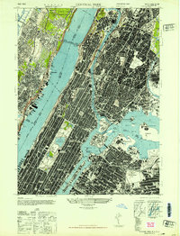 1947 Central Park1947 Print · USGSUpper Manhattan and the surrounding boroughs appear in the mid-1940s, a time of dense rail networks and burgeoning aviation. Researchers can locate vanished landmarks like the Polo Grounds, trace family plots in St Michels Cemetery, or study the early layout of La Guardia Field.
 - 1949 Map of Newark
 1949 Newark1949 Print · USGSThe industrial corridor between Philadelphia and New York comes alive in this post-war survey. Genealogists and historians can trace the massive rail networks of the Reading Railroad and locate major installations like Fort Dix or Picatinny Arsenal.2 unique versions available
 - 1949 Map of New York, 1951 Print
 1949 New York1951 Print · USGSLong Island and its surrounding waters are documented here in the late 1940s, just as the postwar suburban boom began to transform the region. Genealogists and historians can trace the early layouts of Idlewild Airport, Mitchell Field, and the established routes of the Long Island RR.
 - 1954 Map of New York
 1954 New York1954 Print · USGSLong Island and the New York metropolitan area are shown during the height of post-war suburbanization. Genealogists and historians can trace the growth of Levittown, the infrastructure of the Long Island Rail Road, and landmarks like Mitchel Afb.2 unique versions available
 - 1955 Map of Elizabeth, 1958 Print
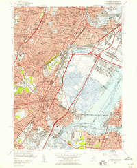 1955 Elizabeth1958 Print · USGSGreater Newark and Elizabeth are shown here at a peak of industrial and transit development during the mid-fifties. Genealogists and urban historians can trace local parish schools like St Marys Sch, the vast Evergreen Cemetery, and the early layout of Newark Airport.2 unique versions available
 - 1955 Map of Weehawken, 1958 Print
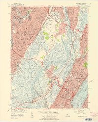 1955 Weehawken1958 Print · USGSThe industrial heart of the New Jersey Meadowlands and the Hudson waterfront are captured here just as the turnpike and tunnel networks were reshaping the region. Researchers can trace historic parochial sites like St Michaels Monastery and local landmarks from Teterboro Airport to Roosevelt Stadium.2 unique versions available
 - 1955 Map of Orange, 1958 Print
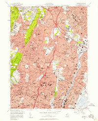 1955 Orange1958 Print · USGSEssex County enters the mid-fifties with a landscape of maturing suburbs and sprawling hilltop institutions. Genealogists can locate family landmarks like Holy Name Cemetery or Our Lady of Lourdes Sch while tracing the Erie RR and early Garden State Parkway.4 unique versions available
 - 1955 Map of Jersey City, 1958 Print
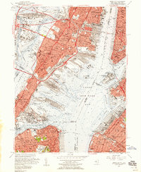 1955 Jersey City1958 Print · USGSMid-century Jersey City and the New York Harbor waterfront appear at their industrial peak, showcasing a landscape of massive rail yards and active piers. Researchers can trace the sprawling Greenville Yards, the Naval Reservation Bayonne Supply Depot, and local landmarks like Roosevelt Stadium.2 unique versions available
 - 1956 Map of Newark
 1956 Newark1956 Print · USGSThe industrial heart of the Mid-Atlantic is captured here at the dawn of the highway era, tracing the dense corridors between Newark and Philadelphia. Genealogists and local historians can map the rail networks of the Reading RR or locate mid-century military life at Fort Dix Military Reservation.2 unique versions available
 - 1956 Map of Central Park, 1959 Print
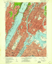 1956 Central Park1959 Print · USGSMid-century New York and its surrounding boroughs are shown at a peak of urban density, from the heights of the Bronx to the Jersey shoreline. Researchers can trace institutional landmarks like Columbia University, the Metropolitan Museum of Art, and St Michaels Cem.2 unique versions available
Showing maps 1-25 of 43
Top cities of Hudson County
- Jersey City historical maps
- Union City historical maps
- North Bergen historical maps
- Bayonne historical maps
- West New York historical maps
- Hoboken historical maps
See more
Frequently asked questions
- What are the different types of historical maps available for Hudson County?
- What is the oldest map of Hudson County?
- Where can I purchase historical maps of Hudson County for my home or office?
- Where can I download high-res historical maps of Hudson County?
- Are there historical topographic maps available for Hudson County?
- Is there historical aerial imagery available for Hudson County?
- Where are historical maps of Hudson County sourced from?