2000s (21st Century) Maps of Kearny, New Jersey
Explore 20 historic maps of Kearny from the 2000s (21st Century). These maps offer a rare glimpse into what life looked like during the 2000s — showing old roads, neighborhoods, homes, and landmarks that have changed or disappeared over time.
Whether you're researching your family's past, planning a metal detecting trip, or studying how Kearny's landscape evolved across the 2000s, these high-resolution maps are a powerful tool for exploring the history of this region.
- Focus on a specific era: All maps on this page are from the 2000s, giving you a focused view of this time period.
- See what’s changed: Compare century-old streets, trails, and buildings to today's modern landscape using overlays and satellite layers.
- Research with precision: Use these maps for genealogy, historical research, land use analysis, or educational projects.
- View, download, or print: Maps are fully viewable online in high resolution, and can be downloaded or printed for your own records.
Start exploring Kearny's history through authentic maps from the 2000s. This is your window into the past.
Kearny, NJ maps
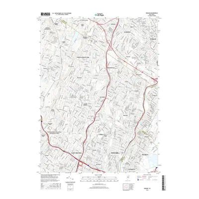
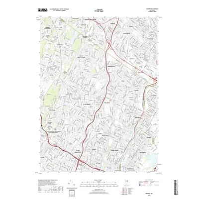
(20)- 2011 Map of Orange, 2011 Print
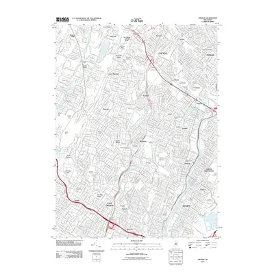 2011 Orange2011 Print · USGSCovers Kearny, including Newark, Clifton, and other nearby areas
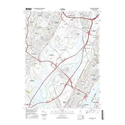
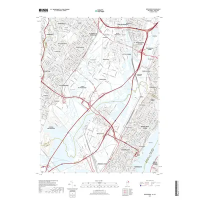
 - 2011 Map of Weehawken, 2011 Print
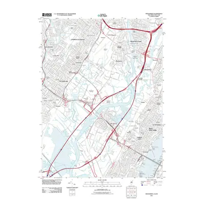 2011 Weehawken2011 Print · USGSCovers Kearny, including New York, Jersey City, and other nearby areas
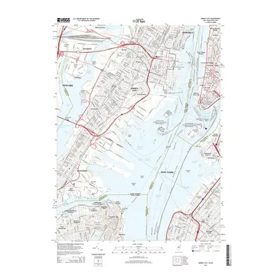
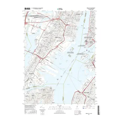
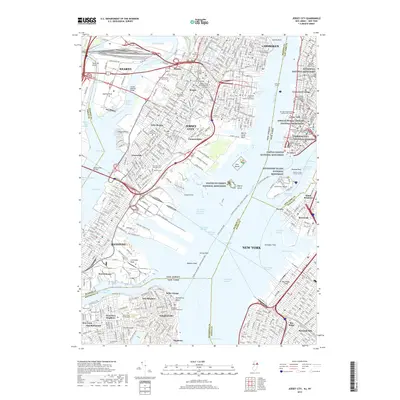
 - 2011 Map of Jersey City, 2011 Print
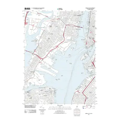 2011 Jersey City2011 Print · USGSCovers Kearny, including New York, Newark, and other nearby areas
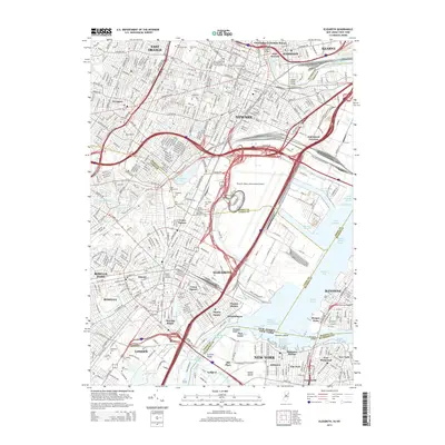
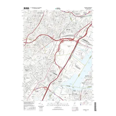
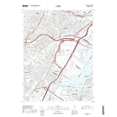
 - 2011 Map of Elizabeth, 2011 Print
 2011 Elizabeth2011 Print · USGSCovers Kearny, including New York, Newark, and other nearby areas
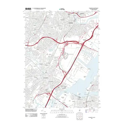
 - 2014 Map of Jersey City, 2014 Print
 2014 Jersey City2014 Print · USGSCovers Kearny, including New York, Newark, and other nearby areas
 - 2014 Map of Orange, 2014 Print
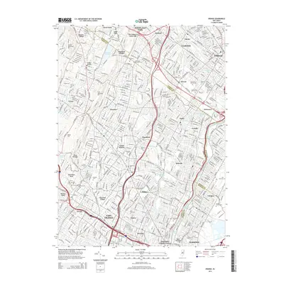 2014 Orange2014 Print · USGSCovers Kearny, including Newark, Clifton, and other nearby areas
 - 2014 Map of Weehawken, 2014 Print
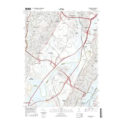 2014 Weehawken2014 Print · USGSCovers Kearny, including New York, Jersey City, and other nearby areas
 - 2014 Map of Elizabeth, 2014 Print
 2014 Elizabeth2014 Print · USGSCovers Kearny, including New York, Newark, and other nearby areas
 - 2016 Map of Orange, 2016 Print
 2016 Orange2016 Print · USGSCovers Kearny, including Newark, Clifton, and other nearby areas
 - 2016 Map of Weehawken, 2016 Print
 2016 Weehawken2016 Print · USGSCovers Kearny, including New York, Jersey City, and other nearby areas
 - 2016 Map of Jersey City, 2016 Print
 2016 Jersey City2016 Print · USGSCovers Kearny, including New York, Newark, and other nearby areas
 - 2016 Map of Elizabeth, 2016 Print
 2016 Elizabeth2016 Print · USGSCovers Kearny, including New York, Newark, and other nearby areas
 - 2019 Map of Jersey City, 2019 Print
 2019 Jersey City2019 Print · USGSCovers Kearny, including New York, Newark, and other nearby areas
 - 2019 Map of Weehawken, 2019 Print
 2019 Weehawken2019 Print · USGSCovers Kearny, including New York, Jersey City, and other nearby areas
 - 2019 Map of Orange, 2019 Print
 2019 Orange2019 Print · USGSCovers Kearny, including Newark, Clifton, and other nearby areas
 - 2019 Map of Elizabeth, 2019 Print
 2019 Elizabeth2019 Print · USGSCovers Kearny, including New York, Newark, and other nearby areas
 - 2023 Map of Jersey City, 2023 Print
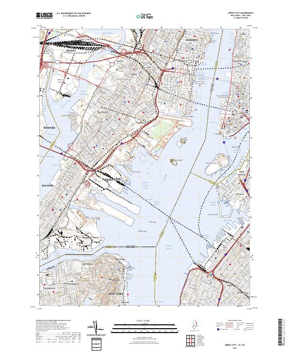 2023 Jersey City2023 Print · USGSThe harbor-hugging urban landscape of the New York and New Jersey waterfronts comes into focus in the early 2020s. Trace local history through landmark sites like Sailors Snug Harbor, Dow's Ferry, and the Holy Name Cem and Mausoleum.
 - 2023 Map of Elizabeth, 2023 Print
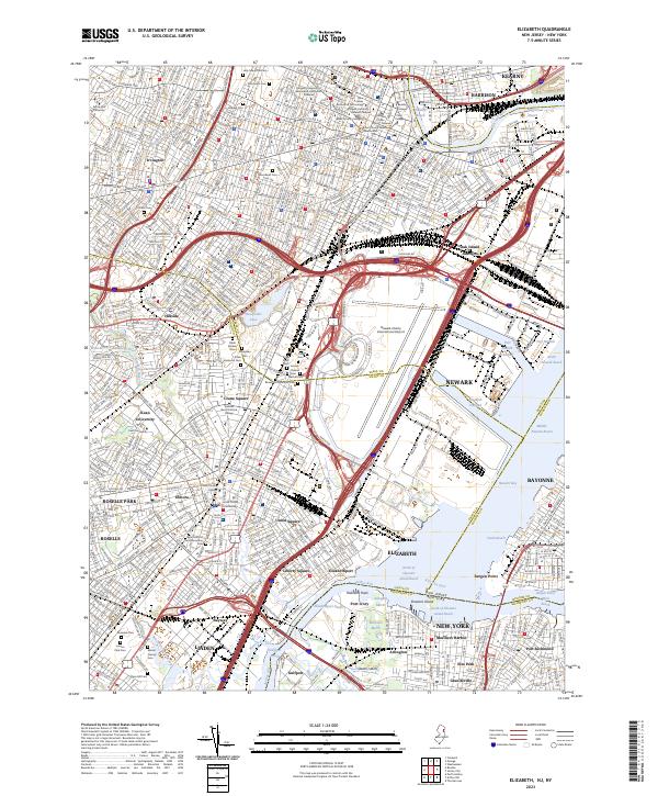 2023 Elizabeth2023 Print · USGSThe industrial corridor of ELIZABETH and NEWARK comes alive in this detailed look at New Jersey's maritime and rail hubs. Genealogists and historians can trace the dense urban blocks of Elmora, locate Saint Mary of the Assumption, or explore the many grounds of Mount Olivet Cem and Holy Sepulchre Cem.
 - 2023 Map of Weehawken, 2023 Print
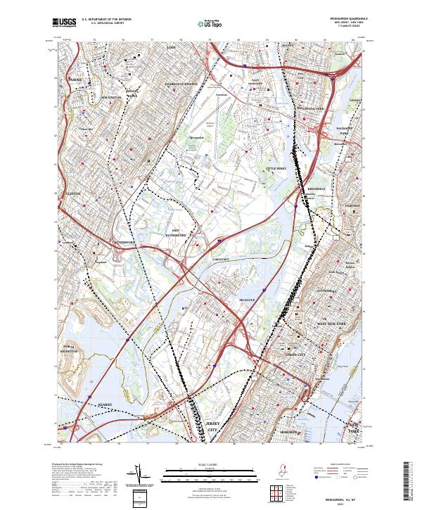 2023 Weehawken2023 Print · USGSThe Meadowlands and the urban corridor of North Jersey are captured here in the early twenty-first century. Researchers can trace historic cemeteries like Hoboken Cem and Saint Michael's Cem or locate institutional landmarks such as Felician University.
 - 2023 Map of Orange, 2023 Print
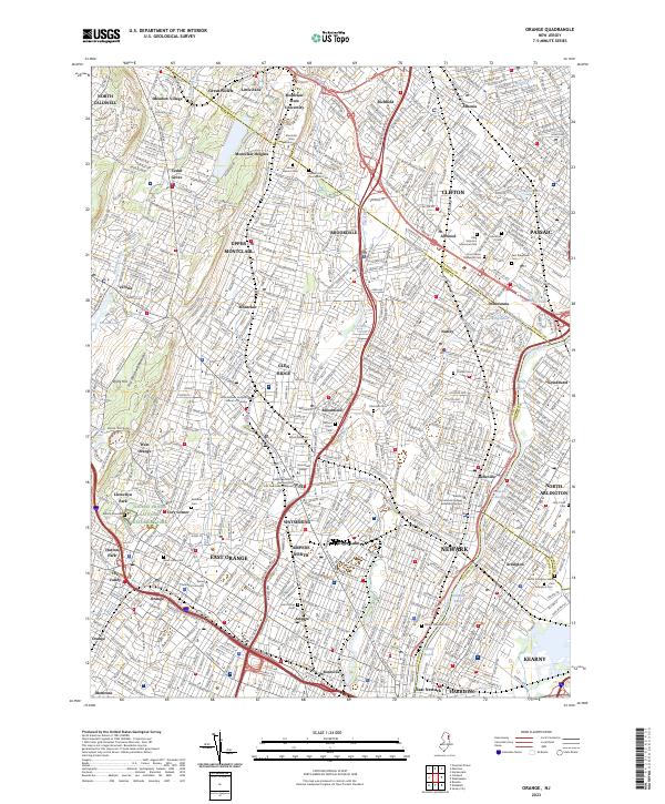 2023 Orange2023 Print · USGSThe industrial heart of Essex County is on full display in this recent survey, from the First Watchung Mountain ridges to the Passaic River banks. Genealogists and historians can trace Edison's legacy, explore Llewellyn Park, and locate numerous burial sites like Rosedale Cem.
End of results
Showing maps 1-20 of 20
Top cities near Kearny
- New York historical maps
- Newark historical maps
- Jersey City historical maps
- Yonkers historical maps
- Paterson historical maps
- Elizabeth historical maps
See more
Top neighborhoods of Kearny
Frequently asked questions
- What are the different types of historical maps available for Kearny?
- What is the oldest map of Kearny?
- Where can I purchase historical maps of Kearny for my home or office?
- Where can I download high-res historical maps of Kearny?
- Are there historical topographic maps available for Kearny?
- Is there historical aerial imagery available for Kearny?
- Where are historical maps of Kearny sourced from?