2000s (21st Century) Maps of Sayreville, New Jersey
Explore 20 historic maps of Sayreville from the 2000s (21st Century). These maps offer a rare glimpse into what life looked like during the 2000s — showing old roads, neighborhoods, homes, and landmarks that have changed or disappeared over time.
Whether you're researching your family's past, planning a metal detecting trip, or studying how Sayreville's landscape evolved across the 2000s, these high-resolution maps are a powerful tool for exploring the history of this region.
- Focus on a specific era: All maps on this page are from the 2000s, giving you a focused view of this time period.
- See what’s changed: Compare century-old streets, trails, and buildings to today's modern landscape using overlays and satellite layers.
- Research with precision: Use these maps for genealogy, historical research, land use analysis, or educational projects.
- View, download, or print: Maps are fully viewable online in high resolution, and can be downloaded or printed for your own records.
Start exploring Sayreville's history through authentic maps from the 2000s. This is your window into the past.
Sayreville, NJ maps
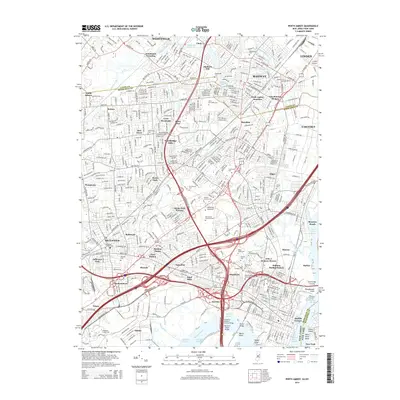
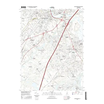
(20)- 2011 Map of New Brunswick, 2011 Print
 2011 New Brunswick2011 Print · USGSCovers Sayreville, including Edison, Franklin Township, and other nearby areas
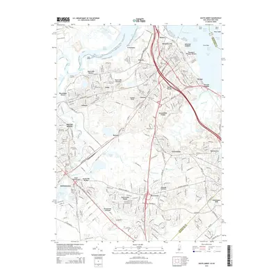
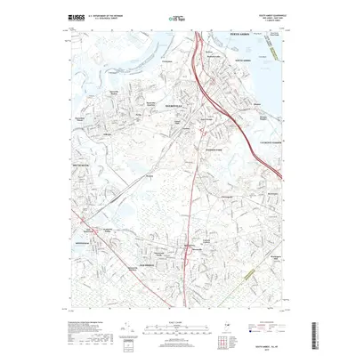
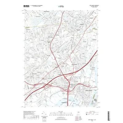
 - 2011 Map of South Amboy, 2011 Print
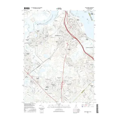
 2011 South Amboy2011 Print · USGSCovers Sayreville, including New York, Edison, and other nearby areas
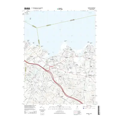
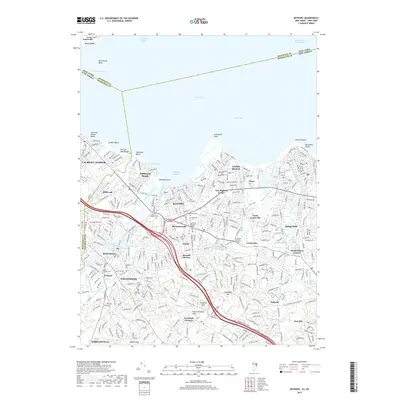
 - 2011 Map of Keyport, 2011 Print
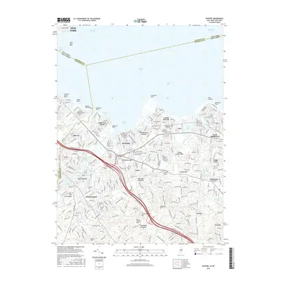
 2011 Keyport2011 Print · USGSCovers Sayreville, including New York, Middletown Township, and other nearby areas
 - 2011 Map of Perth Amboy, 2011 Print
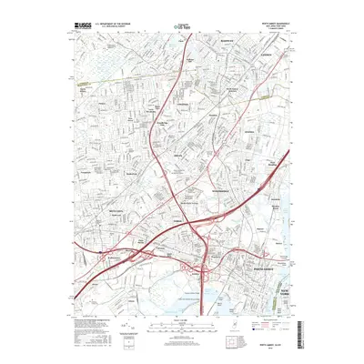
 2011 Perth Amboy2011 Print · USGSCovers Sayreville, including New York, Edison, and other nearby areas
 - 2014 Map of Perth Amboy, 2014 Print
 2014 Perth Amboy2014 Print · USGSCovers Sayreville, including New York, Edison, and other nearby areas
 - 2014 Map of Keyport, 2014 Print
 2014 Keyport2014 Print · USGSCovers Sayreville, including New York, Middletown Township, and other nearby areas
 - 2014 Map of South Amboy, 2014 Print
 2014 South Amboy2014 Print · USGSCovers Sayreville, including New York, Edison, and other nearby areas
 - 2014 Map of New Brunswick, 2014 Print
 2014 New Brunswick2014 Print · USGSCovers Sayreville, including Edison, Franklin Township, and other nearby areas
 - 2016 Map of South Amboy, 2016 Print
 2016 South Amboy2016 Print · USGSCovers Sayreville, including New York, Edison, and other nearby areas
 - 2016 Map of Keyport, 2016 Print
 2016 Keyport2016 Print · USGSCovers Sayreville, including New York, Middletown Township, and other nearby areas
 - 2016 Map of Perth Amboy, 2016 Print
 2016 Perth Amboy2016 Print · USGSCovers Sayreville, including New York, Edison, and other nearby areas
 - 2016 Map of New Brunswick, 2016 Print
 2016 New Brunswick2016 Print · USGSCovers Sayreville, including Edison, Franklin Township, and other nearby areas
 - 2019 Map of South Amboy, 2019 Print
 2019 South Amboy2019 Print · USGSCovers Sayreville, including New York, Edison, and other nearby areas
 - 2019 Map of New Brunswick, 2019 Print
 2019 New Brunswick2019 Print · USGSCovers Sayreville, including Edison, Franklin Township, and other nearby areas
 - 2019 Map of Keyport, 2019 Print
 2019 Keyport2019 Print · USGSCovers Sayreville, including New York, Middletown Township, and other nearby areas
 - 2019 Map of Perth Amboy, 2019 Print
 2019 Perth Amboy2019 Print · USGSCovers Sayreville, including New York, Edison, and other nearby areas
 - 2023 Map of Keyport, 2023 Print
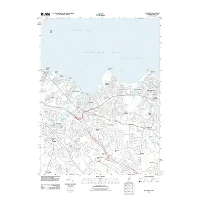
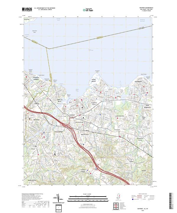 2023 Keyport2023 Print · USGSThe Monmouth County shoreline and Raritan Bay reaches are meticulously detailed in this recent survey of New Jersey's coastal communities. Researchers can trace local heritage through numerous named landmarks like Green Grove Cem, Telegraph Hill, and the settlement at Mechanicsville.
 - 2023 Map of New Brunswick, 2023 Print
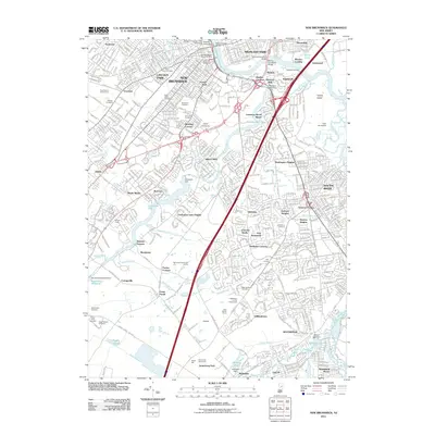
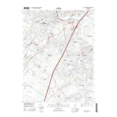
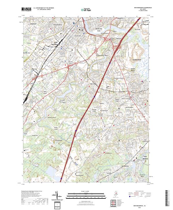 2023 New Brunswick2023 Print · USGSNew Brunswick and its neighboring boroughs are shown here at a peak of modern suburban development. Genealogists and historians can trace numerous family sites at Saint Peters Cem, Elmwood Cem, and the historic Berdines Corners.
 - 2023 Map of South Amboy, 2023 Print
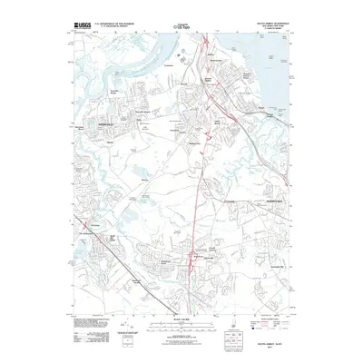
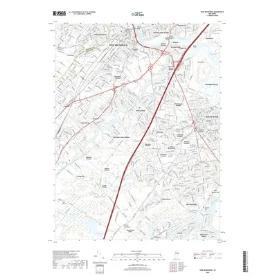
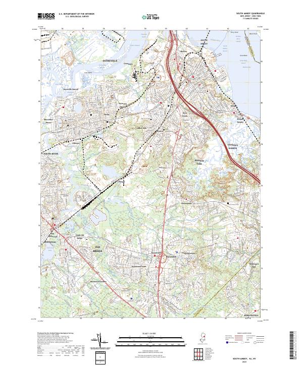 2023 South Amboy2023 Print · USGSMiddlesex County’s industrial riverfront and sprawling suburbs are caught in great detail here during the early twenty-first century. Researchers can trace dozens of local burial sites like Old Calvary Cem or locate the historic Henningers Mill.
 - 2023 Map of Perth Amboy, 2023 Print
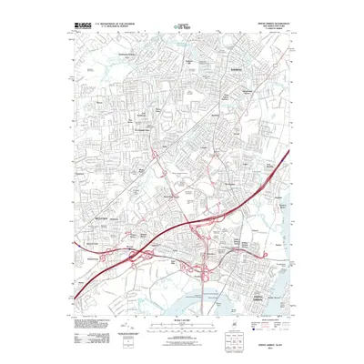
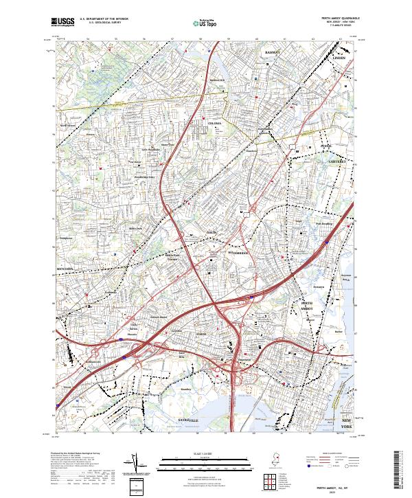 2023 Perth Amboy2023 Print · USGSThe industrial and suburban landscape of Middlesex County is shown here during a phase of modern density. Genealogists and historians can locate numerous burial sites and institutions, including Metuchen Colonial Cem, Clara Barton, and the Middlesex County College campus.
End of results
Showing maps 1-20 of 20
Top cities near Sayreville
- New York historical maps
- Newark historical maps
- Jersey City historical maps
- Elizabeth historical maps
- Edison historical maps
- Woodbridge Township historical maps
See more
Top neighborhoods of Sayreville
- Crossmans historical maps
- Tangletown historical maps
- Ernston historical maps
- Gillespie historical maps
- Morgan Heights historical maps
- Sayreville Station historical maps
See more
Frequently asked questions
- What are the different types of historical maps available for Sayreville?
- What is the oldest map of Sayreville?
- Where can I purchase historical maps of Sayreville for my home or office?
- Where can I download high-res historical maps of Sayreville?
- Are there historical topographic maps available for Sayreville?
- Is there historical aerial imagery available for Sayreville?
- Where are historical maps of Sayreville sourced from?