1900s (20th Century) Maps of Barnegat Township, New Jersey
Explore 26 historic maps of Barnegat Township from the 1900s (20th Century). These maps offer a rare glimpse into what life looked like during the 1900s — showing old roads, neighborhoods, homes, and landmarks that have changed or disappeared over time.
Whether you're researching your family's past, planning a metal detecting trip, or studying how Barnegat Township's landscape evolved across the 1900s, these high-resolution maps are a powerful tool for exploring the history of this region.
- Focus on a specific era: All maps on this page are from the 1900s, giving you a focused view of this time period.
- See what’s changed: Compare century-old streets, trails, and buildings to today's modern landscape using overlays and satellite layers.
- Research with precision: Use these maps for genealogy, historical research, land use analysis, or educational projects.
- View, download, or print: Maps are fully viewable online in high resolution, and can be downloaded or printed for your own records.
Start exploring Barnegat Township's history through authentic maps from the 1900s. This is your window into the past.
Barnegat Township, NJ maps
(26)- 1919 Map of Long Beach
 1919 Long Beach1919 Print · USGSThe New Jersey shore during the early twentieth century was a landscape of remote Life Saving Stations and emerging rail-side hamlets. Genealogists and historians can trace the early footprints of Beach Haven and Harvey Cedars along the Long Beach Railroad.
 - 1919 Map of Barnegat, 1921 Print
 1919 Barnegat1921 Print · USGSCoastal Ocean County comes alive in the years after the Great War, showing a landscape of barrier island settlements and mainland rail stops. Genealogists and historians can trace early shore life through the string of Life Saving Stations, the Barnegat Light, and old rail stops like Pinewald Sta. or Ostrom Sta.
 - 1920 Map of Little Egg Harbor
 1920 Little Egg Harbor1920 Print · USGSThe New Jersey shore south of Manahawken was a landscape of salt marshes and pine plains during the early twentieth century. Genealogists and historians can trace the old Tuckerton Railroad line and find now-changed coastal landmarks like Tucker Beach and Stafford Forge.
 - 1941 Map of Toms River
 1941 Toms River1941 Print · USGSCoastal New Jersey's riverfronts and barrier islands are captured here just before the mid-century boom. Trace historic family sites and early infrastructure at Double Trouble, Murray Grove Cemetery, and the Pinewald Golf Course.2 unique versions available
 - 1941 Map of Long Beach
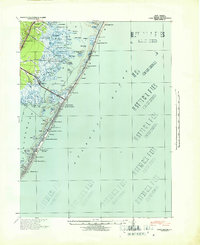 1941 Long Beach1941 Print · USGSLong Beach Island and the Jersey Shore appear here just before the mid-century, showing a string of coastal villages linked by the Pennsylvania Railroad. Genealogists and historians can trace property near Long Beach Township Hall or explore early bayside landmarks like Ship Bottom and Harvey Cedars.
 - 1942 Map of Whiting
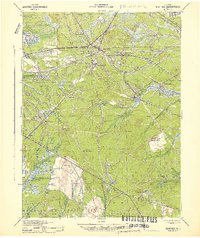 1942 Whiting1942 Print · USGSThe Jersey Pine Barrens are captured here during the early years of the war, showing the region's transition between industry and military use. Genealogists and historians can trace old settlements like Woodmansie, early aviation at Coyle Field, and the rail junction at Whiting.2 unique versions available
 - 1942 Map of Tuckerton
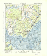 1942 Tuckerton1942 Print · USGSThe Jersey Shore and Pine Barrens meet here just as the coastal infrastructure was maturing before mid-century. Researchers can trace the layout of Tuckerton, locate the old Stafford Forge, and explore the maze of sedges in Little Egg Harbor.2 unique versions available
 - 1946 Map of Wilmington, 1948 Print
 1946 Wilmington1948 Print · USGSThe Delaware Valley and Jersey Shore emerge in this mid-century portrait of a region defined by river commerce and seaside growth. Genealogists and historians can trace the rail networks of the Pennsylvania Railroad, locate early airfields like Dover Airpark, and find river defenses at Fort Delaware.2 unique versions available
 - 1948 Map of Long Beach
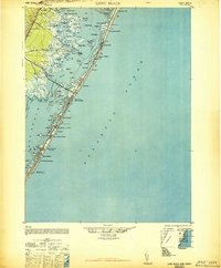 1948 Long Beach1948 Print · USGSLong Beach Island is shown in the late 1940s as a series of growing seaside communities and strategic maritime stations. Researchers can trace the early layout of Surf City, Beach Haven, and the Harvey Cedars CG 115 coast guard facility.3 unique versions available
 - 1948 Map of Toms River
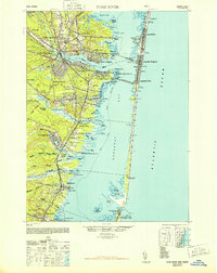 1948 Toms River1948 Print · USGSThe Jersey Shore's mid-century landscape is preserved here, from the mainland settlements of Toms River to the narrow barrier of Island Beach. Genealogists can trace family landmarks like the Friends Meeting Cemetery and Murray Grove Cemetery as the coastal rail lines linked the bay towns.6 unique versions available
 - 1949 Map of Whiting, 1954 Print
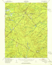 1949 Whiting1954 Print · USGSThe Pinelands of Ocean and Burlington Counties are shown just after the war, when rail hubs and forest reserves defined the landscape. Genealogists and historians can trace the junction at Whiting or locate smaller sites like Woodmansie, the Clay Works, and Keswick Grove.3 unique versions available
 - 1951 Map of Woodmansie
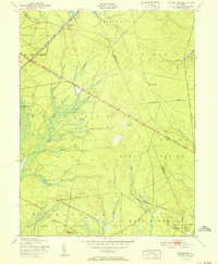 1951 Woodmansie1951 Print · USGSThe New Jersey Pine Barrens are captured here in the early fifties, showing a landscape of state forests and specialized agriculture. Researchers can trace the Central Railroad of New Jersey through Woodmansie or locate old Cranberry Bogs and the Coyle Airport.2 unique versions available
 - 1951 Map of West Creek
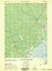 1951 West Creek1951 Print · USGSOcean County in the early fifties shows a landscape of coastal wetlands and pine forests before the era of heavy development. Genealogists can locate specific homesteads and family sites near Staffordville, Mayetta, and the Cedar Run Cem.5 unique versions available
 - 1951 Map of Brookville
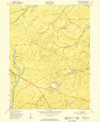 1951 Brookville1951 Print · USGSThe New Jersey Pine Barrens appear in their mid-century quietude here, showing the intersection of Lacey and Ocean townships. Genealogists and historians can trace the early footprints of Brookville, Warren Grove, and the industrial site at Wells Mill.
 - 1952 Map of Ship Bottom, 1954 Print
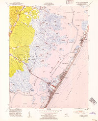 1952 Ship Bottom1954 Print · USGSThe Jersey Shore comes alive in this early 1950s survey of the barrier island and bay marshes during a period of steady coastal growth. Genealogists and historians can trace the street grids of Surf City, Ship Bottom, and Harvey Cedars or locate the Transatlantic Radio Receiver station.5 unique versions available
 - 1953 Map of Forked River, 1958 Print
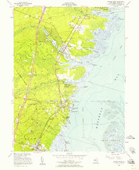 1953 Forked River1958 Print · USGSCoastal Ocean County comes alive in the 1950s, showing the early rise of the Garden State Parkway alongside the Central RR of New Jersey. Genealogists and historians can trace family ties at the Good Luck Cem or Old Waretown Cem.3 unique versions available
 - 1955 Map of Wilmington
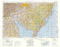 1955 Wilmington1955 Print · USGSThe Delaware Valley and Jersey Shore are seen here during the mid-fifties era of rapid suburban expansion and highway development. You can trace the path of the New Jersey Turnpike, locate the Fort Dix Military Reservation, or explore the rail networks of the Pennsylvania Railroad.
 - 1957 Map of Wilmington
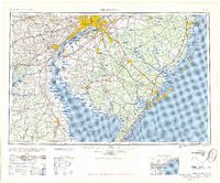 1957 Wilmington1957 Print · USGSThe mid-Atlantic coastal plain comes alive in the mid-fifties as the New Jersey Turnpike and Garden State Parkway redefine travel. Researchers can trace the rail-to-road transition and find landmarks like Ship John Shoal Light and the Fort Dix Military Reservation.2 unique versions available
 - 1957 Map of Woodmansie, 1961 Print
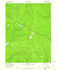 1957 Woodmansie1961 Print · USGSThe Pine Barrens of the late fifties are defined here by secluded rail junctions and the commercial cranberry industry. Researchers can trace the Central RR of New Jersey through Woodmansie or locate specific Cranberry Bogs along the Biddle Branch.5 unique versions available
 - 1957 Map of Brookville, 1961 Print
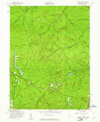 1957 Brookville1961 Print · USGSThe Pine Barrens of Ocean County are shown in the late fifties, during a period of transition and infrastructural growth. Trace family history near Brookville, Howardsville, and the Reevestown Cem, or follow the early route of the Garden State Parkway.5 unique versions available
 - 1959 Map of Wilmington
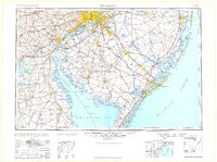 1959 Wilmington1959 Print · USGSThe Delaware Valley and Jersey Shore are seen here in the late fifties, during a period of massive suburban and highway expansion. Researchers can trace mid-century infrastructure like the N J Turnpike or locate coastal landmarks from Barnegat Bay to the Maurice River.3 unique versions available
 - 1966 Map of Wilmington, 1968 Print
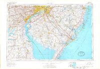 1966 Wilmington1968 Print · USGSThe Delaware Valley and Jersey Shore are seen here in the mid-1960s, documenting a landscape of dense industrial cities and emerging coastal resorts. Researchers can trace the sprawling rail networks of the Pennsylvania Railroad or locate landmarks like Fort Dix Military Reservation and Elk Neck State Park.4 unique versions available
 - 1972 Map of Wilmington, 1976 Print
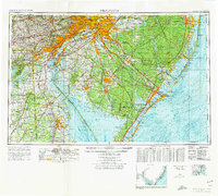 1972 Wilmington1976 Print · USGSThe Delaware Valley and Jersey Shore are seen here in the 1970s, showcasing the region's dense transport networks and vast state forests. Trace early coastal development near Atlantic City or locate rural landmarks like Mount Holly and Dover Air Force Base.2 unique versions available
 - 1984 Map of Hammonton, 1986 Print
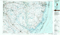 1984 Hammonton1986 Print · USGSSouthern New Jersey is captured in the mid-eighties as suburban growth pressed against the vast Pinelands. Researchers can trace the development of the Atlantic City Expressway corridor and locate landmarks like Ancora Psychiatric Hospital and the sprawling Wharton State Forest.3 unique versions available
 - 1989 Map of Forked River
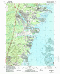 1989 Forked River1989 Print · USGSCoastal Ocean County comes into focus in the late eighties as residential lagoon communities expand along the waterfront. Genealogists and local researchers can locate family sites at Good Luck Cem, trace the corridor of the Garden State Parkway, or explore the grounds of the Forked River State Game Farm.
Showing maps 1-25 of 26
Top cities near Barnegat Township
- Toms River historical maps
- Manchester Township historical maps
- Berkeley Township historical maps
- Galloway Township historical maps
- Stafford Township historical maps
- Lacey Township historical maps
See more
Top neighborhoods of Barnegat Township
- Barnegat Bay historical maps
- Howardsville historical maps
- Pinewood Estates Mobile Home Park historical maps
- Brighton at Barnegat Mobile Home Park historical maps
- Barnegat Estates historical maps
- Cambridge Estates historical maps
See more
Frequently asked questions
- What are the different types of historical maps available for Barnegat Township?
- What is the oldest map of Barnegat Township?
- Where can I purchase historical maps of Barnegat Township for my home or office?
- Where can I download high-res historical maps of Barnegat Township?
- Are there historical topographic maps available for Barnegat Township?
- Is there historical aerial imagery available for Barnegat Township?
- Where are historical maps of Barnegat Township sourced from?