Old Maps of West Milford, New Jersey for Metal Detecting
Plan your next treasure hunt with 52 historic maps of West Milford. Find old homesites, ghost towns, trails, and gathering spots that may be lost to time — perfect for identifying promising metal detecting locations.
- Locate forgotten sites: Uncover places like long-lost settlements, abandoned rail lines, or gathering spots.
- Plan better hunts: Use map overlays combined with LiDAR or satellite views to narrow in on historically rich areas.
- Made for detectorists: Thousands of hobbyists use these maps to discover relics, coins, and hidden history.
Use these historic maps to boost your research and find new opportunities beneath the surface of West Milford.
West Milford, NJ maps
(52)- 1888 Map of Franklin
 1888 Franklin1888 Print · USGSSussex County was a thriving hub of iron mining and rail commerce in the late nineteenth century. Genealogists and historians can trace the early industrial layout of Franklin Furnace, the remote Ogden Mine, and rural junctions like Branchville Junction.
 - 1891 Map of Greenwood Lake
 1891 Greenwood Lake1891 Print · USGSThe Highlands of New York and New Jersey are captured here in the late nineteenth century during a peak era of iron mining and rail expansion. Researchers can trace the industrial footprint of the Sterling Furnace, locate family-named mines like Carey Mine, and follow the historic routes of the New York Susquehanna and Western Railroad.
 - 1893 Map of Greenwood Lake
 1893 Greenwood Lake1893 Print · USGSThe iron-rich highlands of the New York-New Jersey border come to life in this late-century survey of the lakes and ridges between Passaic and Orange counties. Genealogists and industrial historians can trace the paths of the Sterling Mountain Railroad and find long-established sites like Sterling Furnace or the Layton Mines.6 unique versions available
 - 1894 Map of Franklin
 1894 Franklin1894 Print · USGSSussex County was a thriving industrial hub in the late nineteenth century, driven by the iron and zinc deposits of the Highlands. Genealogists and historians can trace the rail-to-mine connections between Franklin Furnace, Ogden Mine, and Deckertown.
 - 1897 Map of Franklin
 1897 Franklin1897 Print · USGSSussex County’s industrial and agricultural heartlands are captured in the late 1890s, centered on the vital mining district and its complex rail network. Genealogists and historians can trace the footprint of early iron and zinc works at Franklin Furnace or locate family homesteads near Branchville and Papakating.
 - 1903 Map of Franklin Furnace
 1903 Franklin Furnace1903 Print · USGSSussex County at the turn of the century is a landscape shaped by iron mining and a bustling rail network. Genealogists and historians can trace the early industrial roots of Franklin Furnace, locate rural landmarks like North Church, and follow the path of the Lehigh and Hudson River Railroad.4 unique versions available
 - 1903 Map of Greenwood Lake, 1909 Print
 1903 Greenwood Lake1909 Print · USGSThe Highlands of New York and New Jersey are captured here at the height of their industrial era, showing a landscape of iron mines and mountain railroads. Genealogists and historians can locate heritage sites like Sterling Furnace, Dayton Mines, and the rural community of New Newfoundland.
 - 1910 Map of Greenwood Lake
 1910 Greenwood Lake1910 Print · USGSThe Highlands of northern New Jersey and southern New York are shown here during a peak era of iron mining and rail expansion. Genealogists and industrial historians can trace the foundations of Sterling Furnace, Charlotteburg Mine, and the New Milford Sta. along the Erie Railroad.9 unique versions available
 - 1943 Map of Franklin Furnace
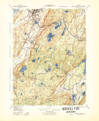 1943 Franklin Furnace1943 Print · USGSMid-century Sussex County is defined here by its deep mining roots and mountain reservoirs. Trace the industrial landscape of Franklin and Ogdensburg through landmarks like the N J Zinc Co, the Stockholm School, and the Lehigh and Hudson River.
 - 1943 Map of Newfoundland
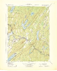 1943 Newfoundland1943 Print · USGSThe Pequannock River valley and its surrounding ridges are captured here during the Second World War. Researchers can trace the New York Susquehanna and Western rail line through Newfoundland or locate landmarks like the Fire House and West Milford School.
 - 1943 Map of Greenwood Lake
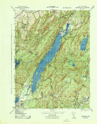 1943 Greenwood Lake1943 Print · USGSGreenwood Lake and the surrounding Highlands are captured during the early 1940s, revealing a landscape defined by iron industry and lakeside settlement. Genealogists and researchers can locate the Ringwood Iron Plant Mine, St Francis School, and the Erie Ringwood Branch railroad.
 - 1943 Map of Wawayanda
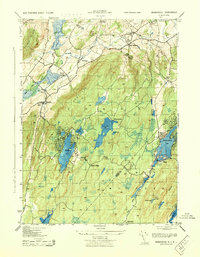 1943 Wawayanda1943 Print · USGSThe New York and New Jersey borderlands appear here in the early 1940s as a landscape of highland lakes and valley rail stops. Genealogists and local historians can trace the transit corridor of the Lehigh and Hudson River railroad and locate old rural landmarks like the New Milford School and Maple Grange.2 unique versions available
 - 1948 Map of Wanaque
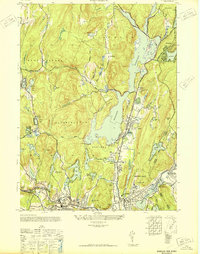 1948 Wanaque1948 Print · USGSNorthern New Jersey's Highlands were entering a period of significant post-war growth when this survey recorded the communities around the Wanaque Reservoir. Genealogists and local historians can trace family roots in Haskell, Bloomingdale, and Midvale, or locate landmarks like the Aquehonga Sch.2 unique versions available
 - 1950 Map of Scranton, 1952 Print
 1950 Scranton1952 Print · USGSMid-century Northeast Pennsylvania and the Hudson Valley come alive in this survey of the tri-state region. Genealogists and historians can trace the dense rail networks of the Erie RR and DL&W RR between industrial hubs like Scranton and Wilkes-Barre.
 - 1953 Map of Scranton
 1953 Scranton1953 Print · USGSNortheastern Pennsylvania and the Catskills are shown in great detail during the early fifties, a time when rail lines and river valleys dictated the region's growth. Genealogists and historians can trace the industrial hearts of Scranton and Wilkes-Barre or locate remote landmarks like High Point and Lake Wallenpaupack.
 - 1954 Map of Newfoundland, 1955 Print
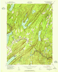 1954 Newfoundland1955 Print · USGSThe Highlands of northern New Jersey appear here in the mid-fifties, dominated by the massive reservoirs and ridge-lines of the Pequannock watershed. Genealogists and local historians can trace the New York Susquehanna and Western RR through Newfoundland and locate landmarks like Vreeland Cem and Postville.6 unique versions available
 - 1954 Map of Wanaque, 1956 Print
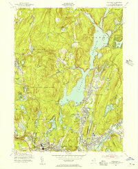 1954 Wanaque1956 Print · USGSMid-century Passaic County is defined by the massive Wanaque Reservoir and the busy rail lines serving the valley. Genealogists and local historians can trace the foundations of Bloomingdale, Butler, and Erskine, finding schools like Eleanor Hewitt Sch and the industrial remnants at Smiths Mills.4 unique versions available
 - 1954 Map of Wawayanda, 1956 Print
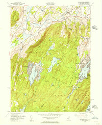 1954 Wawayanda1956 Print · USGSThe Highlands of the New Jersey and New York border are shown here in the early fifties during a period of expanding lakeside communities. Researchers can trace the winding Appalachian Trail or locate local landmarks like Glenwood Cem and the Lehigh and Hudson River railroad.4 unique versions available
 - 1954 Map of Franklin, 1956 Print
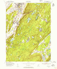 1954 Franklin1956 Print · USGSNorthern New Jersey during the mid-fifties reveals a landscape shaped by mining and mountain retreats. Genealogists and historians can trace rail lines and early settlements like Edison, Milton, and the St Thomas Cem.6 unique versions available
 - 1954 Map of Greenwood Lake, 1956 Print
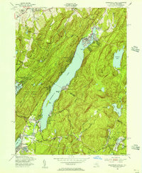 1954 Greenwood Lake1956 Print · USGSGreenwood Lake and the surrounding mountain ridges are shown at a turning point in the mid-1950s as the area shifted from industry to recreation. Genealogists and hikers can trace the Appalachian Trail, locate the Erskine Cem, and find an Iron Mine (Inactive) near the state line.5 unique versions available
 - 1959 Map of Scranton
 1959 Scranton1959 Print · USGSThe northern coalfields and the Hudson Valley meet in this mid-century survey of the Pennsylvania and New York borderlands. Genealogists and historians can trace the intricate rail networks of the Erie Railroad and the vast waters of Lake Wallenpaupack.2 unique versions available
 - 1962 Map of Scranton, 1977 Print
 1962 Scranton1977 Print · USGSThe industrial heart of eastern Pennsylvania and the New York Catskills are captured here in the early sixties. Genealogists and historians can trace the dense valley settlements from Scranton to Wilkes-Barre and the rail lines of the Erie Lackawanna Railroad.2 unique versions available
 - 1965 Map of Scranton
 1965 Scranton1965 Print · USGSThe tri-state highlands of Pennsylvania, New York, and New Jersey come alive in the mid-sixties as industry and recreation converge. Trace the intricate rail lines of the Erie Lackawanna RR or locate landmarks like the U S Military Academy.2 unique versions available
 - 1986 Map of Middletown
 1986 Middletown1986 Print · USGSThe Tri-State region comes alive in the mid-1980s, documenting the corridor from the Hudson River to the Delaware Water Gap. Researchers can trace the sprawling grounds of West Point, the extensive Conrail rail network, and early suburban growth around Middletown and Suffern.2 unique versions available
 - 1994 Map of Wawayanda, 1998 Print
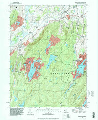 1994 Wawayanda1998 Print · USGSThe Highlands of northern New Jersey meet the New York border in the 1990s, where protected forests and ridge-top trails define the landscape. Trace the Appalachian Trail past Highland Lakes or locate family roots near Glenwood Cem and Greenwood Ch.
Showing maps 1-25 of 52
Top cities near West Milford
- New York historical maps
- Ramapo historical maps
- Paterson historical maps
- Clifton historical maps
- Wayne historical maps
- Parsippany-Troy Hills historical maps
See more
Top neighborhoods of West Milford
- Upper Greenwood Lake historical maps
- Uttertown historical maps
- Charlotteburg historical maps
- Clinton historical maps
- Oak Ridge historical maps
- Postville historical maps
See more
Frequently asked questions
- What are the different types of historical maps available for West Milford?
- What is the oldest map of West Milford?
- Where can I purchase historical maps of West Milford for my home or office?
- Where can I download high-res historical maps of West Milford?
- Are there historical topographic maps available for West Milford?
- Is there historical aerial imagery available for West Milford?
- Where are historical maps of West Milford sourced from?